

Sussex Walks

Arundel Walk and Map

Arundel walk, Sussex
Arundel · Photo: Marathon

Arundel is a pretty and historical town located on the banks of the River Arun, only five miles from the South Coast and in the South Downs National park.

We have three walks which start in this bustling little town but there is also a lot to do in the town itself.

Download the Sussex Walks App to follow these routes with real-time GPS navigation.

Download on the App Store Get it on Google Play

On a computer? Scan the QR code with your phone's camera to get the Sussex Walks app.

Arundel walk 01

Arundel town walk

Walk distance
¾ miles
Time
30 mins
Route type
Circular

Our first walk is a short stroll and takes you around Arundel, starting near the Arundel Museum where you can find out about Arundel's history as well as seeing local exhibits. In this area there is also the Arundel boatyard where you can hire a boat and enjoy the town from the fast flowing River Arun.

This walk takes you into the High Street with it's independent shops, restaurants, cafes, antiques shops and old coaching Inns. There is plenty of Georgian and Victorian architecture on show here but one of the most popular places to visit is Arundel Castle, a restored and remodelled castle that belongs to the Duke of Norfolk. The castle has been in his family since 1067.

Our walk also passes the 19th Century catholic church which is truly stunning with it's neo-gothic architecture but if you want a longer walk which takes in some of the beautiful surrounding countryside then our second walk is the one for you.

Arundel walk 02

Arundel park and lake walk

Walk distance
4 miles
Time
2 hours
Route type
Circular

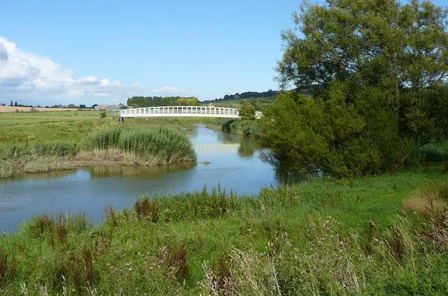
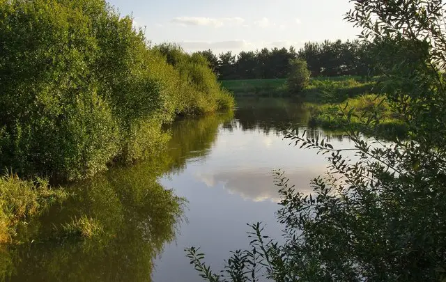
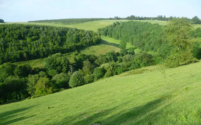
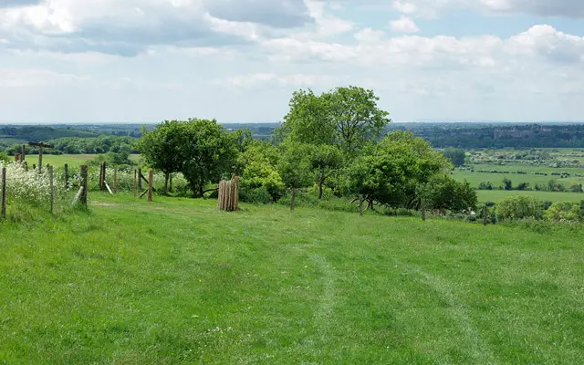
This second walk allows you to enjoy all the aspects of Arundel but also expands the route out of town, heading north into the Arundel Park and Swanbourne Lake. The lake is crystal clear as it is fed by a spring and hosts a vast array of wildlife. There are quiet areas off the main tracks for you to enjoy the surroundings and maybe have a picnic or you could take a rowing boat out onto the lake. Our walk then takes you on a delightful riverside loop alongside the River Arun before returning to the town. There are plenty of pubs and eateries in Arundel to help make this a perfect pub walk.

Arundel walk 03

Arundel adventure walk

Walk distance
8 miles
Time
4 hours
Route type
Circular

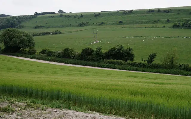
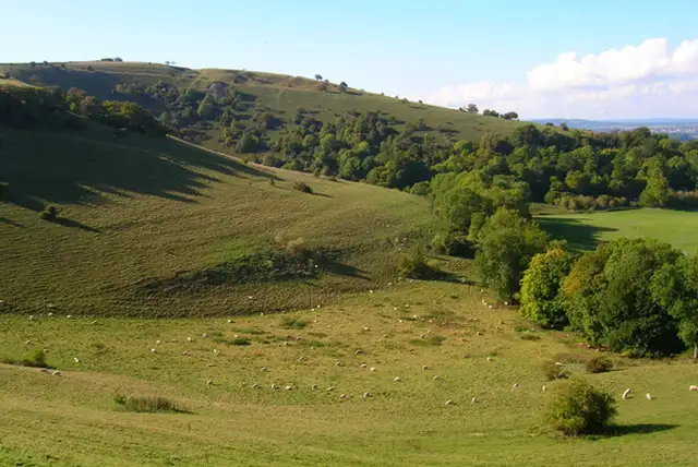
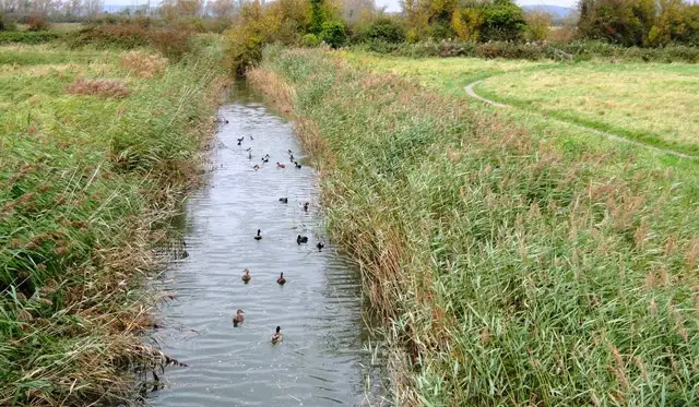
Our third and longest Arundel walk is an extended version of the second and takes in more of Arundel Park and allows you to take in views of the rolling chalk hills that make up the South Downs. This walk also takes you along the winding River Arun and passes the Wildfowl and Wetland nature reserve with it's 65 acres of wetlands and diverse wildlife species. When you return, there are plenty of pubs in the town itself for refreshments.

These Arundel walks start at coordinates: 50.854674, -0.55127

Navigate the walks

Sussex Walks App

Follow the Arundel walks with GPS guidance

It's like sat-nav, but for footpaths.

Choose a walk and follow the pointer showing your live position on the route map, so you always know you're on the right path.

The app works without a phone signal, so you can keep following the route wherever the walk takes you.

Download the app

Download on the App Store Get it on Google Play

On a computer? Scan the QR code with your phone's camera to get the Sussex Walks app.

Sussex Walks app showing the walker's live position on a route map

Designed to be simple

  • Choose a walk and follow the pointer
  • See your live position on the route map
  • Works without a phone signal
  • Includes 400 Sussex walks
  • Free one-month trial
  • Available for iPhone and Android

Explore the area

Nearby walks

Explore the county

Sussex walks map

Map data © OpenStreetMap contributors

Search Sussex walks

See where the walks start, explore the area and tap a pin to find a route for your next adventure.

Search Sussex walks
Expanded route map for Arundel town walk, a 0.75 mile circular walk in Sussex