

Staffordshire Walks

Pooley Country Park Walks and Route Maps

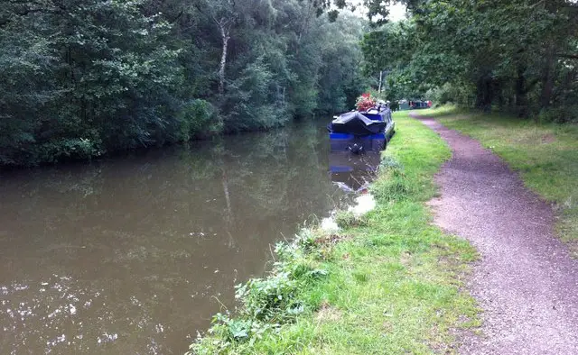
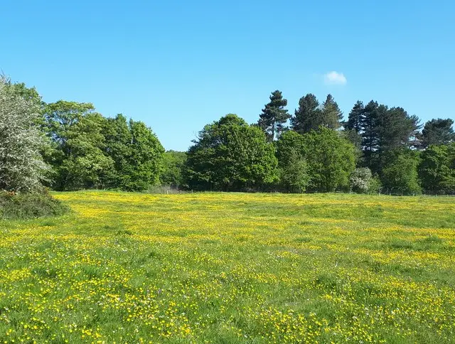
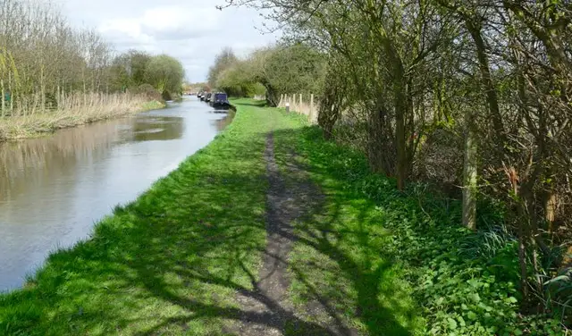
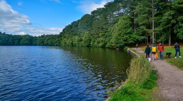
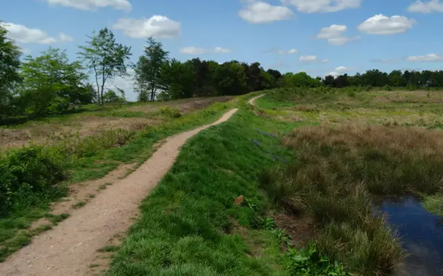
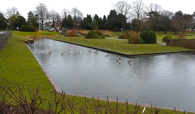
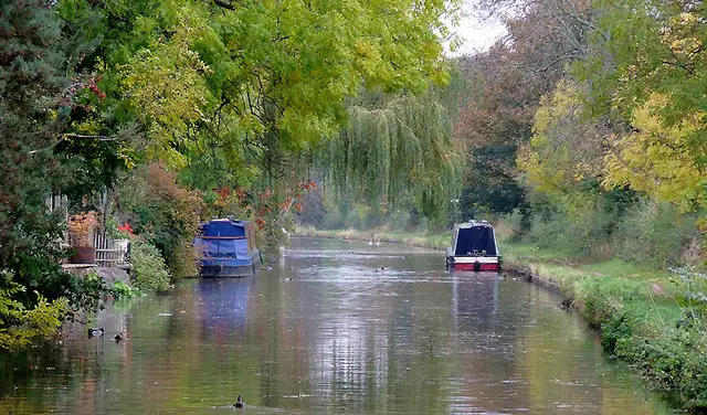
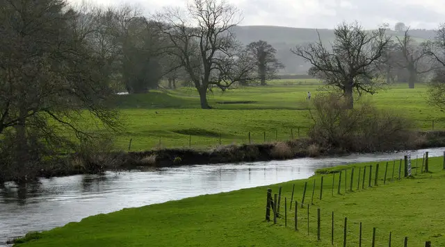
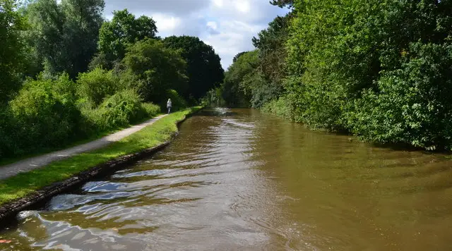
A path winding through open grassland and trees at Pooley Country Park, with water and a canal nearby
Pooley Country Park · Photo: David Martin

Pooley Country Park sits on the edge of Tamworth, on the site of the former Pooley Hall Colliery. Today it is a green open space with water, grassland and a gentle rise to the park's high point, where the gold-coloured Golden Tower of Leaves stands as a piece of public art.

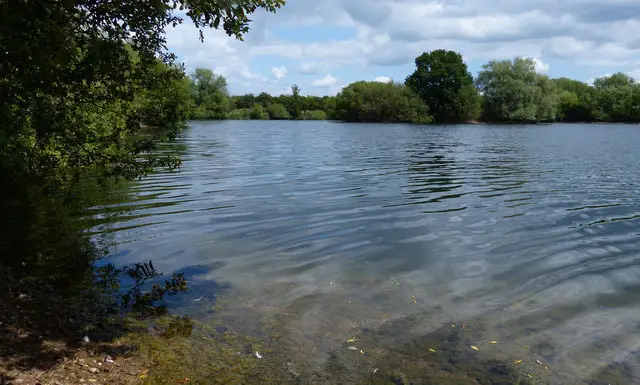
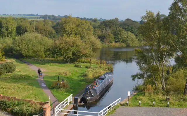
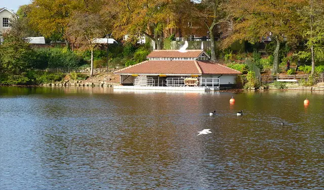
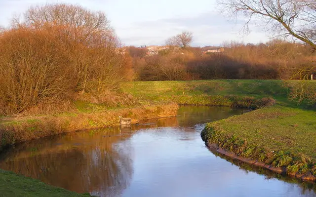
The walk here is short and relaxed, and a good part of it runs beside water, including the Coventry Canal. Along the way you pass Alvecote Priory, a ruined Benedictine priory founded in 1159. Its tall entrance arch and dovecote survive, and Historic England notes that such a complete set of buildings, earthworks and buried remains is relatively rare at a small monastic site.

The route starts and finishes at the visitor centre, so it is an easy outing for a spare hour or two. For more walks in the county, take a look at the Staffordshire Walks app.

Download the Staffordshire Walks App to follow this route with real-time GPS navigation.

Download on the App Store Get it on Google Play

On a computer? Scan the QR code with your phone's camera to get the Staffordshire Walks app.

Pooley Country Park walk 01

Pooley Country Park and Alvecote Priory Walk

Walk distance
2½ miles
Time
1 hour
Route type
Circular

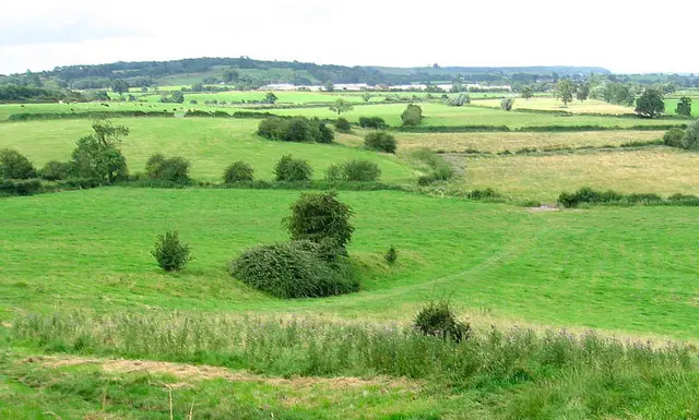
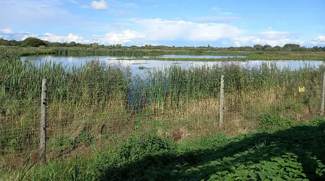
A short, easy-going loop around Pooley Country Park, a former colliery site near Tamworth that now makes a green and varied place for a walk.

Much of the route runs beside water, including a stretch of the Coventry Canal, with the Trent Valley railway line running close by. Near Alvecote Wood you pass the ruins of Alvecote Priory, a Benedictine priory founded in 1159. Its tall entrance arch is the most striking survivor, and the dovecote still stands beside it.

On the way back the route climbs gently to the high point of the park, where the Golden Tower of Leaves, a gold-coloured piece of public art, makes a good landmark before the final stretch to the visitor centre.

Pooley Country Park and Alvecote Priory Walk No ratings yet Be the first - rate this walk in the Staffordshire Walks App

Navigate the walks

Staffordshire Walks App

Follow the Pooley Country Park walk with GPS guidance

It's like sat-nav, but for footpaths.

Choose a walk and follow the pointer showing your live position on the route map, so you always know you're on the right path.

The app works without a phone signal, so you can keep following the route wherever the walk takes you.

Download the app

Download on the App Store Get it on Google Play

On a computer? Scan the QR code with your phone's camera to get the Staffordshire Walks app.

Staffordshire Walks app showing the walker's live position on a route map

Designed to be simple

  • Choose a walk and follow the pointer
  • See your live position on the route map
  • Works without a phone signal
  • Includes 150+ Staffordshire walks
  • Free one-month trial
  • Available for iPhone and Android

Explore the area

Nearby walks

Explore the county

Staffordshire walks map

Map data © OpenStreetMap contributors

Search Staffordshire walks

See where the walks start, explore the area and tap a pin to find a route for your next adventure.

Search Staffordshire walks
Expanded route map for Pooley Country Park and Alvecote Priory Walk, a 2.5 mile circular walk in Staffordshire