

Staffordshire Walks

Perry Hall Park Walks & Route Maps

Perry Hall Park walk, Staffordshire
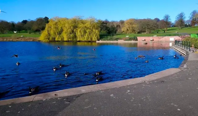
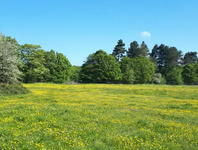
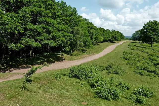
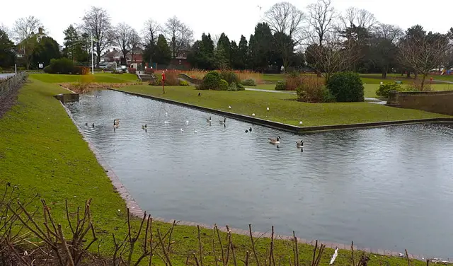
Perry Hall Park · Photo: Richard Hall

These walks around Perry Hall Park offer a refreshing slice of green space within the city.

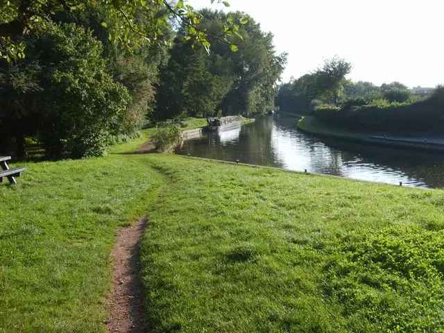
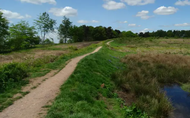
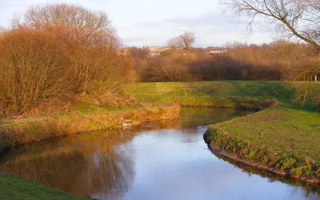
Following the River Tame and exploring the former grounds of the old Elizabethan hall, the walks provide a mix of riverside paths, open fields and a glimpse of the historic moat.

One route sticks to solid paths and is suitable for most wheels, while the longer option ventures onto grass for a little extra distance.

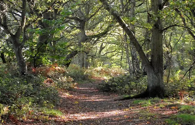
They may feel different to a remote countryside ramble, but the walks are a convenient and enjoyable way to stretch your legs without leaving the urban surroundings.

Download the Staffordshire Walks App to follow these routes with real-time GPS navigation.

Download on the App Store Get it on Google Play

Walk information

Perry Hall Park Walk 1

Walk distance
1¼ miles
Time
30 mins
Route type
Circular

Perry Hall Park is a big open green space that used to be the ornamental gardens and parkland of an Elizabethan Mansion called Perry Hall. Nowadays, it's home to the Birmingham Cricket League so it's a vibrant recreational space.

This first route is on solid paths throughout, so it's suitable for most wheels, and it tracks the River Tame for a while and visits an old moat for those in need of some waterside time.

This walk is perhaps not as peaceful and beautiful as most of our rural countryside walks, but it's a great accessible alternative without getting out of the city.

Perry Hall Park Walk 1 No ratings yet Be the first - rate this walk in the Staffordshire Walks App

Walk information

Perry Hall Park Walk 2

Walk distance
2 miles
Time
1 hour
Route type
Circular

This second route is simply a longer version of the walk around the Perry Hall Fields and alongside the River Tame.

This route takes you off the solid path through onto grass for the extension, so it might not be as good for some wheels.

Perry Hall Park Walk 2 No ratings yet Be the first - rate this walk in the Staffordshire Walks App

Navigate the walks

Staffordshire Walks App

Follow the Perry Hall Park walks with GPS guidance

It's like sat-nav, but for footpaths.

Choose a walk and follow the pointer showing your live position on the route map, so you always know you're on the right path.

The app works without a phone signal, so you can keep following the route wherever the walk takes you.

Download the app

Download on the App Store Get it on Google Play
Staffordshire Walks app showing the walker's live position on a route map

Designed to be simple

  • Choose a walk and follow the pointer
  • See your live position on the route map
  • Works without a phone signal
  • Includes 150+ Staffordshire walks
  • Free one-month trial
  • Available for iPhone and Android

Explore the area

Nearby walks

Explore the county

Staffordshire walks map

Map data © OpenStreetMap contributors

Search Staffordshire walks

See where the walks start, explore the area and tap a pin to find a route for your next adventure.

Search Staffordshire walks
Expanded route map for Perry Hall Park Walk 1, a 1.25 mile circular walk in Staffordshire