

Staffordshire Walks

Middleton Lakes Walks and Route Maps

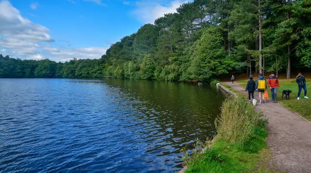
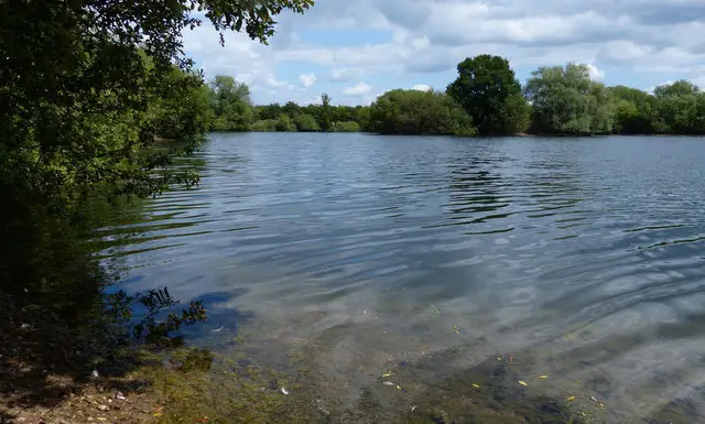
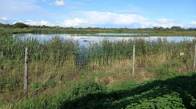
Calm lake at Middleton Lakes nature reserve with reeds, open water and trees along the far bank under a wide sky
Middleton Lakes · Photo: Richard Law

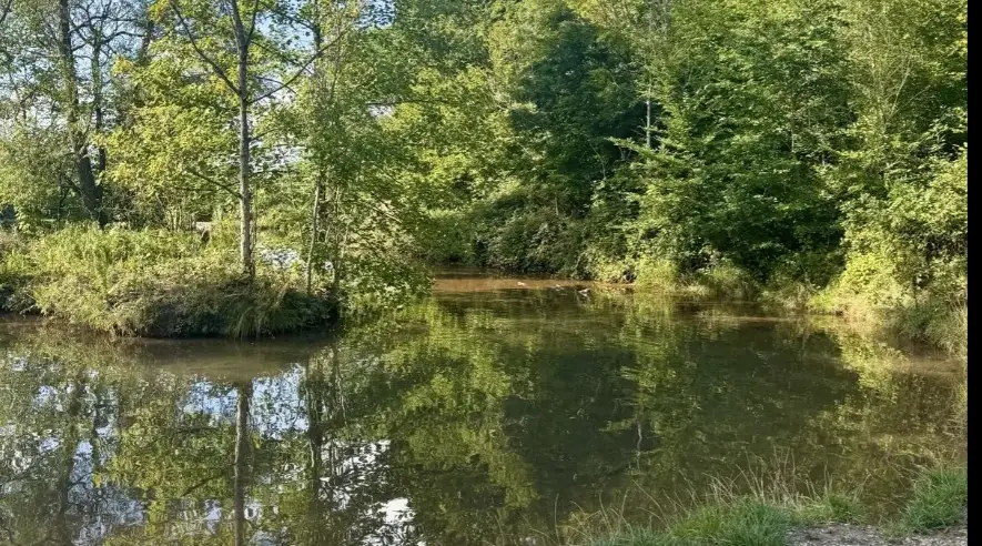
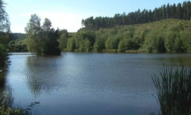
Middleton Lakes is an RSPB nature reserve in the River Tame valley, close to Tamworth in Staffordshire. Its lakes were formed from former gravel workings and sit within a mosaic of wetland, meadow and woodland, which makes for flat, easy walking with water in view for much of the way. The reserve is known for birds such as grey heron and kingfisher, and for wintering ducks including teal and wigeon.

We have three circular routes from the same start. The shortest keeps to the reserve, passing West Scrape, the Jubilee Wetlands, North Pool and The Lookout, with a stretch beside the Birmingham and Fazeley Canal. The middle route adds a wider loop by the River Tame and the hamlet of Cliff, and the longest also visits Dosthill Quarry and the area around St Paul's Church before returning through the wetlands.

All three are gentle, with very little climbing, so they suit a relaxed morning or afternoon. For more walks like this, take a look at the Staffordshire Walks app.

Download the Staffordshire Walks App to follow these routes with real-time GPS navigation.

Download on the App Store Get it on Google Play

On a computer? Scan the QR code with your phone's camera to get the Staffordshire Walks app.

Middleton Lakes walk 01

Middleton Lakes Short Walk

Walk distance
3 miles
Time
1.5 hours
Route type
Circular

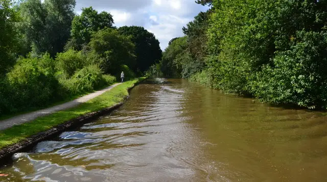
A short, flat circuit of the RSPB Middleton Lakes reserve, with water on almost every side. It starts with a stretch towards the Birmingham and Fazeley Canal, then moves on to West Scrape, Gallows Brook and the Jubilee Wetlands, before following the canal for a while.

The highlights come around the northern pools, where North Pool and The Lookout give you a place to pause and watch for birds. The reserve is known for grey heron and kingfisher. The return takes in the River Tame, Fisher's Mill Pool, Meadow Walk and the Heronry. Underfoot is level, with barely any climbing, so it suits an easy morning or afternoon.

Middleton Lakes Short Walk No ratings yet Be the first - rate this walk in the Staffordshire Walks App

Middleton Lakes walk 02

Middleton Lakes Walk with River Tame

Walk distance
4¾ miles
Time
2.5 hours
Route type
Circular

A longer lap of the Middleton Lakes reserve that adds a wide sweep of the River Tame valley to the lakes and wetlands. Early on you pass the Heronry, the canal bridge and Fisher's Mill Pool beside Langley Brook, before the route heads out towards the hamlet of Cliff and the River Tame.

Back on the reserve you follow Meadow Walk, then come to the heart of the site: North Pool, The Lookout and the Jubilee Wetlands, with a stretch beside the Birmingham and Fazeley Canal. The finish passes Gallows Brook and West Scrape. Almost all of it is flat, with just the odd gentle rise, and there is water within sight for much of the way.

Middleton Lakes Walk with River Tame No ratings yet Be the first - rate this walk in the Staffordshire Walks App

Middleton Lakes walk 03

Middleton Lakes and Dosthill Circular

Walk distance
6¼ miles
Time
3 hours
Route type
Circular

The longest of the Middleton Lakes options, this walk leaves the reserve for a taste of the surrounding Tamworth area before returning to the water. After the Heronry, the canal bridge and Fisher's Mill Pool, it reaches Dosthill Quarry, a lake of its own, and then passes through streets near St Paul's Church, with The Fox Inn a short detour off the route for a break.

The return takes in the River Tame, the hamlet of Cliff and Meadow Walk, then the best of the reserve: North Pool, The Lookout, the Jubilee Wetlands, the Birmingham and Fazeley Canal and West Scrape. There are a few gentle rises on the way out, but nothing steep. Allow a good half day.

Middleton Lakes and Dosthill Circular No ratings yet Be the first - rate this walk in the Staffordshire Walks App

Navigate the walks

Staffordshire Walks App

Follow the Middleton Lakes walks with GPS guidance

It's like sat-nav, but for footpaths.

Choose a walk and follow the pointer showing your live position on the route map, so you always know you're on the right path.

The app works without a phone signal, so you can keep following the route wherever the walk takes you.

Download the app

Download on the App Store Get it on Google Play

On a computer? Scan the QR code with your phone's camera to get the Staffordshire Walks app.

Staffordshire Walks app showing the walker's live position on a route map

Designed to be simple

  • Choose a walk and follow the pointer
  • See your live position on the route map
  • Works without a phone signal
  • Includes 150+ Staffordshire walks
  • Free one-month trial
  • Available for iPhone and Android

Explore the area

Nearby walks

Explore the county

Staffordshire walks map

Map data © OpenStreetMap contributors

Search Staffordshire walks

See where the walks start, explore the area and tap a pin to find a route for your next adventure.

Search Staffordshire walks
Expanded route map for Middleton Lakes Short Walk, a 3 mile circular walk in Staffordshire