

Somerset Walks

Wimbleball Lake Walks & Route Maps

Wimbleball Lake walk, Somerset
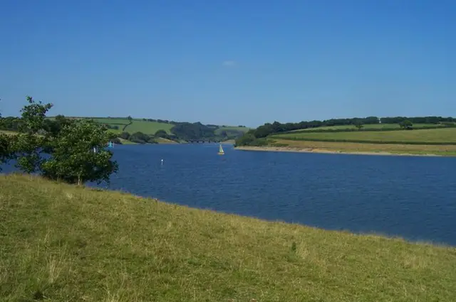
Wimbleball Lake · Photo: Lewis Clarke

These walks around Wimbleball Lake offer something for every walker, from gentle lakeside strolls to longer, more challenging hikes.

You’ll enjoy scenic woodland paths, panoramic views across the reservoir, and landmarks like Wimbleball Dam and Bessom Bridge, all set within the beautiful Exmoor Hills.

Whether you fancy a short, peaceful wander or a full-day adventure, these walks provide a perfect way to explore the lake and its surrounding countryside.

Download the Somerset Walks App to follow these routes with real-time GPS navigation.

Download on the App Store Get it on Google Play

Walk information

Wimbleball Lake Walk 1

Walk distance
2¾ miles
Time
1.5 hours
Route type
Circular

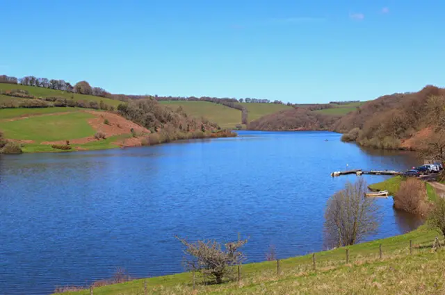
This first walk follows Wimbleball sailing and angling lake. We have four walks from this area going in different directions.

This walk is linear and follows the large reservoir nestled within the Exmoor Hills. At the end of the route you will visit the 161 foot Dam which is a major feature of the lake, where you can take in views of the engineering marvel that helps supply water to the surrounding region.

Once you reach the dam, we have turned around but you could continue if you wished to walk further (please see the other walks).

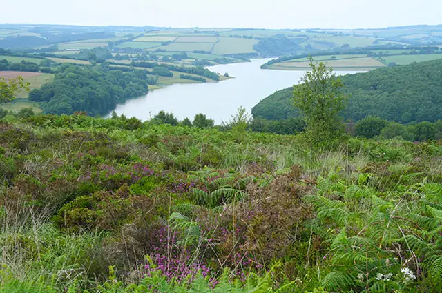
Wimbleball Lake Walk 1 No ratings yet Be the first - rate this walk in the Somerset Walks App

Walk information

Wimbleball Lake Walk 2

Walk distance
2¾ miles
Time
1.5 hours
Route type
Circular

The second walk is a 'there and back' walk that follows the edge of Wimbleball lake but in the opposite direction of our first walk.

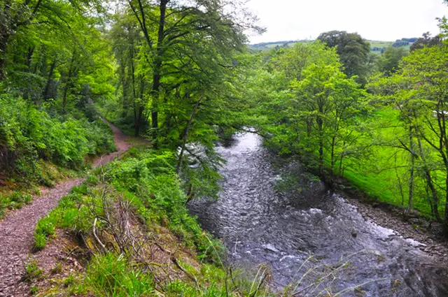
The walk follows the lake which is a wildlife haven and takes you through some lovely woodland too.

You will reach the Bessom Bridge which you can cross and maybe have a picnic on the other side overlooking the lake or you can just return back to the start.

Wimbleball Lake Walk 2 No ratings yet Be the first - rate this walk in the Somerset Walks App

Walk information

Wimbleball Lake Walk 3

Walk distance
8¼ miles
Time
4 hours
Route type
Circular

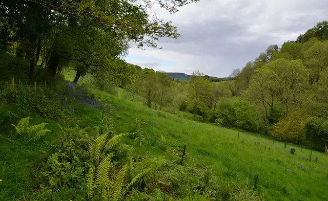
This longer Wimbleball Lake walk takes you completely around the lake, offering stunning views of the lake, wooded valleys, and rolling hills in Exmoor National Park.

This walk combines natural beauty with key landmarks, making it a rewarding and diverse experience. The route covers the tranquil paths of West Hill Wood and South Hill Wood, which are full of birdlife and provide shaded sections.

You will also see the impressive Wimbleball Dam and cross the charming Bessom Bridge, a key point on the walk where you can enjoy expansive views across the water.

The bridge marks an ideal spot to rest and admire the lake's sweeping scenery. The route is long and moderately challenging.

Wimbleball Lake Walk 3 3.0 Ratings and reviews 1 rating

Based on 1 user rating

Community feedback

Overall rating3.0

Mixed feedback from walkers

Dog friendly3.0 / 5
Path condition2.0 / 5
Buggy friendly1.0 / 5
Wheelchair friendly1.0 / 5
Toilet facilities2.0 / 5
Pub or café3.0 / 5
Route accuracy3.0 / 5
ClimbingGentle slopes
LivestockNo livestock
StilesA stile or two
Mud levelBoots recommended

Real feedback from people who have completed this walk using the Somerset Walks app.

Walk information

Wimbleball Lake Walk 4

Walk distance
9½ miles
Time
4.5 hours
Route type
Circular

Our final and longest walk is an epic adventure which incorporates most of the Wimbleball Lake Walk 3 but also includes a very steep climb up Haddon Hill.

This extended scenic route through Exmoor National Park combines peaceful woodland trails, lakeside paths, and stunning panoramic hilltop views.

It's a challenging walk which includes some steep climbs and provides a mix of terrains and stunning views, perfect for those looking for a slightly longer and more varied strenuous hike.

Wimbleball Lake Walk 4 No ratings yet Be the first - rate this walk in the Somerset Walks App

Navigate the walks

Somerset Walks App

Follow the Wimbleball Lake walks with GPS guidance

It's like sat-nav, but for footpaths.

Choose a walk and follow the pointer showing your live position on the route map, so you always know you're on the right path.

The app works without a phone signal, so you can keep following the route wherever the walk takes you.

Download the app

Download on the App Store Get it on Google Play
Somerset Walks app showing the walker's live position on a route map

Designed to be simple

  • Choose a walk and follow the pointer
  • See your live position on the route map
  • Works without a phone signal
  • Includes 250 Somerset walks
  • Free one-month trial
  • Available for iPhone and Android

Explore the area

Nearby walks

Explore the county

Somerset walks map

Map data © OpenStreetMap contributors

Search Somerset walks

See where the walks start, explore the area and tap a pin to find a route for your next adventure.

Search Somerset walks
Expanded route map for Wimbleball Lake Walk 1, a 2.75 mile circular walk in Somerset