

Somerset Walks

Haddon Hill Walks & Route Maps

Haddon Hill walk, Somerset
Haddon Hill · Photo: Martin Bodman

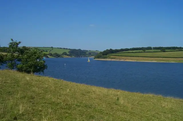
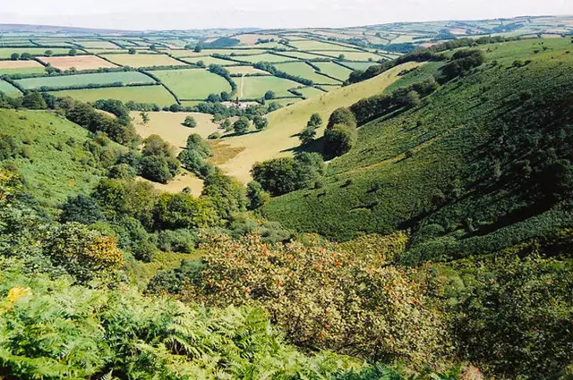
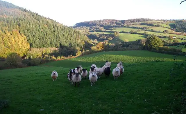
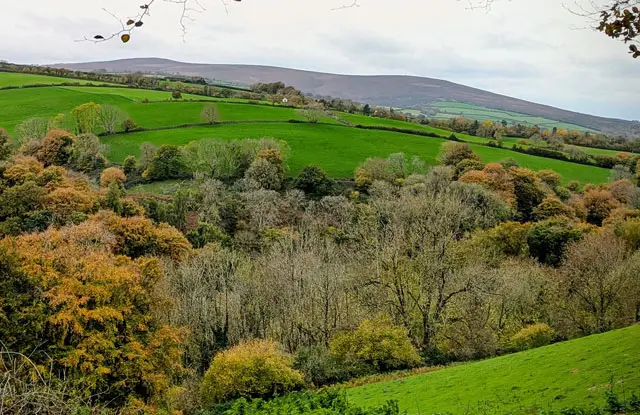
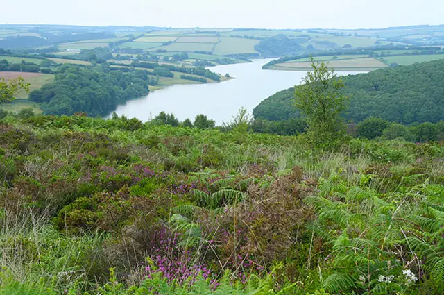
Set near the southern edge of Exmoor, these walks on Haddon Hill offer sweeping views across wild moorland and over Wimbleball Lake.

With options ranging from a steady climb to the summit trig point to a longer, more adventurous circuit taking in woodland, river valleys and the impressive Wimbleball Dam, the walks provide something for everyone - and you may even spot the famous Exmoor ponies along the way.

Download the Somerset Walks App to follow these routes with real-time GPS navigation.

Download on the App Store Get it on Google Play

Walk information

Haddon Hill Walk 1

Walk distance
1½ miles
Time
1 hour
Route type
Circular

Located near the southern tip of Exmoor, Haddon Hill offers stunning views over the wide open moorland of Exmoor and Wimbleball lake.

This fairly short walk up to the summit is a gradual climb which rewards you with panoramic views and then the route circles back to the start.

If you are lucky, you might also see the Exmoor ponies.

Haddon Hill Walk 1 No ratings yet Be the first - rate this walk in the Somerset Walks App

Walk information

Haddon Hill Walk 2

Walk distance
2¾ miles
Time
1.5 hours
Route type
Circular

The second route is a slightly longer walk that leads up to the top of Haddon Hill, where you'll find the trig point (a concrete marker) and enjoy sweeping views of Exmoor's wild open moorlands.

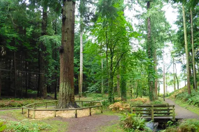
The path then loops back through Hadborough Plantation, offering a scenic return to the starting point.

Haddon Hill Walk 2 5.0 Ratings and reviews 1 rating · 1 review

Based on 1 user rating

Community feedback

Overall rating5.0

An outstanding walk

Dog friendly5.0 / 5
Path condition3.0 / 5
Buggy friendly2.0 / 5
Wheelchair friendly1.0 / 5
Toilet facilities5.0 / 5
Pub or café1.0 / 5
Route accuracy5.0 / 5
ClimbingSome climbing
LivestockSome livestock
StilesNo stiles
Mud levelMay be muddy after wet weather

Real feedback from people who have completed this walk using the Somerset Walks app.

First-hand experiences

User reviews

Walker review

Always lovely on Hadden Hill. This was a new route for us which made a nice change.

Walk information

Haddon Hill Walk 3

Walk distance
6¼ miles
Time
3 hours
Route type
Circular

The third walk is a challenging and adventurous route where natural and man-made landscapes blend beautifully.

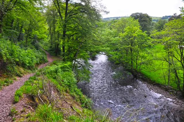
Starting with the short climb to Haddon Hill, this walk will take you through the small hamlet of Bury, along a scenic wooded valley, and beside the River Haddeo.

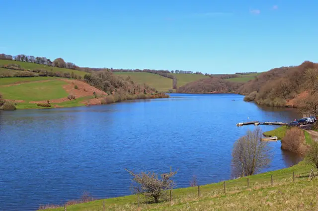
You'll also visit Wimbleball Lake, where you can admire the impressive 50-meter-high Wimbleball Dam, which forms the 374-acre lake.

The dam offers breathtaking views and a chance to admire the area's rich wildlife and outdoor activities like sailing and kayaking.

This is an epic and strenuous walk so please make sure you are appropriately prepared.

Haddon Hill Walk 3 No ratings yet Be the first - rate this walk in the Somerset Walks App

Navigate the walks

Somerset Walks App

Follow the Haddon Hill walks with GPS guidance

It's like sat-nav, but for footpaths.

Choose a walk and follow the pointer showing your live position on the route map, so you always know you're on the right path.

The app works without a phone signal, so you can keep following the route wherever the walk takes you.

Download the app

Download on the App Store Get it on Google Play
Somerset Walks app showing the walker's live position on a route map

Designed to be simple

  • Choose a walk and follow the pointer
  • See your live position on the route map
  • Works without a phone signal
  • Includes 250 Somerset walks
  • Free one-month trial
  • Available for iPhone and Android

Explore the area

Nearby walks

Explore the county

Somerset walks map

Map data © OpenStreetMap contributors

Search Somerset walks

See where the walks start, explore the area and tap a pin to find a route for your next adventure.

Search Somerset walks
Expanded route map for Haddon Hill Walk 1, a 1.5 mile circular walk in Somerset