
At a glance
Wiveslicombe Walk
- Distance
- 3 miles
- Estimated time
- 1.5 hours
- Route type
- Circular
- GPS app guided
- Yes
- Parking
- Paid parking at start 51.04153, -3.31299
- Characteristics
- Hills, Pub
Somerset Walks
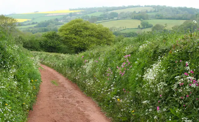
This walk takes you into the countryside surrounding Wiveliscombe, where quiet lanes and open fields sit within a gently hilly landscape on the edge of the Quantock Hills.
Parts of the route follow the West Deane Way, weaving through farmland and small valleys, before finishing back in Wiveliscombe where The Bear Inn offers a convenient place to stop for refreshments.
Download the Somerset Walks App to follow this route with real-time GPS navigation.


At a glance
The walk
This short walk explores the rolling countryside around Wiveliscombe, in a landscape known for its hills and quiet rural character.
Parts of the route follow the West Deane Way, a long-distance footpath that threads through the farms, valleys, and small settlements of the West Deane area on the edge of the Quantock Hills.
The terrain here can be a little hilly and the route also passes The Bear Inn, offering a stopping point where refreshments can be found after the walk.
Refreshments:
The Bear Inn, Wiveliscombe
Time for a stop
Navigate the walks
The easiest way to follow this route is with the Somerset Walks app. Choose the walk and follow the pointer showing your live position on the route map, so you can see you're on the right path.
The app works without a phone signal, so you can keep following the route wherever the walk takes you.

Explore the area
 5 miles
 0.75-2 miles
 1.25 miles
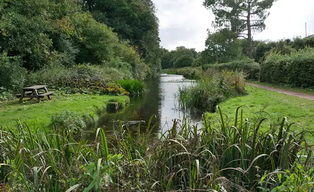 4.5 miles
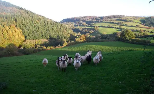 3.5-6.25 miles
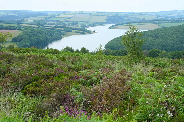 1.5-6.25 miles
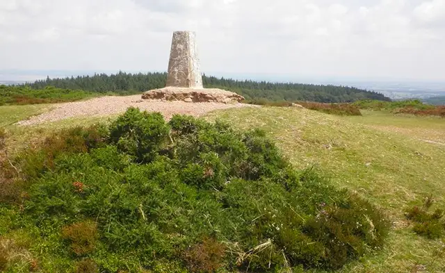 2.75-5.25 miles
 1.75-3.75 miles
 2.75-9.5 miles
 2.25-9 miles
 1.75 miles
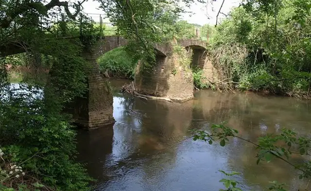 0.75-1.75 miles
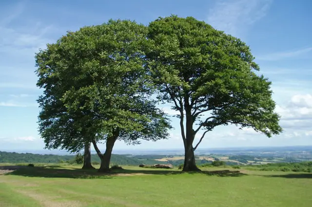 2.25 miles
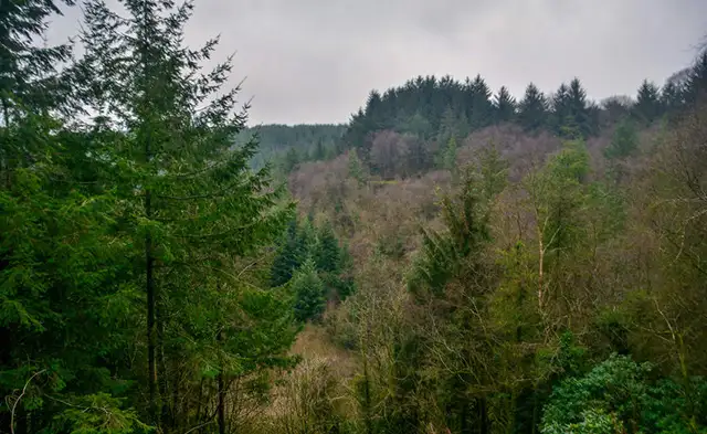 2 miles
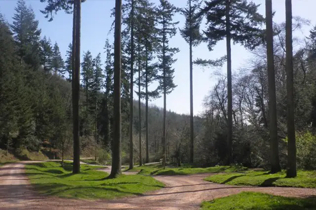 1-4 miles
Explore the county
See where the walks start, explore the area and tap a pin to find a route for your next adventure.
Search Somerset walks