

Somerset Walks

Langport Walks & Route Maps

Langport walk, Somerset
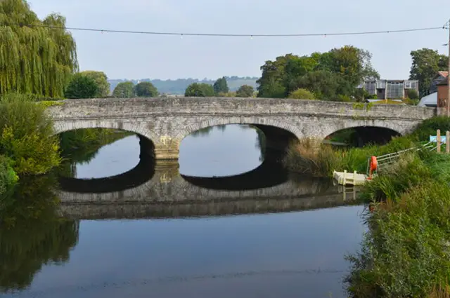
Langport · Photo: David Martin

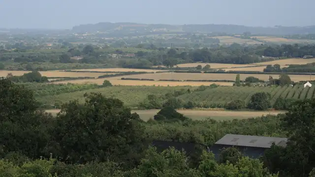
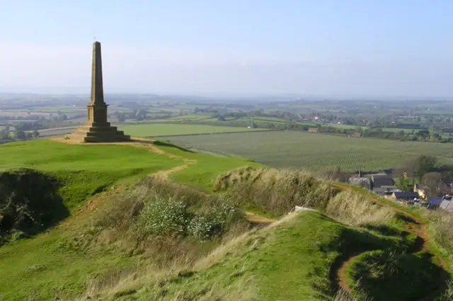
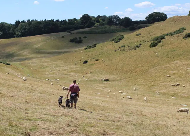
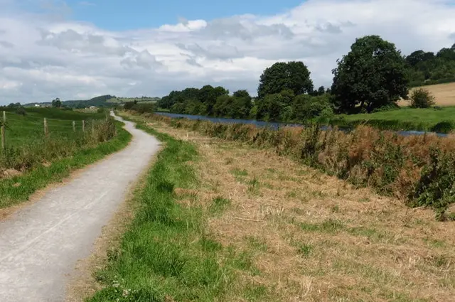
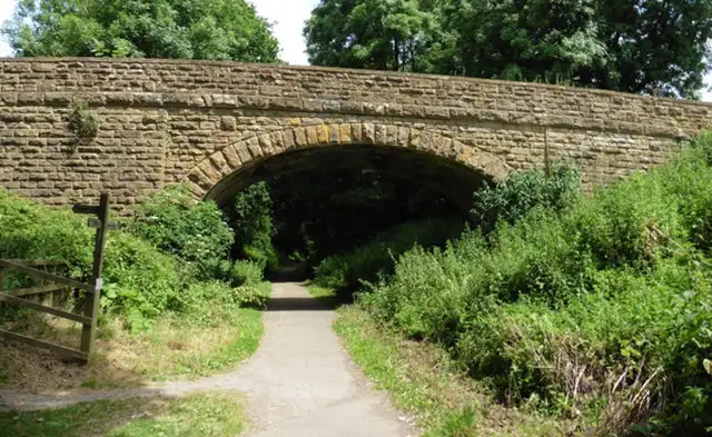
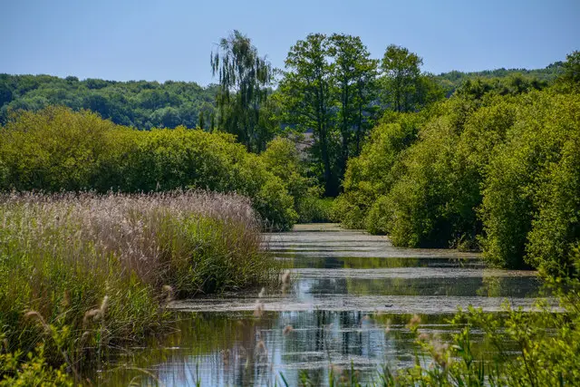
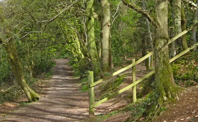
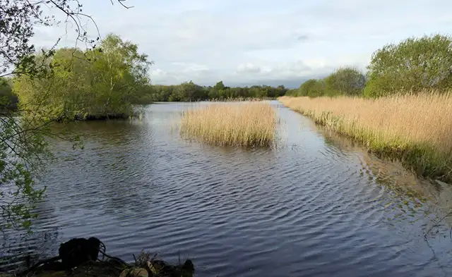
These walks around Langport offer a wonderful mix of riverside charm, open countryside, and quaint Somerset townscapes.

From a gentle stroll around Northstreet Moor and the River Parrett to a longer circular route that passes the scenic River Parrett Trail and the historic ruins of Muchelney Abbey, the walks are perfect for spotting wildlife, enjoying peaceful scenery, and finishing with a well-earned refreshment in one of Langport’s pubs or cafés.

Download the Somerset Walks App to follow these routes with real-time GPS navigation.

Download on the App Store Get it on Google Play

Walk information

Langport Walk 1

Walk distance
2½ miles
Time
1 hour
Route type
Circular

The first walk takes you around the charming town of Langport and its surrounding countryside, including a scenic route around Northstreet Moor and along the River Parrett.

Part of the riverside walk is an out-and-back stretch, but for those seeking a longer, circular route, consider exploring Walk 3. Langport also offers plenty of pubs and cafés for refreshments.

Langport Walk 1 5.0 Ratings and reviews 2 ratings

Based on 2 user ratings

Community feedback

Overall rating5.0

An outstanding walk

Dog friendly4.5 / 5
Path condition4.0 / 5
Buggy friendly3.0 / 5
Wheelchair friendly2.0 / 5
Toilet facilities3.0 / 5
Pub or café4.0 / 5
Route accuracy4.0 / 5
ClimbingTotally level
LivestockRarely any livestock
StilesNo stiles
Mud levelBoots recommended

Real feedback from people who have completed this walk using the Somerset Walks app.

Walk information

Langport Walk 2

Walk distance
3¼ miles
Time
1.5 hours
Route type
Circular

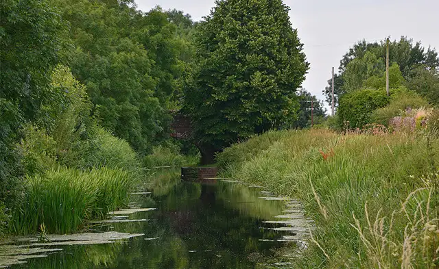
The second walk is an extended version of Walk 1, offering more time along the River Parrett. The River Parrett winds its way through Somerset, providing picturesque views, tranquil surroundings, and opportunities to spot local wildlife.

If you're looking for a peaceful countryside experience with riverside charm, this route is a great option. There are pubs and cafés in Langport for refreshments along the way.

Langport Walk 2 5.0 Ratings and reviews 1 rating · 1 review

Based on 1 user rating

Community feedback

Overall rating5.0

An outstanding walk

Dog friendly5.0 / 5
Path condition5.0 / 5
Buggy friendly4.0 / 5
Wheelchair friendly4.0 / 5
Toilet facilities2.0 / 5
Pub or café3.0 / 5
Route accuracy5.0 / 5
ClimbingTotally level
LivestockNo livestock
StilesA few stiles on route
Mud levelMay be muddy after wet weather

Real feedback from people who have completed this walk using the Somerset Walks app.

First-hand experiences

User reviews

Walker review

Lovely flat riverside walk.

Walk information

Langport Walk 3

Walk distance
4 miles
Time
2 hours
Route type
Circular

The third walk is a longer circular route south of Langport, taking you along an extended stretch of the River Parrett Trail, renowned for its peaceful riverside views and abundant wildlife.

This scenic walk loops back through open countryside, providing a mix of riverside and rural landscapes.

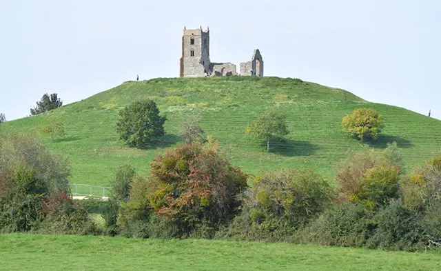
This route also includes an optional diversion to the ruins of Muchelney Abbey, a once-thriving Benedictine monastery founded in the 10th century, which offers a glimpse into the area's rich medieval history. This diversion is along a road though, so please be careful here.

As with the other walks, this route also offers plenty of opportunities for refreshment in Langport.

Langport Walk 3 4.0 Ratings and reviews 1 rating · 1 review

Based on 1 user rating

Community feedback

Overall rating4.0

A very popular walk

Dog friendly5.0 / 5
Path condition1.0 / 5
Buggy friendly3.0 / 5
Wheelchair friendly1.0 / 5
Toilet facilities3.0 / 5
Pub or café3.0 / 5
Route accuracy5.0 / 5
ClimbingTotally level
LivestockLivestock likely
StilesA stile or two
Mud levelBoots recommended

Real feedback from people who have completed this walk using the Somerset Walks app.

First-hand experiences

User reviews

Walker review

Very flat about 3

Navigate the walks

Somerset Walks App

Follow the Langport walks with GPS guidance

It's like sat-nav, but for footpaths.

Choose a walk and follow the pointer showing your live position on the route map, so you always know you're on the right path.

The app works without a phone signal, so you can keep following the route wherever the walk takes you.

Download the app

Download on the App Store Get it on Google Play
Somerset Walks app showing the walker's live position on a route map

Designed to be simple

  • Choose a walk and follow the pointer
  • See your live position on the route map
  • Works without a phone signal
  • Includes 250 Somerset walks
  • Free one-month trial
  • Available for iPhone and Android

Explore the area

Nearby walks

Explore the county

Somerset walks map

Map data © OpenStreetMap contributors

Search Somerset walks

See where the walks start, explore the area and tap a pin to find a route for your next adventure.

Search Somerset walks
Expanded route map for Langport Walk 1, a 2.5 mile circular walk in Somerset