
At a glance
Burrow Mump Walk
- Distance
- 0.5 miles
- Estimated time
- 30 mins
- Route type
- Circular
- GPS app guided
- Yes
- Parking
- Free parking at start 51.07091, -2.91432
- Characteristics
- Hills, Water, Pub
Somerset Walks
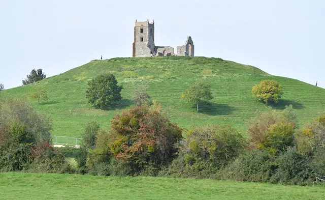
Set in the Somerset Levels, this walk is a very short climb up Burrow Mump, a distinctive hill topped with the ruins of St Michael’s Church.
It’s an easy outing with amazing views over the flat surrounding wetlands and the River Parrett nearby.
Download the Somerset Walks App to follow this route with real-time GPS navigation.


At a glance
The walk
This route is a very short walk and climb to Burrow Mump, which rises from the surrounding flat landscape and is topped by the ruins of St Michael’s Church.
Nearby, the River Parrett winds through the low-lying fields and next to the river is a good pub for refreshments.
Refreshments:
The King Alfred, Burrowbridge
Based on 1 user rating
An outstanding walk
Very dog friendly
Reasonable paths
Not suitable for pushchairs
Mostly accessible
No facilities
Good stop on route
Accurate
Real feedback from people who have completed this walk using the Somerset Walks app.
First-hand experiences
Views are amazing. ...
Comments from walkers who have completed the Burrow Mump walk.
Time for a stop
Navigate the walks
The easiest way to follow this route is with the Somerset Walks app. Choose the walk and follow the pointer showing your live position on the route map, so you can see you're on the right path.
The app works without a phone signal, so you can keep following the route wherever the walk takes you.

Explore the area
 2.5-4 miles
 4.75 miles
 1.5-5.25 miles
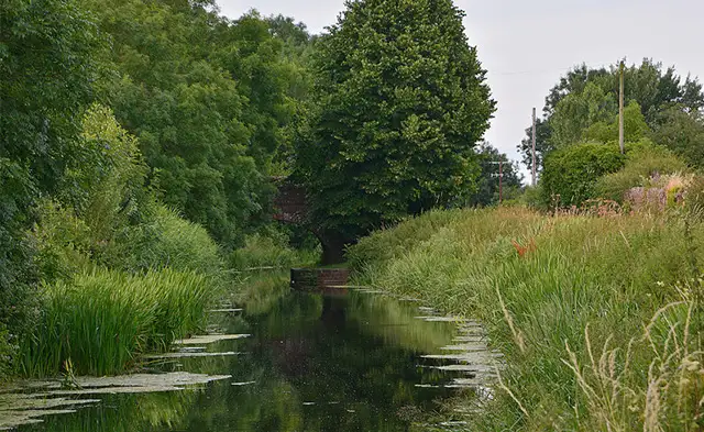 4.75 miles
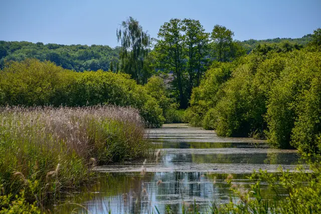 2-8.25 miles
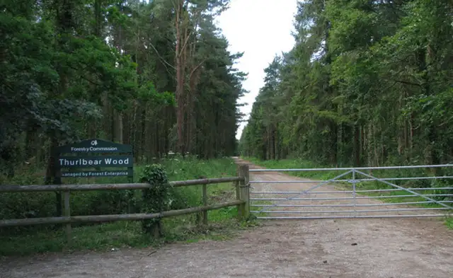 1.25 miles
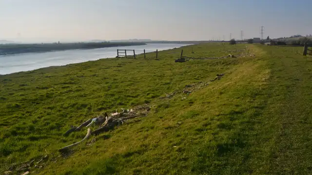 2.75-7.25 miles
 1.25 miles
 1.25-4 miles
 3 miles
 2.25 miles
 2.5 miles
 2.5-3.75 miles
 1.75-3.5 miles
 0.75-1.75 miles
Explore the county
See where the walks start, explore the area and tap a pin to find a route for your next adventure.
Search Somerset walks