
At a glance
King's Sedgemoor Drain Walk
- Distance
- 4.75 miles
- Estimated time
- 2.5 hours
- Route type
- Circular
- GPS app guided
- Yes
- Parking
- Free parking at start 51.13548, -2.92757
- Characteristics
- Water, Countryside
Somerset Walks
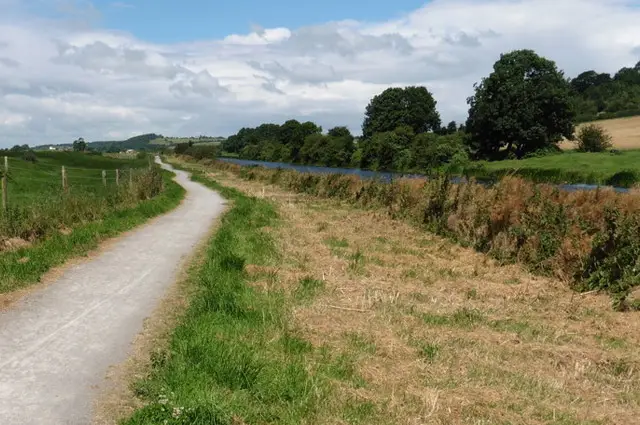
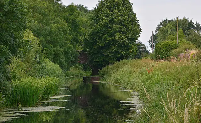
This walk follows the peaceful King’s Sedgemoor Drain, combining quiet country lanes with a scenic waterside path.
Passing Pendon Hill and the charming village of Bawdrip, it’s a gentle stroll perfect for enjoying Somerset’s tranquil countryside.
Download the Somerset Walks App to follow this route with real-time GPS navigation.


At a glance
The walk
This is a lovely stroll around the King's Sedgeway Drain which is an artificial channel that diverts water from the River Cary.
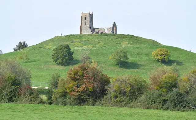
You'll first head off on a long quiet country lan on a loop that takes you around the back of Pendon Hill, before eventually you'll reach the village of Bawdrip where you can visit the pretty church.
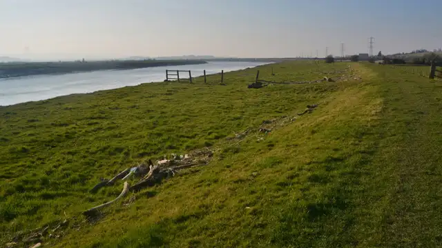
Afetr that, you'll enjoy a waterside stroll back to the start on a long footpath next to the channel itself.
Based on 1 user rating
Mixed feedback from walkers
Not suitable for dogs
Some rough sections
Not suitable for pushchairs
Not wheelchair accessible
No facilities
Take a packed lunch
Some doubts
Real feedback from people who have completed this walk using the Somerset Walks app.
Navigate the walks
The easiest way to follow this route is with the Somerset Walks app. Choose the walk and follow the pointer showing your live position on the route map, so you can see you're on the right path.
The app works without a phone signal, so you can keep following the route wherever the walk takes you.

Explore the area
 0.5 miles
 2.75-7.25 miles
 1.5-5.25 miles
 2-8.25 miles
 1.5 miles
 3-9.25 miles
 1.75-3.5 miles
 2.5-4 miles
 5 miles
 1.25-4 miles
 5 miles
 1.25 miles
 4.75 miles
 1.75 miles
 2.5 miles
Explore the county
See where the walks start, explore the area and tap a pin to find a route for your next adventure.
Search Somerset walks