

Somerset Walks

Castle Neroche Walks & Route Maps

Castle Neroche walk, Somerset
Castle Neroche · Photo: Fran

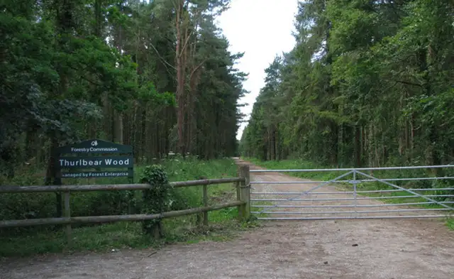
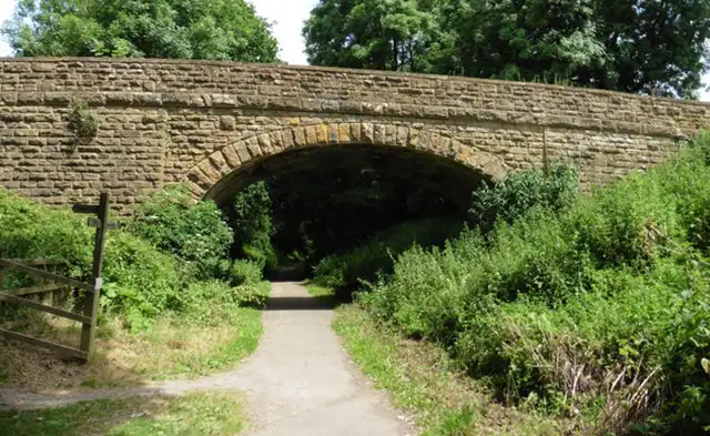
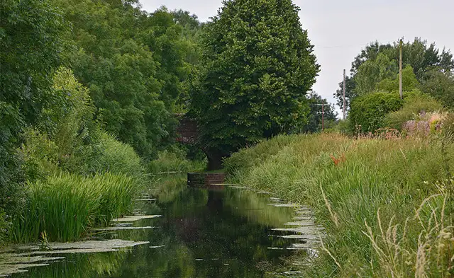
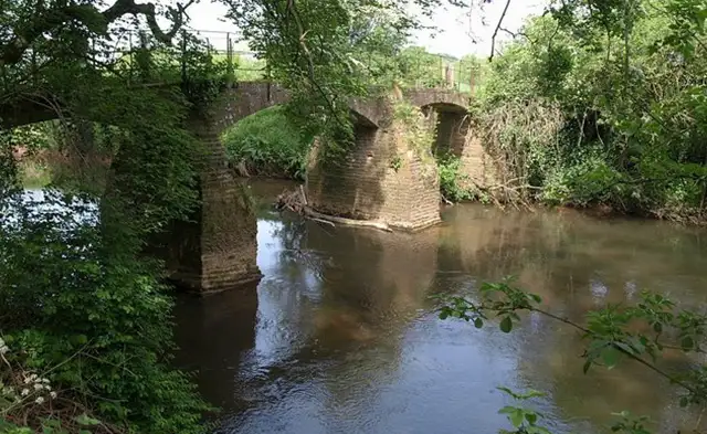
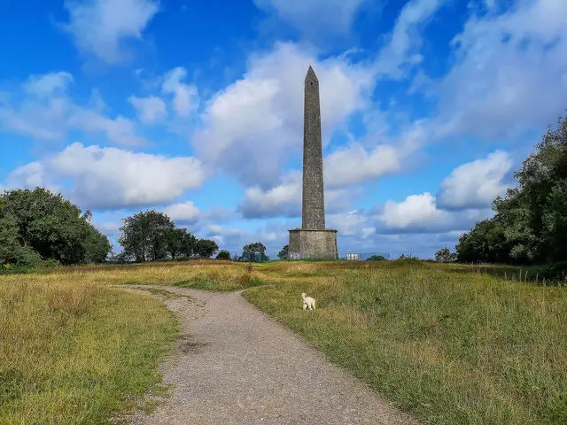
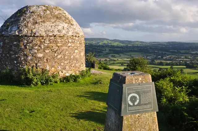
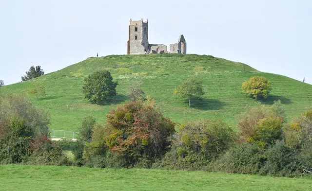
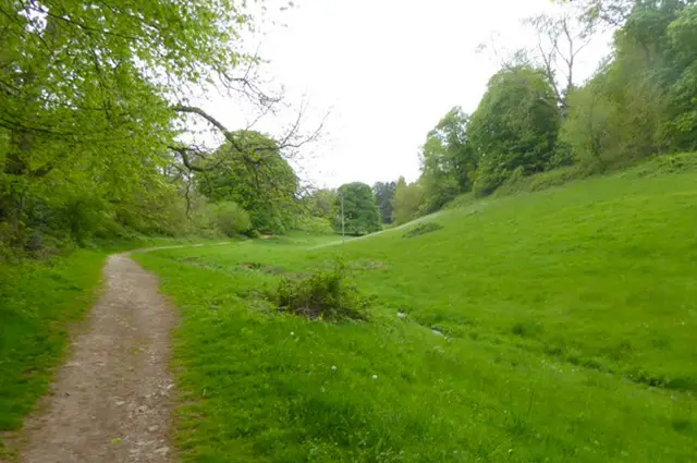
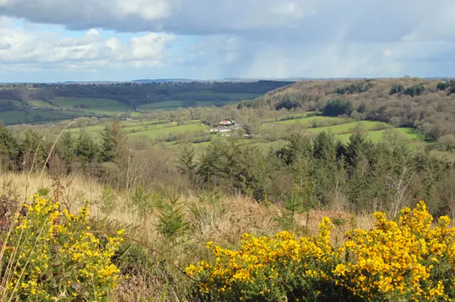
Set on the edge of the Blackdown Hills in Somerset, the walks around Castle Neroche explore a mix of wooded slopes and historic hilltop remains.

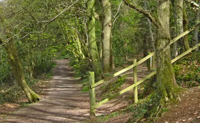
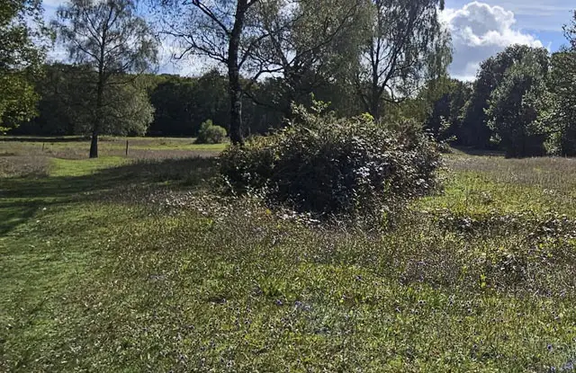
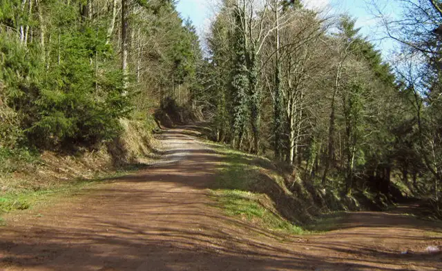
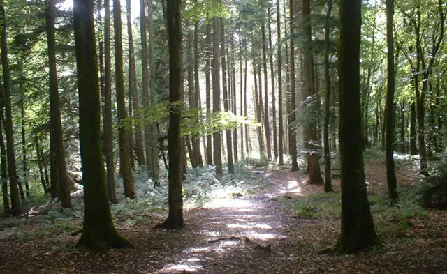
These walks are fairly varied in terrain, with paths that move between forested sections and open clearings.

The shorter walk keeps things more direct around the hilltop and castle earthworks, while the longer route extends further into Middleroom Wood and Castle Plantation, also following parts of the Herepath Trail.

Together, the walks offer a straightforward way to experience this wooded hill and its historic setting.

Download the Somerset Walks App to follow these routes with real-time GPS navigation.

Download on the App Store Get it on Google Play

Walk information

Castle Neroche Walk 1

Walk distance
1 mile
Time
30 mins
Route type
Circular

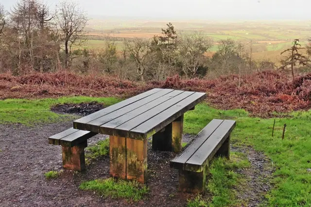
The first route is a short walk, offering an easier way to explore the setting of Castle Neroche without the steeper climbs found elsewhere on the hill.

The route still has hills but it's a more relaxed way to take in the character of the area.

At its centre are the earthworks of the Norman motte-and-bailey castle, set within a mix of woodland and open clearings.

Castle Neroche Walk 1 No ratings yet Be the first - rate this walk in the Somerset Walks App

Walk information

Castle Neroche Walk 2

Walk distance
4 miles
Time
2 hours
Route type
Circular

The second walk is longer and explores more of the woodland around Castle Neroche, with a steady descent followed by a climb back up to the hilltop.

The changing levels add a bit more challenge, with routes passing through forested sections and quieter corners.

Middleroom Wood and Castle Plantation continue with the wooded feel, while stretches of the Herepath Trail follow an ancient line across the hills.

The route then returns to the castle earthworks.

Castle Neroche Walk 2 No ratings yet Be the first - rate this walk in the Somerset Walks App

Navigate the walks

Somerset Walks App

Follow the Castle Neroche walks with GPS guidance

It's like sat-nav, but for footpaths.

Choose a walk and follow the pointer showing your live position on the route map, so you always know you're on the right path.

The app works without a phone signal, so you can keep following the route wherever the walk takes you.

Download the app

Download on the App Store Get it on Google Play
Somerset Walks app showing the walker's live position on a route map

Designed to be simple

  • Choose a walk and follow the pointer
  • See your live position on the route map
  • Works without a phone signal
  • Includes 250 Somerset walks
  • Free one-month trial
  • Available for iPhone and Android

Explore the area

Nearby walks

Explore the county

Somerset walks map

Map data © OpenStreetMap contributors

Search Somerset walks

See where the walks start, explore the area and tap a pin to find a route for your next adventure.

Search Somerset walks
Expanded route map for Castle Neroche Walk 1, a 1 mile circular walk in Somerset