

Somerset Walks

Ilminster Walks & Route Maps

Ilminster walk, Somerset
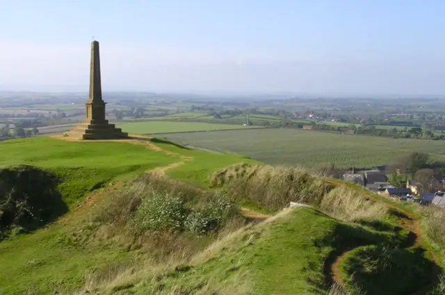
Ilminster · Photo: Roger Cornfoot

Set in South Somerset, the walks around Ilminster combine a small town centre with nearby green spaces and a touch of local history.

These walks are fairly varied, moving between quiet woodland, old transport routes, and the streets around the historic church.

The shorter walk stays closer to the town and Herne Hill woodland, while the longer route reaches further out, following parts of the former Taunton to Chard railway before looping back.

Both walks pass the Church of St Mary, with plenty of places in Ilminster for a stop along the way or at the end.

Download the Somerset Walks App to follow these routes with real-time GPS navigation.

Download on the App Store Get it on Google Play

Walk information

Ilminster Walk 1

Walk distance
2½ miles
Time
1 hour
Route type
Circular

Our first Ilminster route is a short walk that mixes town history with a touch of woodland.

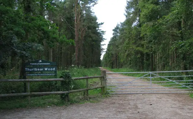
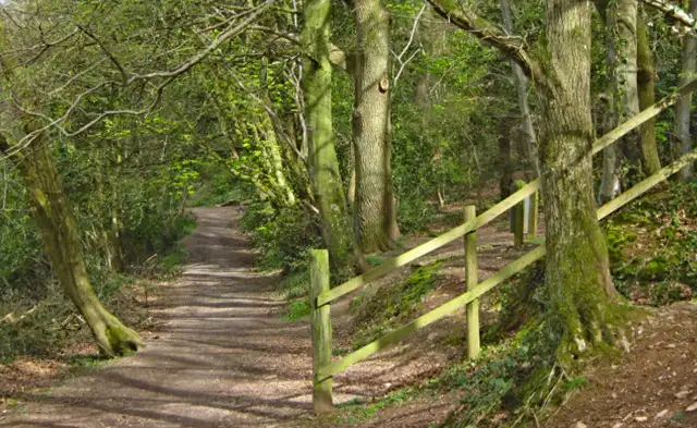
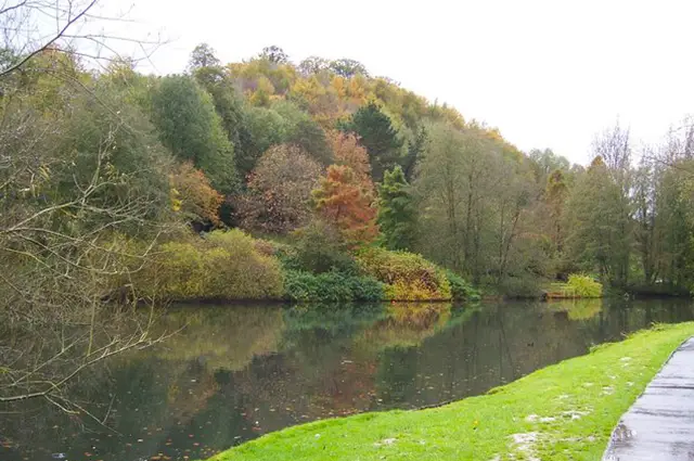
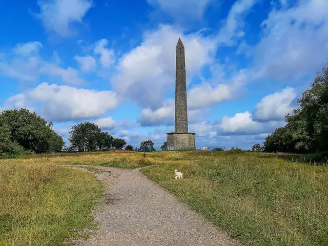
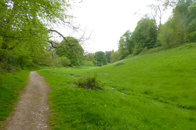
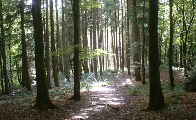
A climb up Herne Hill provides a peaceful green corner just outside the centre - a 25-acre woodland given to the town in 1931 and later designated a Local Nature Reserve.

Back in Ilminster, the impressive Church of St Mary - often called “The Minster” - stands at the heart of the town. There are plenty of options for refreshments in town.

Ilminster Walk 1 No ratings yet Be the first - rate this walk in the Somerset Walks App

Walk information

Ilminster Walk 2

Walk distance
3¾ miles
Time
2 hours
Route type
Circular

This second, longer Ilminster walk stretches a little further into the surrounding area and also includes a few steeper sections along the way.

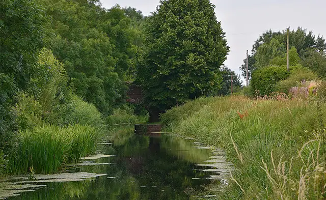
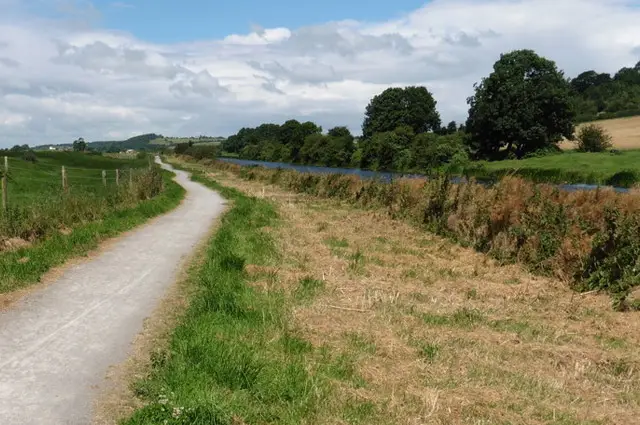
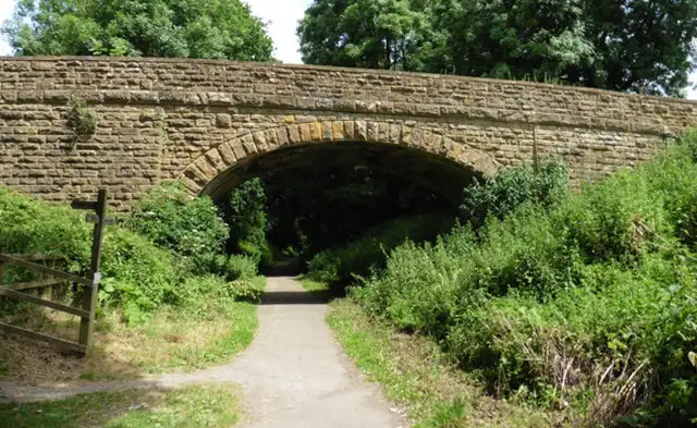
The route follows traces of the old Taunton to Chard railway and also explores Herne Hill, a 25-acre woodland given to the town in 1931.

Back in town, the historic Church of St Mary adds extra interest and a wander around the town provides lots of options for shops and refreshments.

Ilminster Walk 2 No ratings yet Be the first - rate this walk in the Somerset Walks App

Navigate the walks

Somerset Walks App

Follow the Ilminster walks with GPS guidance

It's like sat-nav, but for footpaths.

Choose a walk and follow the pointer showing your live position on the route map, so you always know you're on the right path.

The app works without a phone signal, so you can keep following the route wherever the walk takes you.

Download the app

Download on the App Store Get it on Google Play
Somerset Walks app showing the walker's live position on a route map

Designed to be simple

  • Choose a walk and follow the pointer
  • See your live position on the route map
  • Works without a phone signal
  • Includes 250 Somerset walks
  • Free one-month trial
  • Available for iPhone and Android

Explore the area

Nearby walks

Explore the county

Somerset walks map

Map data © OpenStreetMap contributors

Search Somerset walks

See where the walks start, explore the area and tap a pin to find a route for your next adventure.

Search Somerset walks
Expanded route map for Ilminster Walk 1, a 2.5 mile circular walk in Somerset