
At a glance
Creech St Michael Walk
- Distance
- 4.75 miles
- Estimated time
- 2.5 hours
- Route type
- Circular
- GPS app guided
- Yes
- Parking
- Free parking at start 51.02475, -3.03514
- Characteristics
- Water
Somerset Walks
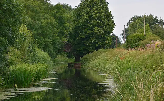
Set in the Somerset Levels, this walk from Creech St Michael follows a quiet landscape shaped by waterways and flat farmland.
It includes sections along the Bridgwater and Taunton Canal and the River Tone, both offering a calm and easy-going route.
Download the Somerset Walks App to follow this route with real-time GPS navigation.


At a glance
The walk
This walk from Creech St Michael follows the calm, water-shaped landscape on the edge of the Somerset Levels.
The Bridgwater and Taunton Canal brings a peaceful, tree-lined stretch to the route, a restored waterway first opened in 1827 and now valued for both recreation and wildlife.
The route also follows the River Tone as it winds gently through low-lying farmland, reflecting the slow-moving character of this part of Somerset.
Navigate the walks
The easiest way to follow this route is with the Somerset Walks app. Choose the walk and follow the pointer showing your live position on the route map, so you can see you're on the right path.
The app works without a phone signal, so you can keep following the route wherever the walk takes you.

Explore the area
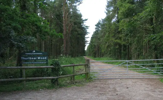 1.25 miles
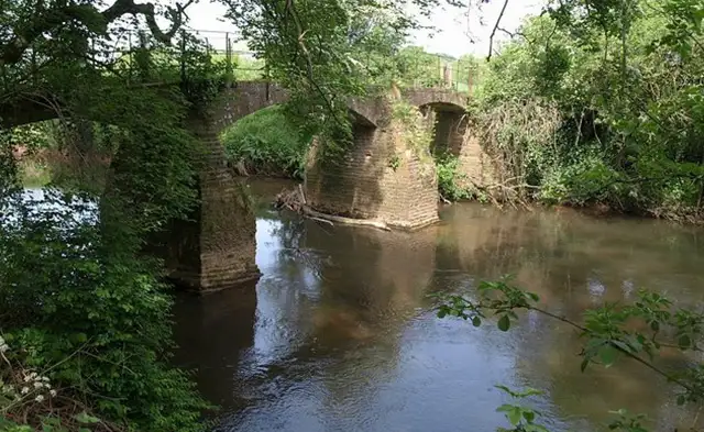 0.75-1.75 miles
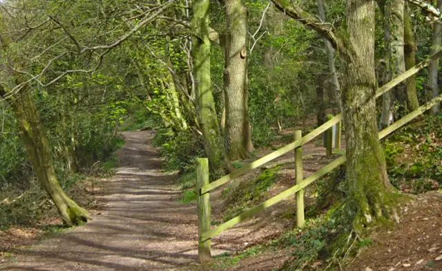 1.5-5.25 miles
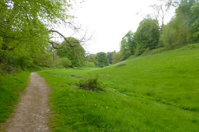 1.25 miles
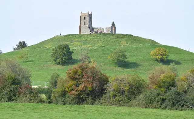 0.5 miles
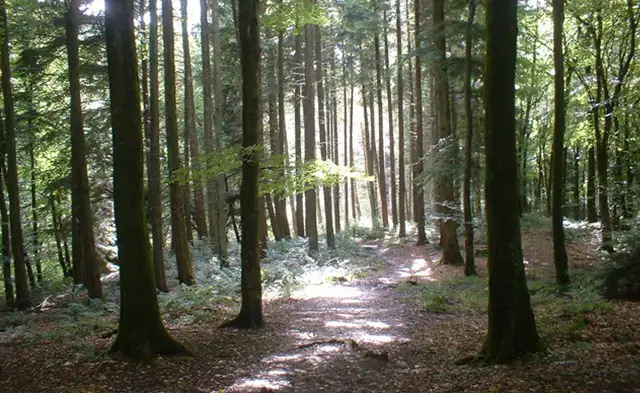 1-4 miles
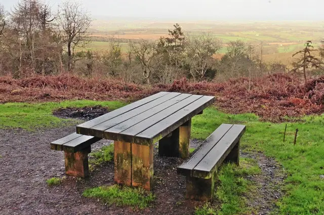 0.75-2.5 miles
 1.25-4 miles
 2.25 miles
 1.75 miles
 1.75-3.75 miles
 2.5-3.75 miles
 2.5-4 miles
 4.75 miles
 2.75-5.25 miles
Explore the county
See where the walks start, explore the area and tap a pin to find a route for your next adventure.
Search Somerset walks