
At a glance
Lowdwells Lock Walk
- Distance
- 4.5 miles
- Estimated time
- 2.5 hours
- Route type
- Circular
- GPS app guided
- Yes
- Parking
- Free parking at start 50.96878, -3.32012
- Characteristics
- Water, Pub
Somerset Walks
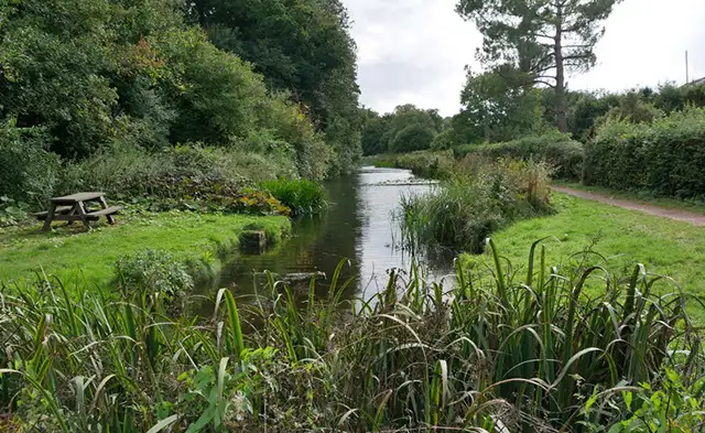
Set in the Somerset countryside, this walk explores the area around Lowdwells Lock and sections of the Grand Western Canal.
It combines waterside paths with more open ground, including a stretch near Westleigh Quarry and the option of a stop at the Prince of Wales Inn.
Download the Somerset Walks App to follow this route with real-time GPS navigation.


At a glance
The walk
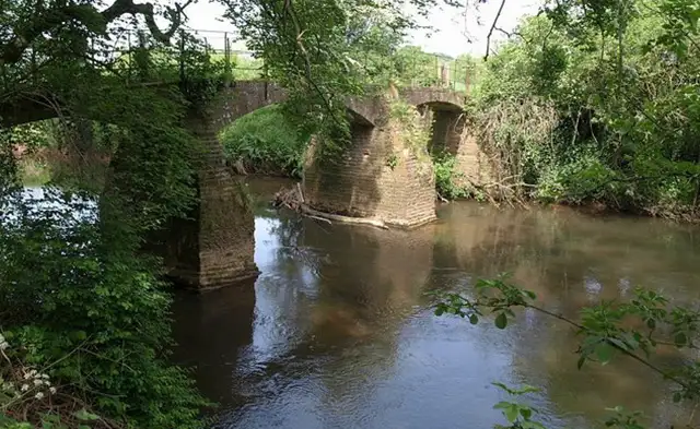
This walk explores the countryside around Lowdwells Lock and follows sections of the Grand Western Canal.
The route then explores a more open landscape, where Westleigh Quarry adds a contrasting, rugged edge.
The route includes an option to stop at a local pub along the way.
Refreshments:
The Prince of Wales Inn, Holcombe Rogus
Based on 1 user rating
A very popular walk
Very dog friendly
Clear and easy
Hard going with a buggy
Very limited access
No facilities
Take a packed lunch
Reported inaccurate
Real feedback from people who have completed this walk using the Somerset Walks app.
First-hand experiences
The pub on the route appears to have shut down so there is no pub or cafe on the route anymore.
Comments from walkers who have completed the Lowdwells Lock walk.
Time for a stop
Navigate the walks
The easiest way to follow this route is with the Somerset Walks app. Choose the walk and follow the pointer showing your live position on the route map, so you can see you're on the right path.
The app works without a phone signal, so you can keep following the route wherever the walk takes you.

Explore the area
 0.75-2 miles
 3.75 miles
 1.75 miles
 3 miles
 2.25-5.25 miles
 5 miles
 1.5-6.25 miles
 0.75-1.75 miles
 1.25 miles
 2.75-9.5 miles
 3.5-6.25 miles
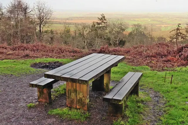 0.75-2.5 miles
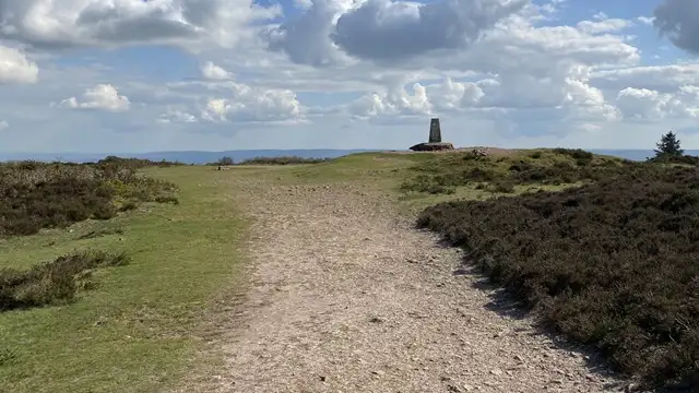 1.75-3.75 miles
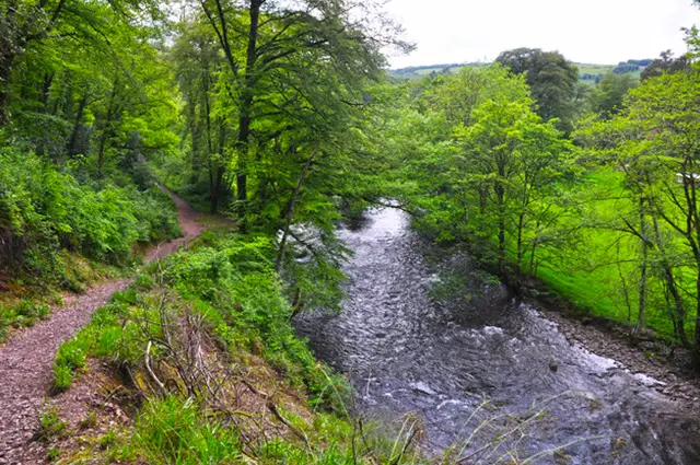 3.25 miles
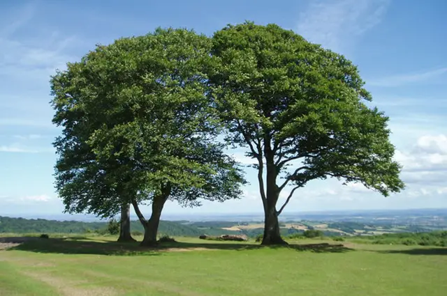 2.25 miles
Explore the county
See where the walks start, explore the area and tap a pin to find a route for your next adventure.
Search Somerset walks