
At a glance
Port Meadow Walk
- Distance
- 4.5 miles
- Estimated time
- 2 hours
- Route type
- Circular
- GPS app guided
- Yes
- Parking
- Port Meadow South Car Park 51.76227, -1.27393
- Characteristics
- Water, Countryside, Town
Oxfordshire Walks

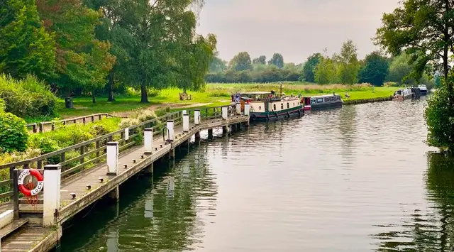
This walk is a gentle, family-friendly circular route north of Oxford around the wide open spaces of Port Meadow and along the River Thames.
A mid-walk detour into Wolvercote offers the chance to pause at a welcoming village pub before returning across the meadow.
Download the Oxfordshire Walks App to follow this route with real-time GPS navigation.


At a glance
The walk
This lovely stroll north of Oxford is a family-friendly circular walk along the River Thames and around Port Meadow.
The route takes a little detour out of the meadow half way around to visit the lovely pub in Wolvercote if you need refreshments as part of your day out.
Based on 4 user ratings
A very popular walk
Dog heaven
Reasonable paths
Possible with care
Partly accessible
Some facilities
Quite good
Accurate
Real feedback from people who have completed this walk using the Oxfordshire Walks app.
First-hand experiences
Area on way back is almost inaccessible due to recent rain ...Be very cateful . I had water up around my calfs
Love going here. Wonderful exposure to nature and the cows/horses whilst so close to the city!
Comments from walkers who have completed the Port Meadow walk.
Navigate the walks
The easiest way to follow this route is with the Oxfordshire Walks app. Choose the walk and follow the pointer showing your live position on the route map, so you can see you're on the right path.
The app works without a phone signal, so you can keep following the route wherever the walk takes you.

Explore the area
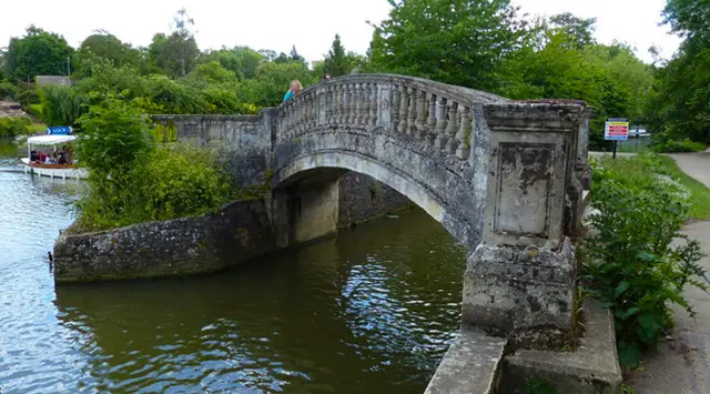 2.5 miles
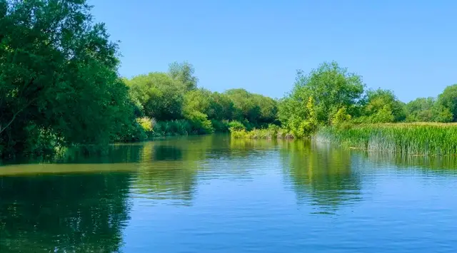 4 miles
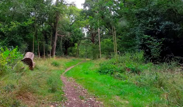 3.5 miles
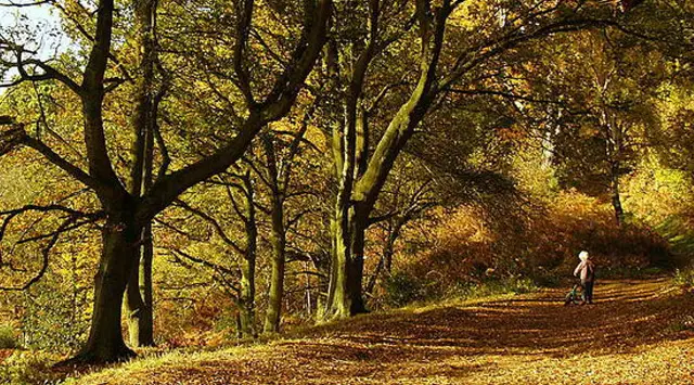 3.5 miles
 3.75 miles
 4.25 miles
 2-3.75 miles
 10.75 miles
 1.5-4.25 miles
 0.5-3 miles
 4.5 miles
 5.75-7.25 miles
 3.75-5.5 miles
 4.25 miles
 1.75 miles
Explore the county
See where the walks start, explore the area and tap a pin to find a route for your next adventure.
Search Oxfordshire walks