
At a glance
Islip Walk
- Distance
- 10.75 miles
- Estimated time
- 5.5 hours
- Route type
- Circular
- GPS app guided
- Yes
- Parking
- Islip Railway Car Park 51.82566, -1.23771
- Characteristics
- Hills, Water, Countryside
Oxfordshire Walks
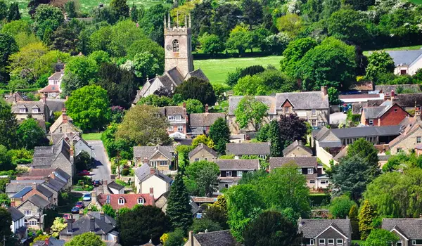
This walk from Islip explores a quiet corner of countryside north of Oxford, taking in fields, rivers, woodland, and a climb over one hill.
A highlight is the vast RSPB Otmoor reserve, a rich wetland area known for its birdlife, alongside visits to nearby villages and historic churches.
Download the Oxfordshire Walks App to follow this route with real-time GPS navigation.


At a glance
The walk
This is a long walk with one hill to climb and it takes in a quiet area of pleasant rolling countryside north of Oxford, with rivers, fields, woods and a major wetland nature reserve, RSPB Otmoor.
The reserve is extremely popular with birdwatchers and spans 1,000 acres of diverse wildlife and marshland. The reserve is managed by the RSPB and is the wintering ground for thousands of wildfowl and waders.
The walk also visits some attractive villages and a couple of old churches with interesting features. There is a small amount of country road walking.
Refreshments can be had at The Abingdon Arms in the village of Beckley.
Based on 1 user rating
A very popular walk
Very dog friendly
Generally well maintained
Not suitable for pushchairs
Not wheelchair accessible
No facilities
Take a packed lunch
Spot on
Real feedback from people who have completed this walk using the Oxfordshire Walks app.
First-hand experiences
Very muddy and heavy going a lot of the route
Comments from walkers who have completed the Islip walk.
Navigate the walks
The easiest way to follow this route is with the Oxfordshire Walks app. Choose the walk and follow the pointer showing your live position on the route map, so you can see you're on the right path.
The app works without a phone signal, so you can keep following the route wherever the walk takes you.

Explore the area
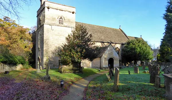 4.25 miles
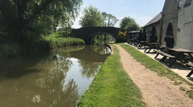 1.5-4.25 miles
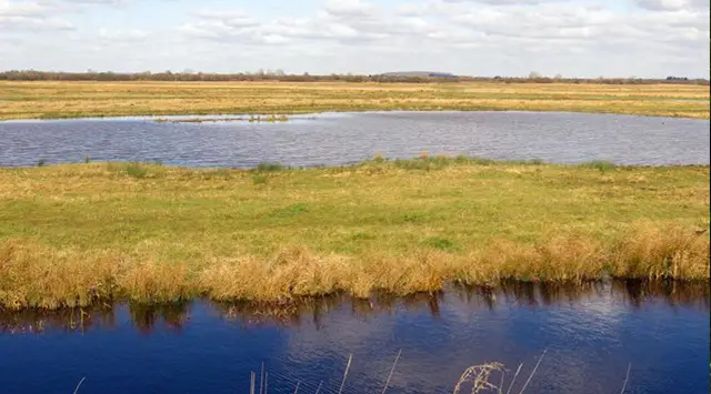 5.75-7.25 miles
 2-3.75 miles
 0.5-6.75 miles
 4.5 miles
 6-6.5 miles
 3.5 miles
 2.5 miles
 4.25 miles
 4 miles
 4.5 miles
 3.5-6 miles
 3.5-10.5 miles
 1-2.75 miles
Explore the county
See where the walks start, explore the area and tap a pin to find a route for your next adventure.
Search Oxfordshire walks