

Kent Walks

West Hythe Walks & Route Maps

West Hythe walk, Kent
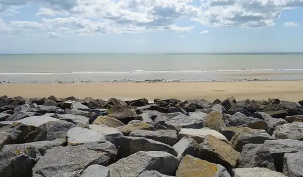
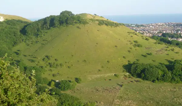
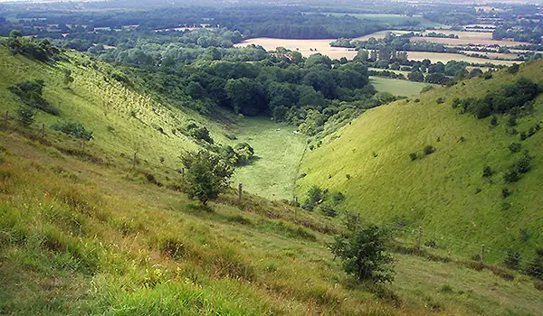
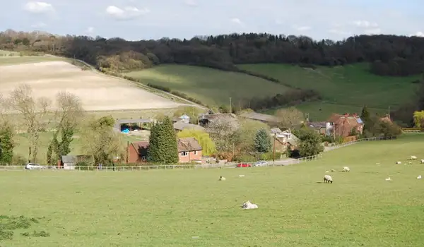
West Hythe · Photo: Marathon

These walks around West Hythe combine history, countryside, and a touch of adventure.

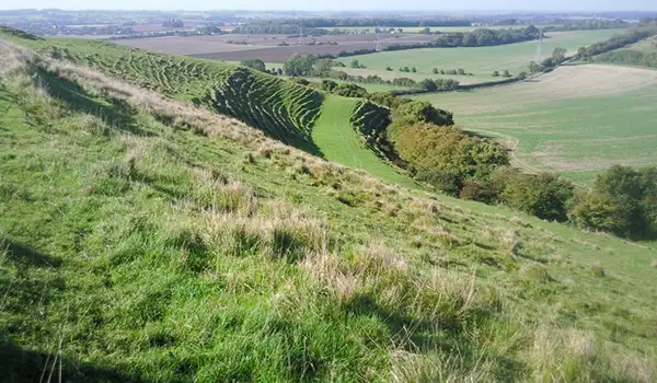
The shorter route includes a steady climb up to Lympne Castle, a striking medieval fortress perched above Romney Marsh. Its towers and battlements offer panoramic views and a sense of centuries of history.

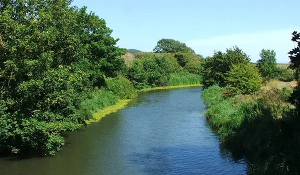
The path then descends to the Royal Military Canal, a 19th-century defence line that now winds peacefully through the marsh, with tree-lined banks and open water providing a gentle contrast to the earlier climb.

It’s a compact route that blends challenge, wildlife, and heritage in a satisfying mix.

The longer walk follows the same highlights but adds extra distance along both sides of the canal, giving more time to enjoy the quiet waters, wildlife, and open marshland.

With its combination of hilltop views, historic architecture, and peaceful riverside paths, these walks offer a full experience of West Hythe’s distinctive landscape.

Download the Kent Walks App to follow these routes with real-time GPS navigation.

Download on the App Store Get it on Google Play

Walk information

West Hythe Walk 1

Walk distance
2¾ miles
Time
1.5 hours
Route type
Circular

This short but lively route combines a steep climb with wide-reaching views and a slice of local history.

The path rises up to Lympne Castle, a striking medieval fortress perched on the ridge above Romney Marsh.

From here, the walk drops back towards the Royal Military Canal, a 19th-century defence line.

West Hythe Walk 1 No ratings yet Be the first - rate this walk in the Kent Walks App

Walk information

West Hythe Walk 2

Walk distance
5 miles
Time
2.5 hours
Route type
Circular

This longer loop includes two of the best sights in West Hythe.

A steady climb leads up to Lympne Castle, a medieval stronghold perched above Romney Marsh.

From there, the route drops back to the Royal Military Canal, a 19th-century defence line where tree-lined banks and open water create a gentler, quieter contrast to the earlier hill.

West Hythe Walk 2 No ratings yet Be the first - rate this walk in the Kent Walks App

Navigate the walks

Kent Walks App

Follow the West Hythe walks with GPS guidance

It's like sat-nav, but for footpaths.

Choose a walk and follow the pointer showing your live position on the route map, so you always know you're on the right path.

The app works without a phone signal, so you can keep following the route wherever the walk takes you.

Download the app

Download on the App Store Get it on Google Play
Kent Walks app showing the walker's live position on a route map

Designed to be simple

  • Choose a walk and follow the pointer
  • See your live position on the route map
  • Works without a phone signal
  • Includes 150 Kent walks
  • Free one-month trial
  • Available for iPhone and Android

Explore the area

Nearby walks

Explore the county

Kent walks map

Map data © OpenStreetMap contributors

Search Kent walks

See where the walks start, explore the area and tap a pin to find a route for your next adventure.

Search Kent walks
Expanded route map for West Hythe Walk 1, a 2.75 mile circular walk in Kent