

Kent Walks

Dymchurch Walks & Route Maps

Dymchurch walk, Kent
Dymchurch · Photo: JThomas

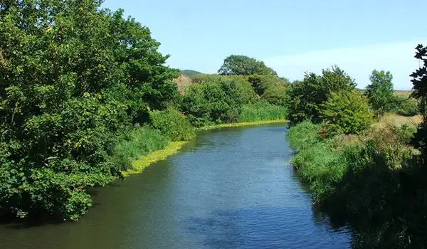
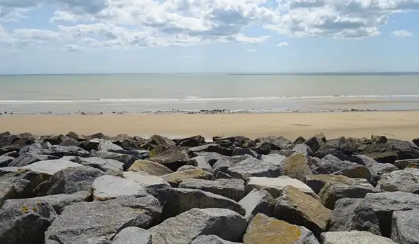
These walks explore the coastline around Dymchurch on Romney Marsh, where long, open horizons and historic sea defences meet the ever-changing light of the English Channel.

Both routes follow sections of the King Charles III England Coast Path, with the shorter walk heading towards Dymchurch Redoubt and the longer walk continuing south past Romney Sands Station and on towards the distinctive shingle landscape of Dungeness, finishing near the station before returning the same way.

Download the Kent Walks App to follow these routes with real-time GPS navigation.

Download on the App Store Get it on Google Play

Walk information

Dymchurch Walk 1

Walk distance
5¾ miles
Time
3 hours
Route type
Circular

This first Dymchurch walk follows an open stretch of the King Charles III England Coast Path, where sea and sky meet across the flat landscape of Romney Marsh.

It's a linear 'there and back walk' so you can do as much or little as you like, and the route takes in the area’s historic sea defences, with broad views over the Channel and the shifting light of the coast.

Further along, it reaches Dymchurch Redoubt - an early 19th-century fortress once guarding against invasion from Napoleon’s France.

Dymchurch Walk 1 No ratings yet Be the first - rate this walk in the Kent Walks App

Walk information

Dymchurch Walk 2

Walk distance
9 miles
Time
4.5 hours
Route type
Circular

This much longer Dymchurch route is also a linear walk so you can do as much or little as you like.

This route heads south instead and follows part of the King Charles III England Coast Path across Romney Marsh, tracing open seascapes and wide skies.

The path leads past Romney Sands Station, where miniature steam trains from the Romney, Hythe & Dymchurch Railway glide along the shoreline.

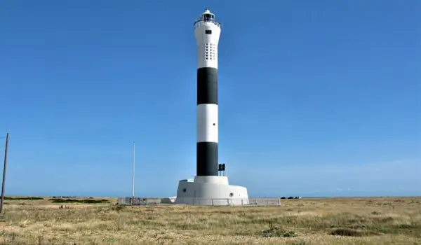
Further on, the landscape grows wilder towards Dungeness, with its shingle headland and distinctive black-and-white lighthouse marking the coast’s edge.

The walk finishes at Dungeness Station before returning the same way - a linear, there-and-back route that combines sea air, history, and the quiet drama of one of Kent’s most remarkable coastal settings. There are pubs and cafes in Dymchurch.

To add to the adventure, there is also the option to catch the old style train back on the Romney Hythe and Dymchurch railway.

Please check online to make sure this is running before setting off.

Dymchurch Walk 2 No ratings yet Be the first - rate this walk in the Kent Walks App

Navigate the walks

Kent Walks App

Follow the Dymchurch walks with GPS guidance

It's like sat-nav, but for footpaths.

Choose a walk and follow the pointer showing your live position on the route map, so you always know you're on the right path.

The app works without a phone signal, so you can keep following the route wherever the walk takes you.

Download the app

Download on the App Store Get it on Google Play
Kent Walks app showing the walker's live position on a route map

Designed to be simple

  • Choose a walk and follow the pointer
  • See your live position on the route map
  • Works without a phone signal
  • Includes 150 Kent walks
  • Free one-month trial
  • Available for iPhone and Android

Explore the area

Nearby walks

Explore the county

Kent walks map

Map data © OpenStreetMap contributors

Search Kent walks

See where the walks start, explore the area and tap a pin to find a route for your next adventure.

Search Kent walks
Expanded route map for Dymchurch Walk 1, a 5.75 mile circular walk in Kent