

Kent Walks

Sugarloaf Hill Walks & Route Maps

Sugarloaf Hill walk, Kent
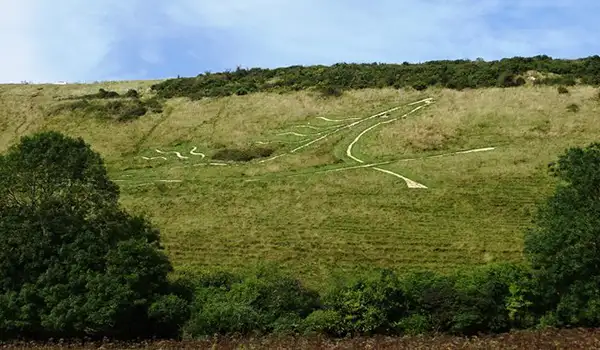
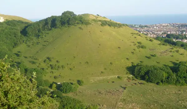
Sugarloaf Hill · Photo: Marathon

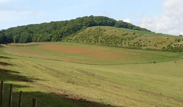
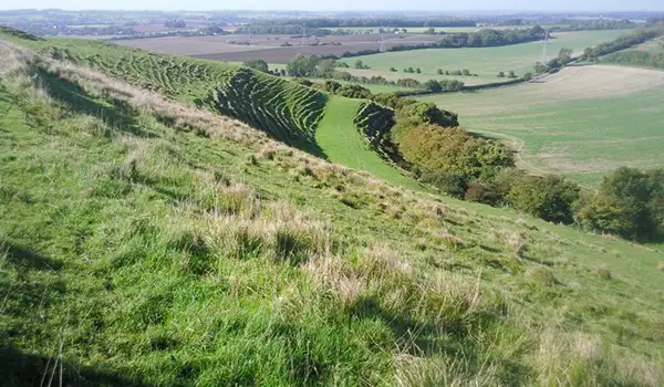
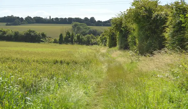
These walks around Sugarloaf Hill in Kent offer a mix of quiet chalk downland, open skies, and rewarding summit views.

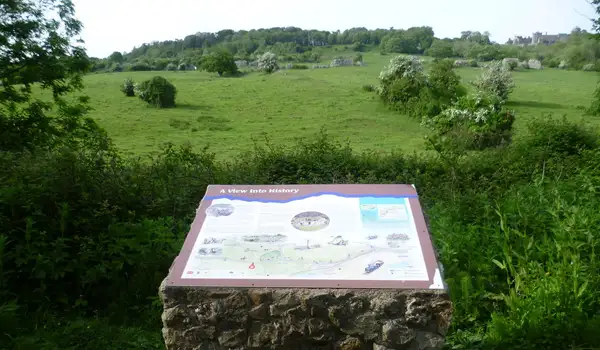
Both routes start near the hidden A20 tunnel under Round Hill, an impressive feat of engineering that leaves the landscape above peaceful and green.

The shorter walk takes you straight to the rounded summit of Sugarloaf Hill, where wide panoramas stretch over Folkestone, the Channel Tunnel, and even France on a clear day.

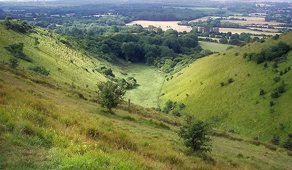
The longer route adds a climb up Castle Hill before reaching Sugarloaf Hill, giving a fuller taste of the Kent Downs, with seasonal chalk grassland flowers and plenty of open space to enjoy along the way.

Download the Kent Walks App to follow these routes with real-time GPS navigation.

Download on the App Store Get it on Google Play

Walk information

Sugarloaf Hill Walk 1

Walk distance
1¾ miles
Time
1 hour
Route type
Circular

This short but strenuous route packs in plenty of interest, starting near the hidden A20 tunnel under Round Hill - an impressive feat of engineering that keeps traffic flowing beneath the chalk ridge while leaving the landscape above quiet and green.

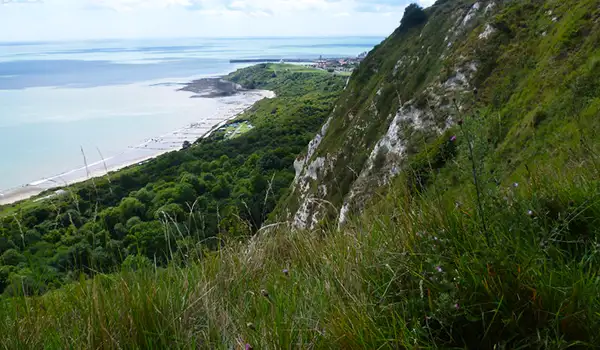
The highlight comes with the climb up Sugarloaf Hill, one of the most distinctive peaks on the Kent Downs. Its rounded summit offers wide views over Folkestone, the Channel Tunnel terminal, and, on clear days, even as far as France.

A great little outing with a mix of open skies, chalk grassland, and a rewarding summit moment.

Sugarloaf Hill Walk 1 No ratings yet Be the first - rate this walk in the Kent Walks App

Walk information

Sugarloaf Hill Walk 2

Walk distance
2¾ miles
Time
1.5 hours
Route type
Circular

This longer and more strenuous route explores more of the Kent Downs, starting above the hidden A20 tunnel where the landscape remains surprisingly quiet and green.

It then climbs Castle Hill, with its open grassland and far-reaching views, before heading on to the rounded summit of Sugarloaf Hill where the panorama stretches over Folkestone and the Channel, with France sometimes visible on clear days.

A slightly longer circuit that rewards with big skies, chalkland flowers in season, and plenty of open space to enjoy along the way.

Sugarloaf Hill Walk 2 No ratings yet Be the first - rate this walk in the Kent Walks App

Navigate the walks

Kent Walks App

Follow the Sugarloaf Hill walks with GPS guidance

It's like sat-nav, but for footpaths.

Choose a walk and follow the pointer showing your live position on the route map, so you always know you're on the right path.

The app works without a phone signal, so you can keep following the route wherever the walk takes you.

Download the app

Download on the App Store Get it on Google Play
Kent Walks app showing the walker's live position on a route map

Designed to be simple

  • Choose a walk and follow the pointer
  • See your live position on the route map
  • Works without a phone signal
  • Includes 150 Kent walks
  • Free one-month trial
  • Available for iPhone and Android

Explore the area

Nearby walks

Explore the county

Kent walks map

Map data © OpenStreetMap contributors

Search Kent walks

See where the walks start, explore the area and tap a pin to find a route for your next adventure.

Search Kent walks
Expanded route map for Sugarloaf Hill Walk 1, a 1.75 mile circular walk in Kent