

Kent Walks

Lyminge Walks & Route Maps

Lyminge walk, Kent
Lyminge · Photo: Marathon

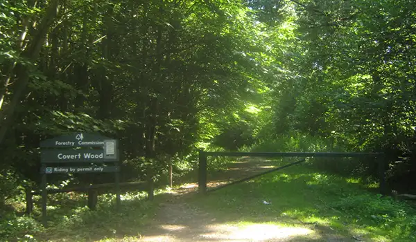
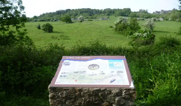
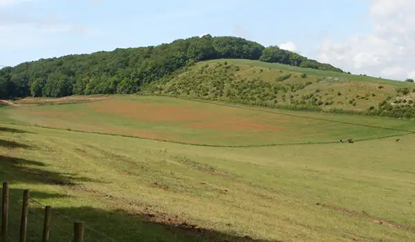
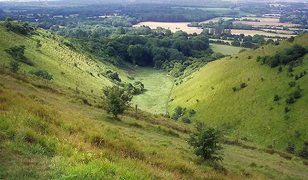
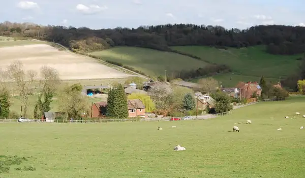
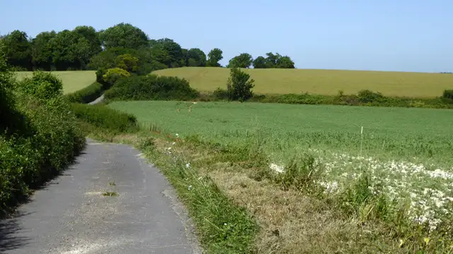
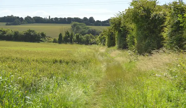
These walks explore some of the quieter corners of the Kent Downs around Lyminge, following a mix of valley paths, rolling farmland, and open chalk ridges.

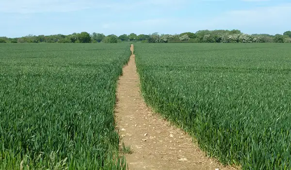
Both routes make use of sections of the Elham Valley Way, where gentle countryside unfolds in a patchwork of fields and hedgerows, before linking with the North Downs Way and its wider views across the landscape.

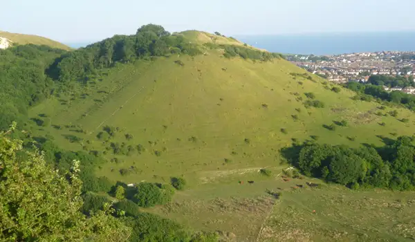
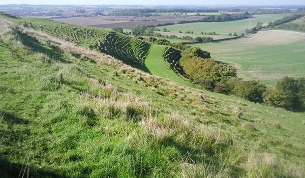
The longer of the walks climbs higher to Farthing Common, a notable viewpoint where the land opens out and you can really appreciate the scale of the surrounding countryside.

Both routes finish at the Coach and Horses, a welcoming village pub that makes a fitting place to pause after a day of exploring this peaceful part of Kent.

Download the Kent Walks App to follow these routes with real-time GPS navigation.

Download on the App Store Get it on Google Play

Walk information

Lyminge Walk 1

Walk distance
4 miles
Time
2 hours
Route type
Circular

This scenic route from Lyminge follows part of the Elham Valley Way, winding through rolling farmland and gentle chalk hills that define the Kent Downs.

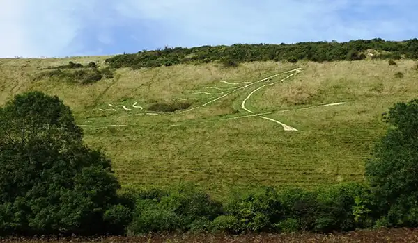
Later, the trail meets the North Downs Way, one of England’s great National Trails, where open ridgelines and quiet woodlands reveal centuries of history beneath your feet.

The walk finishes at the Coach and Horses, a local pub and place to rest after exploring this timeless slice of the Kent countryside.

Lyminge Walk 1 No ratings yet Be the first - rate this walk in the Kent Walks App

Walk information

Lyminge Walk 2

Walk distance
6½ miles
Time
3.5 hours
Route type
Circular

This longer Lyminge route also follows the Elham Valley Way and North Downs Way, linking two of Kent’s most scenic trails into one walk.

Rolling farmland and chalk grassland give way to woodland paths and wide open ridges, offering a real taste of the Kent Downs landscape.

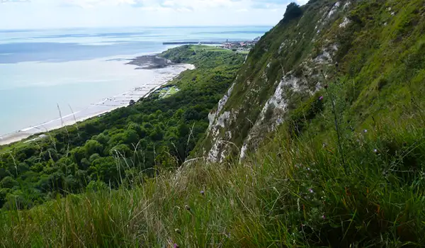
A highlight comes at Farthing Common, one of the area’s high points, where sweeping views stretch across the valley and, on clear days, towards the Channel.

The walk ends back at the Coach and Horses, a local pub where well-earned refreshments round off this satisfying countryside adventure.

Lyminge Walk 2 5.0 Ratings and reviews 1 rating · 1 review

Based on 1 user rating

Community feedback

Overall rating5.0

An outstanding walk

Dog friendly5.0 / 5
Path condition5.0 / 5
Buggy friendly1.0 / 5
Wheelchair friendly1.0 / 5
Toilet facilities1.0 / 5
Pub or café1.0 / 5
Route accuracy5.0 / 5
ClimbingPlenty of climbing
LivestockLivestock likely
StilesSeveral stiles
Mud levelMay be muddy after wet weather

Real feedback from people who have completed this walk using the Kent Walks app.

First-hand experiences

User reviews

Walker review

Fabulous walk with stunning views out across Romney Marsh, the English Channel. We could even make out Dungeness. A good level of fitness required for the hills

Navigate the walks

Kent Walks App

Follow the Lyminge walks with GPS guidance

It's like sat-nav, but for footpaths.

Choose a walk and follow the pointer showing your live position on the route map, so you always know you're on the right path.

The app works without a phone signal, so you can keep following the route wherever the walk takes you.

Download the app

Download on the App Store Get it on Google Play
Kent Walks app showing the walker's live position on a route map

Designed to be simple

  • Choose a walk and follow the pointer
  • See your live position on the route map
  • Works without a phone signal
  • Includes 150 Kent walks
  • Free one-month trial
  • Available for iPhone and Android

Explore the area

Nearby walks

Explore the county

Kent walks map

Map data © OpenStreetMap contributors

Search Kent walks

See where the walks start, explore the area and tap a pin to find a route for your next adventure.

Search Kent walks
Expanded route map for Lyminge Walk 1, a 4 mile circular walk in Kent