

Kent Walks

Folkestone White Horse Walks & Route Maps

Folkestone White Horse walk, Kent
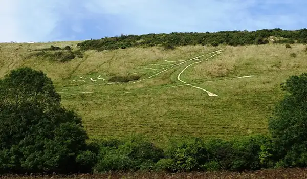
Folkestone White Horse · Photo: Matthew Chadwick

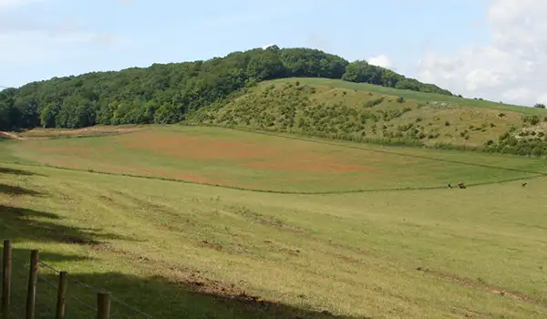
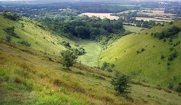
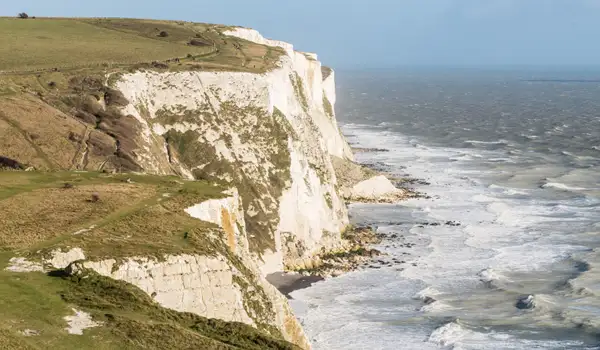
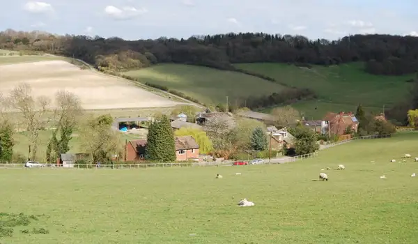
These walks explore the North Downs above Folkestone in Kent, where sweeping chalk hills and open countryside lead towards one of the area’s most distinctive modern landmarks.

Both routes visit the Folkestone White Horse on Cheriton Hill, with the shorter walk following a simple out-and-back path along the North Downs Way, while the longer route combines sections of the North Downs Way and Elham Valley Way for a broader circuit with wide views and glimpses of the Channel Tunnel Terminal along the way.

Download the Kent Walks App to follow these routes with real-time GPS navigation.

Download on the App Store Get it on Google Play

Walk information

Folkestone White Horse Walk 1

Walk distance
1¼ miles
Time
30 mins
Route type
Circular

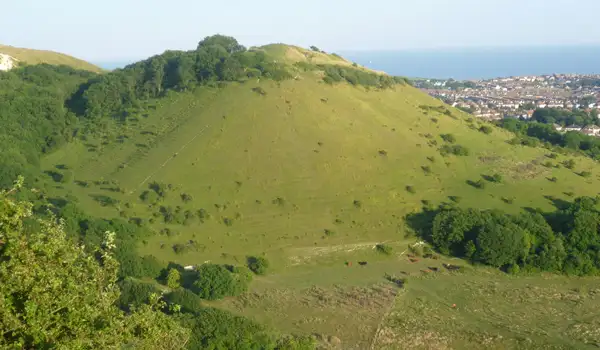
This short Folkestone White Horse walk is a there-and-back stroll that follows a peaceful stretch of the North Downs Way, with open chalk grassland and sweeping views across the Kent countryside.

The highlight is the impressive Folkestone White Horse, a striking hillside figure carved into Cheriton Hill in 2003.

Folkestone White Horse Walk 1 No ratings yet Be the first - rate this walk in the Kent Walks App

Walk information

Folkestone White Horse Walk 2

Walk distance
5¾ miles
Time
3 hours
Route type
Circular

This longer and much more energetic Folkestone White Horse route explores the dramatic edge of the Kent Downs, combining sweeping scenery with a sense of history and scale.

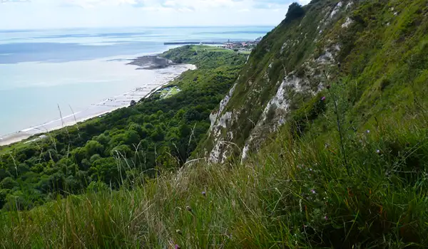
It follows parts of both the North Downs Way and Elham Valley Way, offering open chalk hillsides, wooded slopes, and wide views towards the Channel coast.

Along the way, views over the modern engineering of the Channel Tunnel Terminal contrasts with the ancient landscape that surrounds it.

The walk’s highlight is the Folkestone White Horse, a striking chalk figure cut into Cheriton Hill - a contemporary landmark linking Kent’s deep past with its ever-evolving present.

Folkestone White Horse Walk 2 No ratings yet Be the first - rate this walk in the Kent Walks App

Navigate the walks

Kent Walks App

Follow the Folkestone White Horse walks with GPS guidance

It's like sat-nav, but for footpaths.

Choose a walk and follow the pointer showing your live position on the route map, so you always know you're on the right path.

The app works without a phone signal, so you can keep following the route wherever the walk takes you.

Download the app

Download on the App Store Get it on Google Play
Kent Walks app showing the walker's live position on a route map

Designed to be simple

  • Choose a walk and follow the pointer
  • See your live position on the route map
  • Works without a phone signal
  • Includes 150 Kent walks
  • Free one-month trial
  • Available for iPhone and Android

Explore the area

Nearby walks

Explore the county

Kent walks map

Map data © OpenStreetMap contributors

Search Kent walks

See where the walks start, explore the area and tap a pin to find a route for your next adventure.

Search Kent walks
Expanded route map for Folkestone White Horse Walk 1, a 1.25 mile circular walk in Kent