

Gloucestershire Walks

Newent Walks and Route Maps

Timber-framed Market House in the centre of Newent, Gloucestershire, with the town's streets around it
Newent · Photo: Jonathan Billinger

Newent is a small market town in the west of Gloucestershire, with roots that go back to the Normans. Benedictine monks from Normandy were established here by about 1080, and the town appears in Domesday. Later the Foley family, notable ironmasters, held the manor and made use of the local woodland to fuel their furnace. Today Newent has more than 100 listed buildings, independent traders and some long-standing pubs.

The Newent walk is a short, gentle circuit that begins in the centre of town. It takes in the timber-framed Market House, dating from 1668, and passes St Mary's Church, with its tall spire that can be seen from a long way off. From there the route heads out to Newent Lake and the brooks beside it, and follows the line of the old Gloucester & Ledbury Railway, which closed to all traffic in 1964.

With almost no climbing, plenty of cafes and pubs close to the route and a good mix of town history and waterside scenery, it suits a relaxed visit to this part of Gloucestershire. May Hill and Three Choirs Vineyard are both nearby if you want to make a day of the area.

Download the Gloucestershire Walks App to follow this route with real-time GPS navigation.

Download on the App Store Get it on Google Play

On a computer? Scan the QR code with your phone's camera to get the Gloucestershire Walks app.

Newent walk 01

Newent Town and Lake Walk

Walk distance
1 mile
Time
30 mins
Route type
Circular

A short, level stroll around the old market town of Newent, starting in the centre among timber-framed and brick buildings. Market House, built in 1668 and still the focal point of the town, stands in the square, with several historic pubs and cafes close by. A little further on you pass St Mary's Church, whose spire can be seen from miles around.

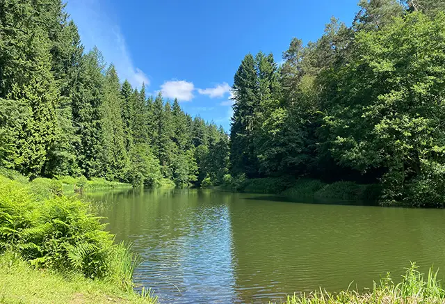
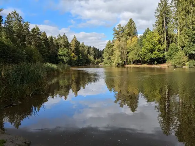
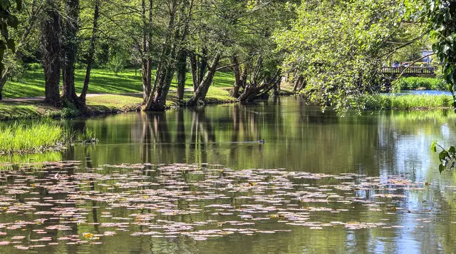
Beyond the church the route heads out to Newent Lake and follows Peacock Brook, then runs along the line of the abandoned Gloucester & Ledbury Railway before reaching Ell Brook. Some of the route is under trees and alongside the water, which gives a lovely natural contrast to the town. There is hardly any climbing, which makes it an easy outing with plenty to look at.

Newent Town and Lake Walk View and rate this walk in the Gloucestershire Walks App

Navigate the walks

Gloucestershire Walks App

Follow the Newent walk with GPS guidance

It's like sat-nav, but for footpaths.

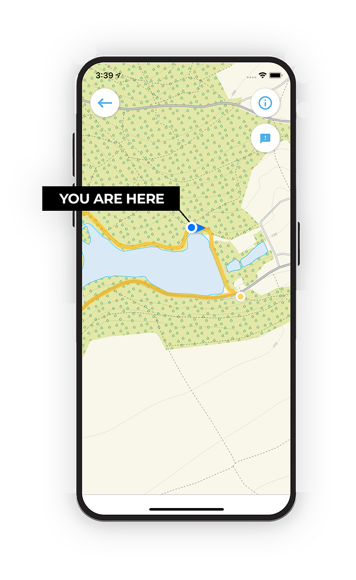
Choose a walk and follow the pointer showing your live position on the route map, so you always know you're on the right path.

The app works without a phone signal, so you can keep following the route wherever the walk takes you.

Download the app

Download on the App Store Get it on Google Play

On a computer? Scan the QR code with your phone's camera to get the Gloucestershire Walks app.

Gloucestershire Walks app showing the walker's live position on a route map

Designed to be simple

  • Choose a walk and follow the pointer
  • See your live position on the route map
  • Works without a phone signal
  • Includes 200 Gloucestershire walks
  • Free one-month trial
  • Available for iPhone and Android

Explore the area

Nearby walks

Explore the county

Gloucestershire walks map

Map data © OpenStreetMap contributors

Search Gloucestershire walks

See where the walks start, explore the area and tap a pin to find a route for your next adventure.

Search Gloucestershire walks
Expanded route map for Newent Town and Lake Walk, a 1 mile circular walk in Gloucestershire