

Gloucestershire Walks

Rudford Walk and Route Map

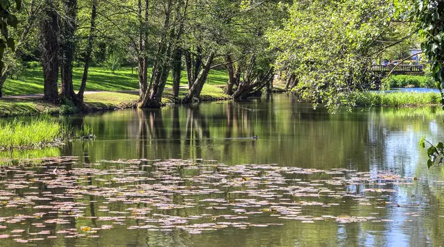
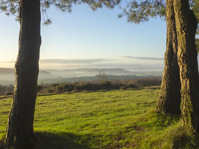
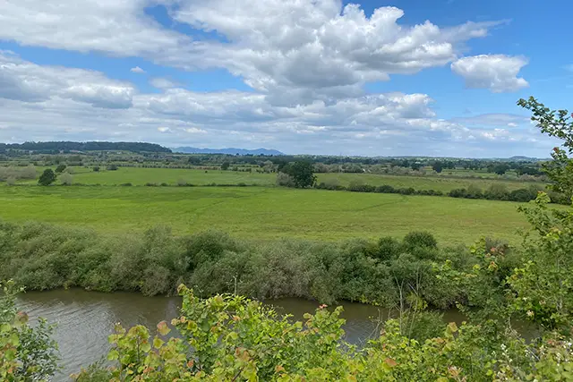
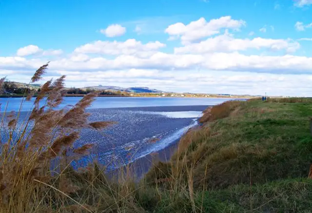
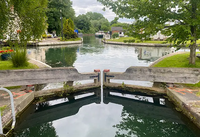
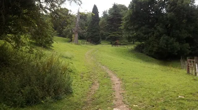
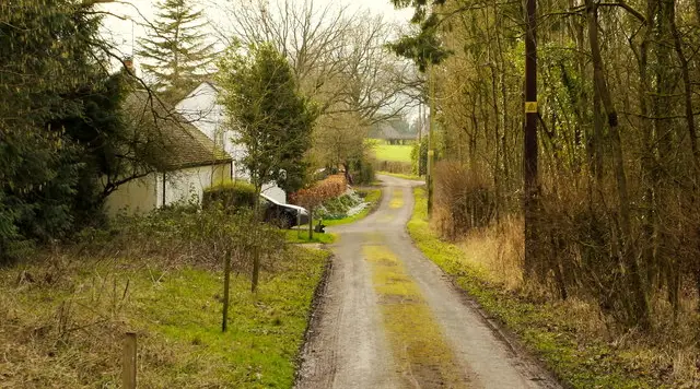
Flat Gloucestershire farmland near Rudford with hedgerows, fields and woodland under a wide sky
Rudford · Photo: Jonathan Billinger

Rudford is an ancient Gloucestershire parish on the River Leadon, about four miles north-west of Gloucester, and it appears in Domesday Book. The parish includes the hamlet of High Leadon and Barbers Bridge, where a railway station once stood. This is gentle Severn Vale countryside, and the walk here makes a good short outing for anyone who prefers flat ground.

The circular route is just under five miles and stays almost level throughout. It follows quiet lanes and farmland, meets the line of the old Gloucester and Ledbury Railway twice, and passes through several woods. The best known is Highnam Woods, an RSPB reserve of ancient woodland that is famous for its nightingales and for spring flowers such as bluebells and wood anemones. Pinchfield Wood and Demesne Wood add more tree cover along the way.

The walk also takes in the village of Tibberton and the countryside around the hamlets of Bulley and Woodgreen. The Dark Barn at Barbers Bridge, which has a gastropub, is close to the route near the finish. With so little climbing, it is an easy choice for a relaxed morning or afternoon, and spring is a particularly good time to come for the woods.

Download the Gloucestershire Walks App to follow this route with real-time GPS navigation.

Download on the App Store Get it on Google Play

On a computer? Scan the QR code with your phone's camera to get the Gloucestershire Walks app.

Rudford walk 01

Rudford Circular Walk

Walk distance
4¾ miles
Time
2.5 hours
Route type
Circular

A flat circuit through quiet Severn Vale farmland and lanes north-west of Gloucester, with its main interest in the woods half way around the walk.

Early on, the route meets the line of the old Gloucester and Ledbury Railway, then passes Pinchfield Wood and Highnam Woods. Highnam is an RSPB reserve of ancient woodland, bought in 1987 mainly for its nightingales, and in spring it has bluebells, wood anemones and cuckoo flowers.

Demesne Wood follows, with the countryside around Bulley and Woodgreen close by. The route then returns through lanes to Tibberton, a small village with its own church, before joining Bovone Lane and meeting the old railway line a second time near the finish.

There is hardly any climbing, so it suits a relaxed morning or afternoon, and it's mainly through farmland and woodland, so appropriate footwear might be required after wet weather.
Rudford Circular Walk View and rate this walk in the Gloucestershire Walks App

Navigate the walks

Gloucestershire Walks App

Follow the Rudford walk with GPS guidance

It's like sat-nav, but for footpaths.

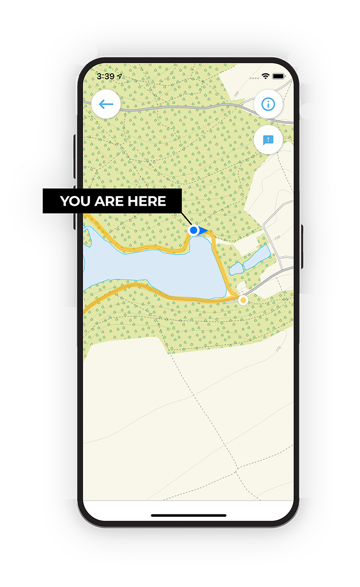
Choose a walk and follow the pointer showing your live position on the route map, so you always know you're on the right path.

The app works without a phone signal, so you can keep following the route wherever the walk takes you.

Download the app

Download on the App Store Get it on Google Play

On a computer? Scan the QR code with your phone's camera to get the Gloucestershire Walks app.

Gloucestershire Walks app showing the walker's live position on a route map

Designed to be simple

  • Choose a walk and follow the pointer
  • See your live position on the route map
  • Works without a phone signal
  • Includes 200 Gloucestershire walks
  • Free one-month trial
  • Available for iPhone and Android

Explore the area

Nearby walks

Explore the county

Gloucestershire walks map

Map data © OpenStreetMap contributors

Search Gloucestershire walks

See where the walks start, explore the area and tap a pin to find a route for your next adventure.

Search Gloucestershire walks
Expanded route map for Rudford Circular Walk, a 4.75 mile circular walk in Gloucestershire