

Gloucestershire Walks

Blaisdon Walks and Route Maps

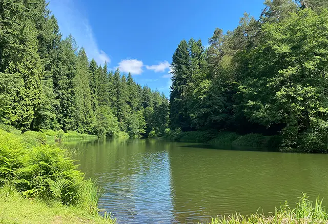
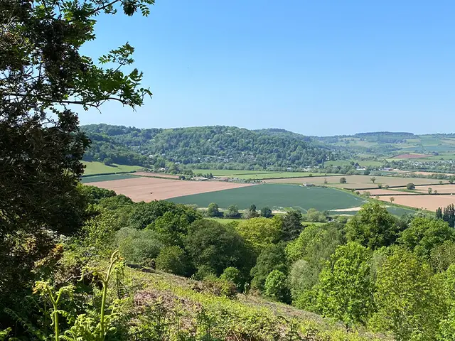
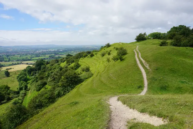
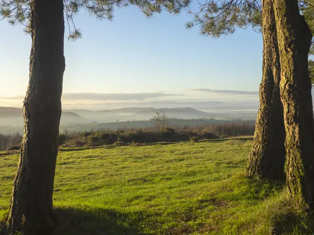
Wooded hillside above the village of Blaisdon in the Forest of Dean, Gloucestershire
Blaisdon · Photo: Philip Halling

Blaisdon is a small village and civil parish in the Forest of Dean district of Gloucestershire, about ten miles west of Gloucester. It is a quiet, rural place, and around a third of the parish is woodland, mostly on the spur of high ground rising above the village.

The Blaisdon walk is a short circuit that starts beside the parish church of St Michael and All Angels, with its fifteenth century tower, and heads up into Blaisdon Wood. A steady climb at the beginning is followed by a good stretch among the trees, before the route drops back towards the village. It suits a short outing of an hour or so.

Blaisdon is also known for the Blaisdon Red plum, a jam-making variety developed here in the late nineteenth century and still celebrated for its deep colour. Up on the hill above the village stands Blaisdon Hall, a Victorian mansion that is now private but is a notable landmark in the local scenery.

Download the Gloucestershire Walks App to follow this route with real-time GPS navigation.

Download on the App Store Get it on Google Play

On a computer? Scan the QR code with your phone's camera to get the Gloucestershire Walks app.

Blaisdon walk 01

Blaisdon Woodland Walk

Walk distance
1¾ miles
Time
1 hour
Route type
Circular

A short woodland loop from the small Forest of Dean village of Blaisdon, setting off beside the parish church of St Michael and All Angels. The church has a fifteenth century tower and a Victorian rebuild in red Forest stone, and it is well worth a look before or after you walk.

The walk climbs steadily at the start onto the spur of high ground above the village, then spends much of its length in and around Blaisdon Wood, which brings welcome shade. It passes the outlying Little Blakemore Farm at a distance before curving back down to the village.

Blaisdon is known for the Blaisdon Red plum, a jam-making variety first recorded here in the 1890s, so it is a pleasant place to be in late summer when the plums ripen.
Blaisdon Woodland Walk View and rate this walk in the Gloucestershire Walks App

Navigate the walks

Gloucestershire Walks App

Follow the Blaisdon walk with GPS guidance

It's like sat-nav, but for footpaths.

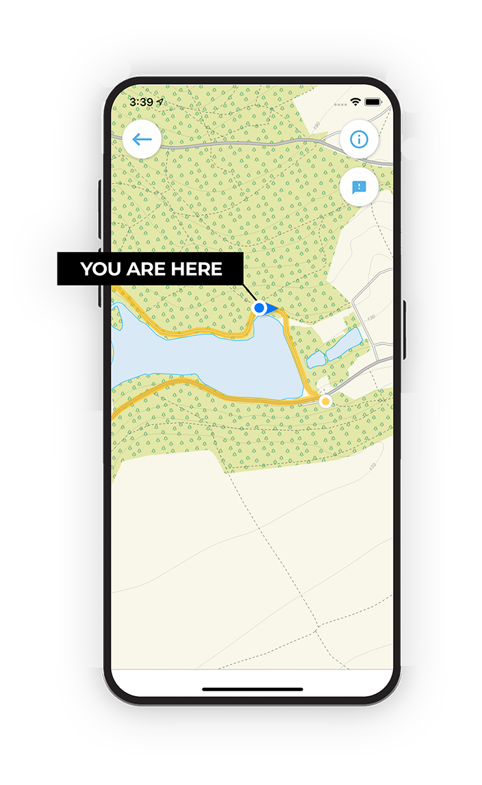
Choose a walk and follow the pointer showing your live position on the route map, so you always know you're on the right path.

The app works without a phone signal, so you can keep following the route wherever the walk takes you.

Download the app

Download on the App Store Get it on Google Play

On a computer? Scan the QR code with your phone's camera to get the Gloucestershire Walks app.

Gloucestershire Walks app showing the walker's live position on a route map

Designed to be simple

  • Choose a walk and follow the pointer
  • See your live position on the route map
  • Works without a phone signal
  • Includes 200 Gloucestershire walks
  • Free one-month trial
  • Available for iPhone and Android

Explore the area

Nearby walks

Explore the county

Gloucestershire walks map

Map data © OpenStreetMap contributors

Search Gloucestershire walks

See where the walks start, explore the area and tap a pin to find a route for your next adventure.

Search Gloucestershire walks
Expanded route map for Blaisdon Woodland Walk, a 1.75 mile circular walk in Gloucestershire