

Derbyshire Walks

Loscoe Dam Walks & Route Maps

Loscoe Dam walk, Derbyshire
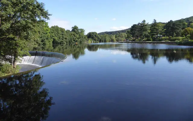
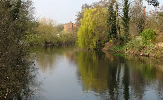
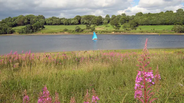
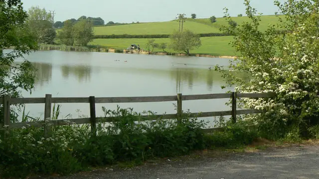
Loscoe Dam · Photo: Alan Murray-Rust

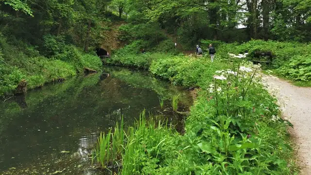
Centered around the peaceful waters of Loscoe Dam, these walks offer everything from a gentle lakeside loop to a full day exploring the surrounding countryside.

The shortest option is an easy stroll with tree-lined paths and quiet lanes, while the longer of the walks venture out through the Red River Local Nature Reserve and across open farmland.

The most extensive route stretches towards Langley Mill, follows a scenic section of the Erewash Canal, and even includes a wander through Shipley Country Park before finishing in Heanor.

Whether you’re after a short leg-stretch or a varied countryside adventure, these walks showcase this corner of Derbyshire beautifully.

Download the Derbyshire Walks App to follow these routes with real-time GPS navigation.

Download on the App Store Get it on Google Play

Walk information

Loscoe Dam Walk 1

Walk distance
1 mile
Time
30 mins
Route type
Circular

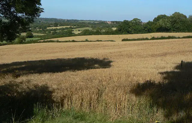
This is a nice short stroll from the Loscoe Dam lake.

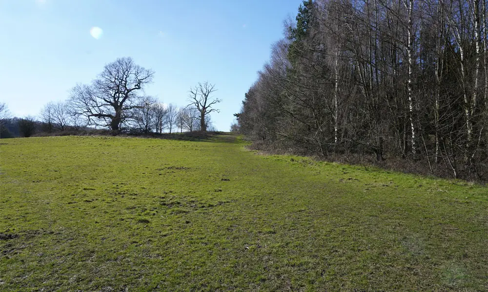
You'll walk along a tree-lined path for a while before heading up a quiet country lane and then cutting back and walking down the hill towards the lake at Loscoe Dam.

Loscoe Dam Walk 1 No ratings yet Be the first - rate this walk in the Derbyshire Walks App

Walk information

Loscoe Dam Walk 2

Walk distance
3 miles
Time
1.5 hours
Route type
Circular

This second route is a longer walk that like the first route, enjoys the lake at Loscoe Dam.
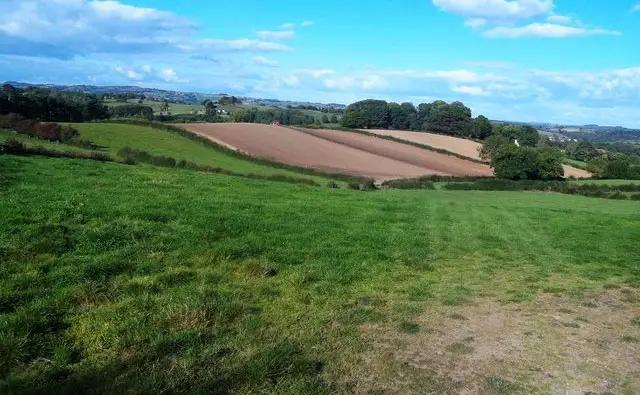
After that you'll enjoy a stroll through the Red River local nature reserve, then a stretch of walking through open countryside and finally a stroll along the Loscoe High Street itself where you'll find a number of pubs for refreshments.

Loscoe Dam Walk 2 3.0 Ratings and reviews 3 ratings · 3 reviews

Based on 3 user ratings

Community feedback

Overall rating3.0

Mixed feedback from walkers

Dog friendly3.3 / 5
Path condition2.3 / 5
Buggy friendly1.7 / 5
Wheelchair friendly1.7 / 5
Toilet facilities1.7 / 5
Pub or café1.7 / 5
Route accuracy4.7 / 5
ClimbingGentle slopes
LivestockNo livestock
StilesA few stiles on route
Mud levelMay be muddy after wet weather

Real feedback from people who have completed this walk using the Derbyshire Walks app.

First-hand experiences

User reviews

Walker review

Fairly easy walk mostly in countryside, with some nice views. Unfortunately the last off road half mile, which follows a very narrow pathway, was extremely over grown with brambles, nettles and tall thistles.

Walker review

Very muddy and slippy, i wouldn’t bother going unless its summer. Good length route. Lots of different terrains, it challenged ny body and burnt some calories!

Walker review

Sewn together from different types of walks. Not particularly enjoyable.

Walk information

Loscoe Dam Walk 3

Walk distance
9 miles
Time
4.5 hours
Route type
Circular

If you really want to stretch your legs and explore this area of Derbyshire, this third route is basically an epic and varied adventure.

You'll enjoy the lake at Loscoe Dam before embarking on a long countryside ramble towards Langley Mill. After that, you'll stroll alongside the Erewash Canal for a while before cutting across some more open countryside towards Shipley Country Park where you'll enjoy a pretty section of walking.

Finally, you'll walk though the town of Heanor where you'll find a number of pubs and eateries for refreshments.

Loscoe Dam Walk 3 4.0 Ratings and reviews 1 rating

Based on 1 user rating

Community feedback

Overall rating4.0

A very popular walk

Dog friendly5.0 / 5
Path condition4.0 / 5
Buggy friendly3.0 / 5
Wheelchair friendly1.0 / 5
Toilet facilities1.0 / 5
Pub or café3.0 / 5
Route accuracy1.0 / 5
ClimbingSome climbing
LivestockNo livestock
StilesA stile or two
Mud levelMostly dry

Real feedback from people who have completed this walk using the Derbyshire Walks app.

Navigate the walks

Derbyshire Walks App

Follow the Loscoe Dam walks with GPS guidance

It's like sat-nav, but for footpaths.

Choose a walk and follow the pointer showing your live position on the route map, so you always know you're on the right path.

The app works without a phone signal, so you can keep following the route wherever the walk takes you.

Download the app

Download on the App Store Get it on Google Play
Derbyshire Walks app showing the walker's live position on a route map

Designed to be simple

  • Choose a walk and follow the pointer
  • See your live position on the route map
  • Works without a phone signal
  • Includes 250 Derbyshire walks
  • Free one-month trial
  • Available for iPhone and Android

Explore the area

Nearby walks

Explore the county

Derbyshire walks map

Map data © OpenStreetMap contributors

Search Derbyshire walks

See where the walks start, explore the area and tap a pin to find a route for your next adventure.

Search Derbyshire walks
Expanded route map for Loscoe Dam Walk 1, a 1 mile circular walk in Derbyshire