
At a glance
Muggington Circular Walk
- Distance
- 5.25 miles
- Estimated time
- 2.5 hours
- Route type
- Circular
- GPS app guided
- Yes
- Parking
- Pub Car Park (Ask permission) 52.99206, -1.57434
- Characteristics
- Hills, Countryside, Pub
- Ascent
- 150 m
Derbyshire Walks
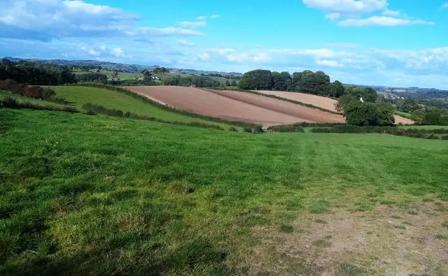
Set in the peaceful Derbyshire countryside, this gentle Muggington walk offers a wonderfully relaxing route through rolling farmland and two charming villages. It’s an easy-going adventure with just a few short climbs, mostly following quiet footpaths and country lanes. Along the way, take a moment to explore All Saints Church in Muggington, with its Saxon window, historic Kniveton Chapel tomb, and the impressive ancient yew tree in the churchyard. With lovely rural views throughout and the welcoming Cock Inn nearby for refreshments, this walk is a perfect way to enjoy a calm and scenic slice of Derbyshire.
Download the Derbyshire Walks App to follow this route with real-time GPS navigation.


At a glance
The walk
A lovely easy going walk travelling around some pleasant countryside mainly on footpaths over undulating farmland visiting the villages of Muggington ad Western Underwood.
Take time to visit the All Saints church at Muggington which dates from Saxon times. Look out for and the old Saxon window and the alter-tomb in the Kniveton Chapel tomb. Also don't miss the magnificent very old yew tree in the church yard.
There are a couple of quite short climbs and some small sections on quiet country roads. Beware of some traffic around Western Underwood. Enjoy refreshments at the Cock Inn.
Based on 6 user ratings
A very popular walk
Very dog friendly
Reasonable paths
Hard going with a buggy
Partly accessible
No facilities
Not much on route
Mostly accurate
Real feedback from people who have completed this walk using the Derbyshire Walks app.
First-hand experiences
A group of us did this walk and we did enjoy it. It was very muddy abd wet, to be expected for this time of year. Stunning houses in Muggington to admire. A few farms to walk through, one was particularly very unpleasant in smell. a couple of times we ended up off route, so keep an eye on the map and for the public footpath. Quite a few stiles and gates to go through. The cock Inn pub was lovely at the end for a pint and chips.
It should be mentioned in the information about the war memorial for the crew of a 1944 Armstrong Whitworth A.W.38 which crashed into the field. This was a very interesting find.
Lovely walk with nice views of skylarks, yellowhammer and swallows. There were cattle in a field near Weston under Needwood, but these were easiy circumvented by walking along nearby Green Lane. However, a ram in the field after Muggington church meant we had to cut short the walk a little, and walk up Church Lane to the finish.
Some nice views but very overgrown especially in the wooded areas. Lots of cows and some sheep.
Comments from walkers who have completed the Muggington walk.
Time for a stop
Navigate the walks
The easiest way to follow this route is with the Derbyshire Walks app. Choose the walk and follow the pointer showing your live position on the route map, so you can see you're on the right path.
The app works without a phone signal, so you can keep following the route wherever the walk takes you.

Explore the area
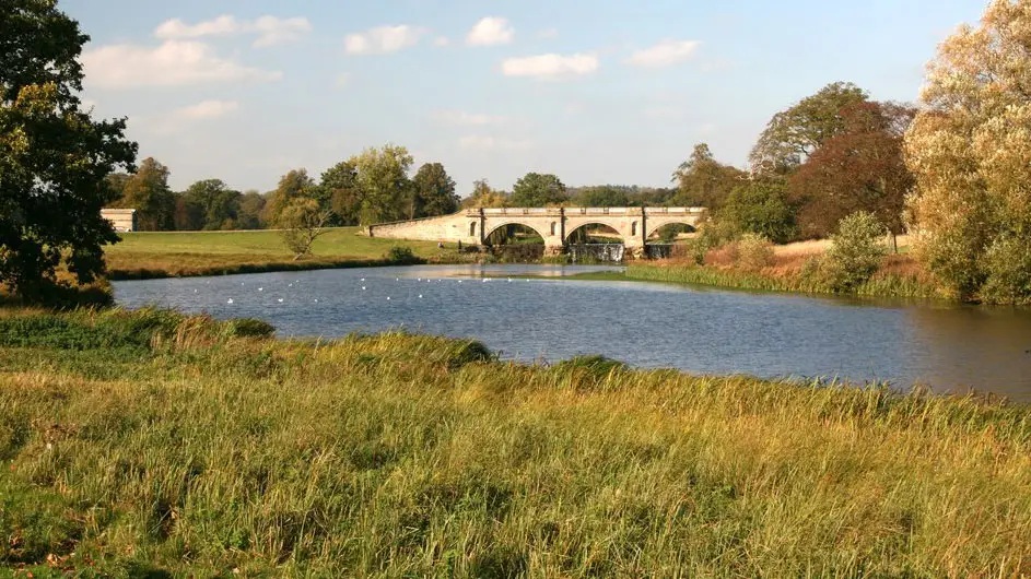 3.5 miles
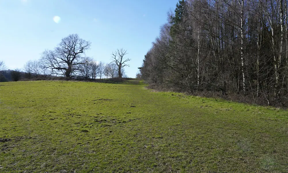 2.75-5.5 miles
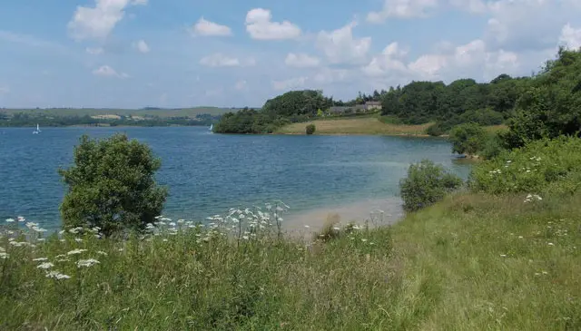 3.5-4.25 miles
 5.75 miles
 1.25-4 miles
 3.5-8.5 miles
 3-5.5 miles
 1.5-2.25 miles
 2-5.25 miles
 4.25-8.5 miles
 4.5-8 miles
 1 miles
 3.25-5.25 miles
 2.5-6 miles
 1-2.25 miles
Explore the county
See where the walks start, explore the area and tap a pin to find a route for your next adventure.
Search Derbyshire walks