

Derbyshire Walks

Curbar Edge Walks & Route Maps

Curbar Edge walk, Derbyshire
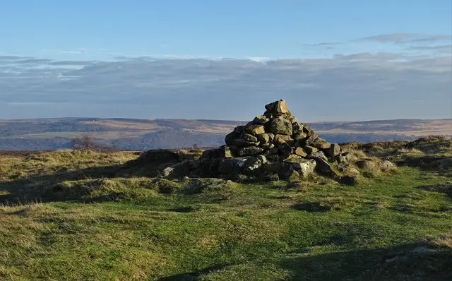
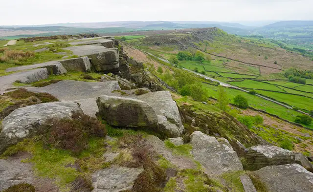
Curbar Edge · Photo: Bill Boaden

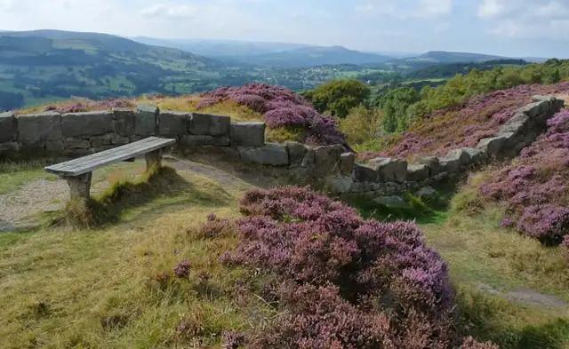
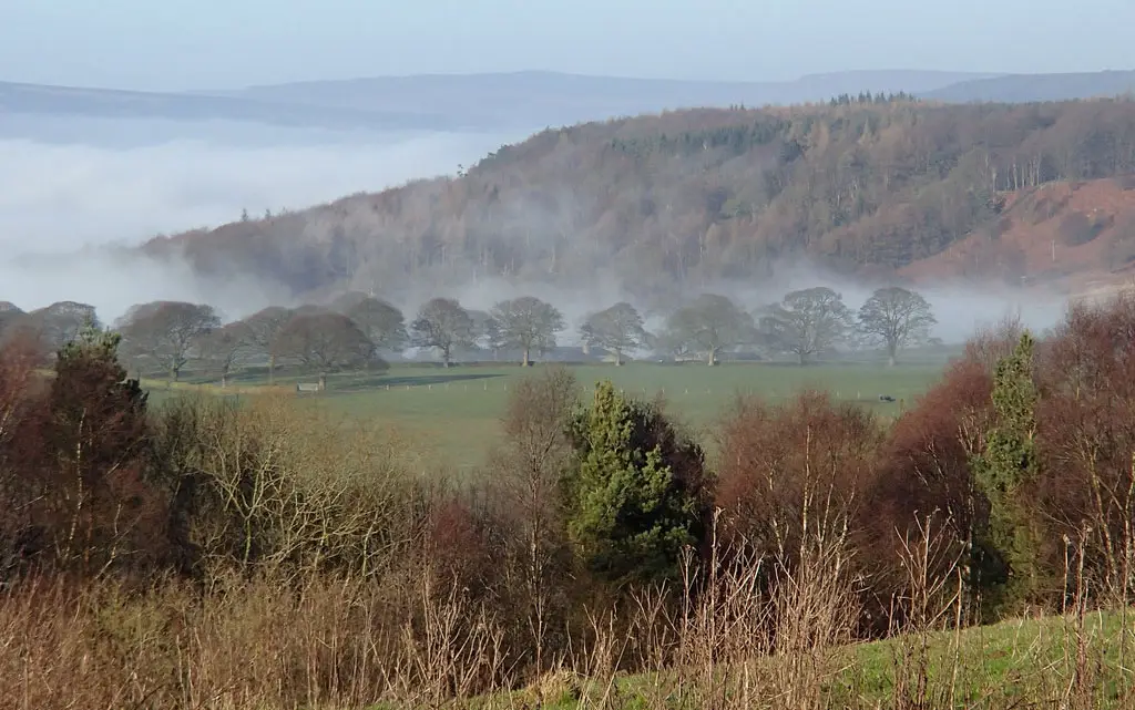
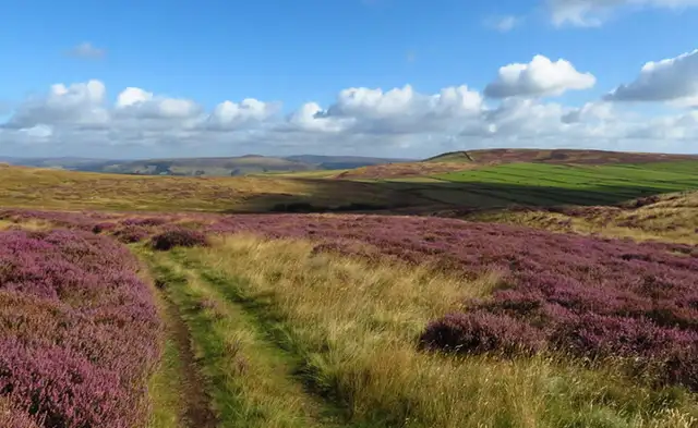
These walks take you across the exposed uplands above the Derwent Valley, where heather moorland, ancient tracks and gritstone edges define this part of the Peak District.

Both routes cross Big Moor before reaching the cliffs of Curbar Edge, while the longer option extends further across the high ground to places such as Car Top and Lady’s Cross, adding more of the area’s open moorland scenery to the walk.

Download the Derbyshire Walks App to follow these routes with real-time GPS navigation.

Download on the App Store Get it on Google Play

Walk information

Curbar Edge Walk 1

Walk distance
2½ miles
Time
1.5 hours
Route type
Circular

This first walk explores the open moorland and dramatic gritstone edges above the Derwent Valley on the eastern side of the Peak District.

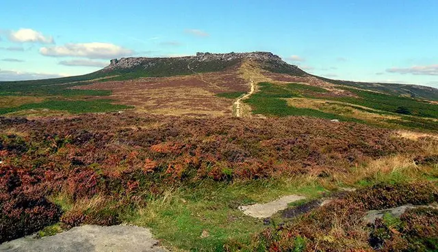
The route also crosses parts of Big Moor, a wide stretch of heather and rough grass that has been crossed by ancient paths for thousands of years.

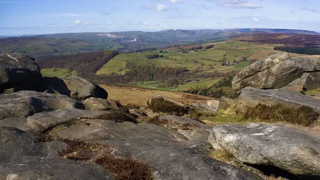
Curbar Edge forms a striking line of cliffs overlooking the valley below. The rocky escarpment is part of a chain of gritstone edges that shape this side of the national park.

Expect hilly ground and rocky terrain in places, with steep drops along the edge, so care is needed while enjoying the wide views across the surrounding countryside.

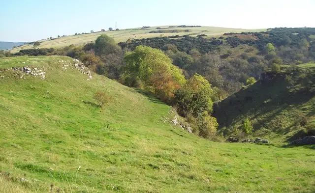
Curbar Edge Walk 1 No ratings yet Be the first - rate this walk in the Derbyshire Walks App

Walk information

Curbar Edge Walk 2

Walk distance
7 miles
Time
3.5 hours
Route type
Circular

If you have more time and energy to explore, this much longer route takes you on an walk around more of the wide moorland around Big Moor on the eastern edge of the Peak District.

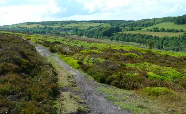
The landscape here is shaped by heather, rough grass, and scattered gritstone, with traces of ancient routes and past land use across the moor.

The route passes the high ground of Car Top and the historic marker of Lady’s Cross before finally reaching the dramatic cliffs of Curbar Edge, offering the highlight of the walk.

With hilly terrain, rocky ground, and steep drops along the escarpment.

Curbar Edge Walk 2 No ratings yet Be the first - rate this walk in the Derbyshire Walks App

Navigate the walks

Derbyshire Walks App

Follow the Curbar Edge walks with GPS guidance

It's like sat-nav, but for footpaths.

Choose a walk and follow the pointer showing your live position on the route map, so you always know you're on the right path.

The app works without a phone signal, so you can keep following the route wherever the walk takes you.

Download the app

Download on the App Store Get it on Google Play
Derbyshire Walks app showing the walker's live position on a route map

Designed to be simple

  • Choose a walk and follow the pointer
  • See your live position on the route map
  • Works without a phone signal
  • Includes 250 Derbyshire walks
  • Free one-month trial
  • Available for iPhone and Android

Explore the area

Nearby walks

Explore the county

Derbyshire walks map

Map data © OpenStreetMap contributors

Search Derbyshire walks

See where the walks start, explore the area and tap a pin to find a route for your next adventure.

Search Derbyshire walks
Expanded route map for Curbar Edge Walk 1, a 2.5 mile circular walk in Derbyshire