

Sussex Walks

Henfield Walks & Route Maps

Henfield walk, Sussex
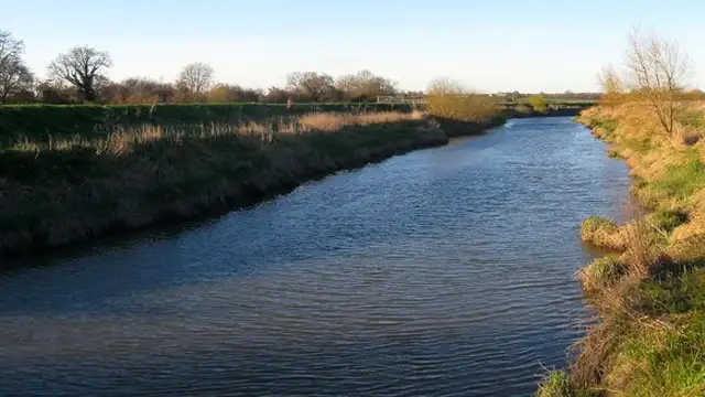
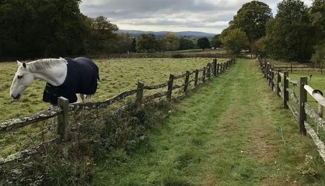
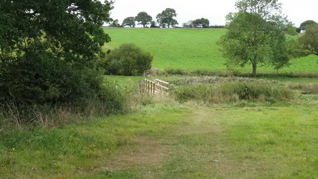
Henfield · Photo: Ian Cunliffe

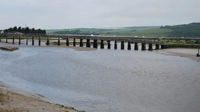
These walks around Henfield offer a peaceful way to explore the River Adur and the surrounding Sussex countryside.

The shorter of these walks is a gentle, family-friendly riverside stroll, following quiet lanes and paths alongside the winding river before returning via the Downs Link track.

The longer route extends this adventure, providing a more extensive riverside walk combined with additional sections of the Downs Link track for those with extra time and energy.

Download the Sussex Walks App to follow these routes with real-time GPS navigation.

Download on the App Store Get it on Google Play

Walk information

Henfield Walk 1

Walk distance
2½ miles
Time
1.5 hours
Route type
Circular

This is a nice, short and flat family-friendly riverside stroll from Henfield.

It starts with a short walk along a quiet lane until you reach the River Adur. The route then takes you on a walk alongside the winding river for a while before meeting up with the Downs Link track to take you back to the start.

Henfield Walk 1 4.0 Ratings and reviews 6 ratings · 3 reviews

Based on 6 user ratings

Community feedback

Overall rating4.0

A very popular walk

Dog friendly2.7 / 5
Path condition3.5 / 5
Buggy friendly1.3 / 5
Wheelchair friendly1.5 / 5
Toilet facilities1.5 / 5
Pub or café0.7 / 5
Route accuracy4.2 / 5
ClimbingGentle slopes
LivestockNo livestock
StilesA few stiles on route
Mud levelMay be muddy after wet weather

Real feedback from people who have completed this walk using the Sussex Walks app.

First-hand experiences

User reviews

Walker review

Lovely walk will definitely go again and walk other paths

Walker review

A great walk with the kids. The clockwise route path to access the river was flooded but you can easily take a shortcut around to join the river slightly further up

Walker review

Good walk, worth pointing out that after you park up the clockwise route entrance is on the left side of the car park through the housing estate. After that jusy before you reach the river the footpath is very narrow.

Walk information

Henfield Walk 2

Walk distance
5¾ miles
Time
3 hours
Route type
Circular

This second route is a similar, but much longer adventure for those of you with more time and energy for your walk.

The walk starts with a stroll north along the Downs Link track, until you meet the river Adur.

Then, you'll enjoy a much longer walk alongside the river until you meet up with the Downs Link track again to the south of Henfield.

Finally, you'll follow the Downs Link trackin back north to the start point.

The area can get very muddy, or even flooded, after wet weather so please be aware of the conditions and take the appropriate footwear.

Henfield Walk 2 3.0 Ratings and reviews 3 ratings · 3 reviews

Based on 3 user ratings

Community feedback

Overall rating3.0

Mixed feedback from walkers

Dog friendly3.3 / 5
Path condition2.3 / 5
Buggy friendly1.3 / 5
Wheelchair friendly1.0 / 5
Toilet facilities1.3 / 5
Pub or café2.7 / 5
Route accuracy5.0 / 5
ClimbingGentle slopes
LivestockSome livestock
StilesSeveral stiles
Mud levelBoots recommended

Real feedback from people who have completed this walk using the Sussex Walks app.

First-hand experiences

User reviews

Walker review

The walk and the scrnery were beautiful but it was completely overgrown half way round. Difficult to turn back at that point. So we were covered in nettle and bramble stings.

Walker review

It was extremely muddy at one stage, it was a good walk along the river

Walker review

Watch out for cyclists along some of the paths.

Navigate the walks

Sussex Walks App

Follow the Henfield walks with GPS guidance

It's like sat-nav, but for footpaths.

Choose a walk and follow the pointer showing your live position on the route map, so you always know you're on the right path.

The app works without a phone signal, so you can keep following the route wherever the walk takes you.

Download the app

Download on the App Store Get it on Google Play
Sussex Walks app showing the walker's live position on a route map

Designed to be simple

  • Choose a walk and follow the pointer
  • See your live position on the route map
  • Works without a phone signal
  • Includes 400 Sussex walks
  • Free one-month trial
  • Available for iPhone and Android

Explore the area

Nearby walks

Explore the county

Sussex walks map

Map data © OpenStreetMap contributors

Search Sussex walks

See where the walks start, explore the area and tap a pin to find a route for your next adventure.

Search Sussex walks
Expanded route map for Henfield Walk 1, a 2.5 mile circular walk in Sussex