

Sussex Walks

Lurgashall Walks & Route Maps

Lurgashall walk, Sussex
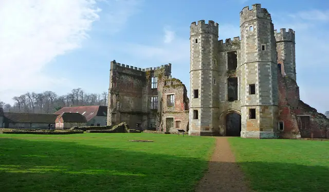
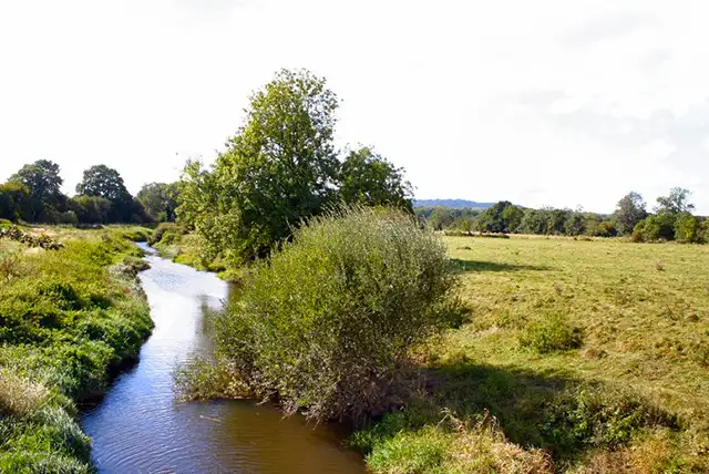
Lurgashall · Photo: Robin Webster

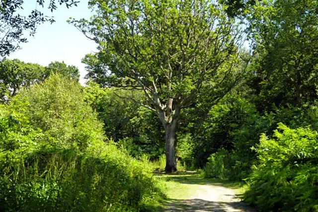
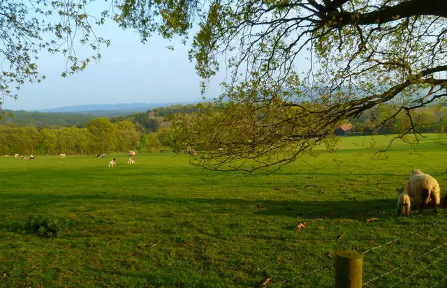
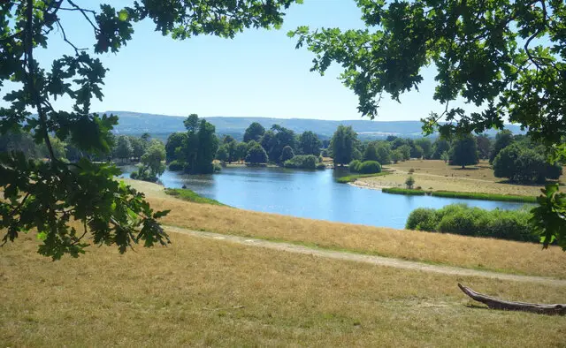
Surrounded by the quiet countryside of Sussex, the walks around Lurgashall offer a gentle introduction to the Low Weald’s farmland and woodland.

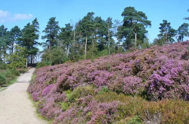
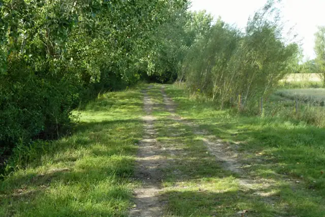
These walks follow a pleasing mix of open ground and shaded paths, making them ideal for an easy, unhurried outing.

The shorter route explores the open stretches of Coochway Ground alongside the shelter of Tanland Copse, while the longer option reaches further into the landscape, adding Bullocks Copse and more rolling countryside.

Both routes return to the village, where The Noah’s Ark provides a welcoming place to pause at the end of your walk.

Download the Sussex Walks App to follow these routes with real-time GPS navigation.

Download on the App Store Get it on Google Play

Walk information

Lurgashall Walk 1

Walk distance
2¾ miles
Time
1.5 hours
Route type
Circular

This short Lurgashall route offers an easy wander through classic Low Weald scenery.

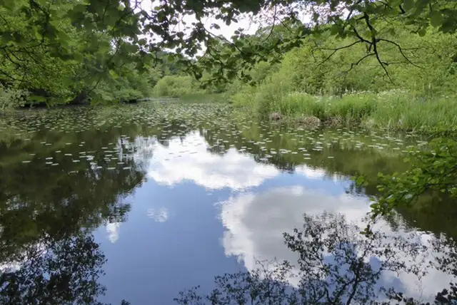
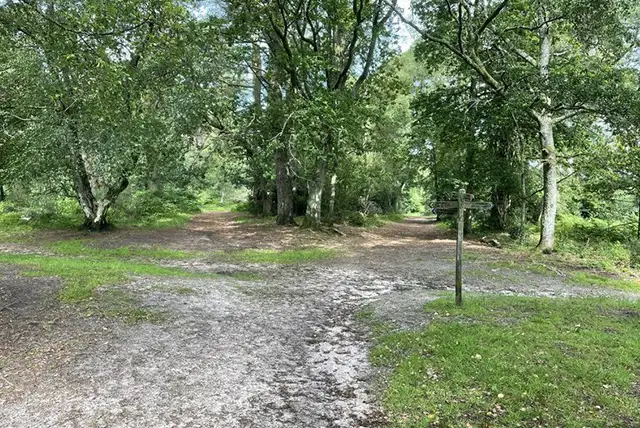
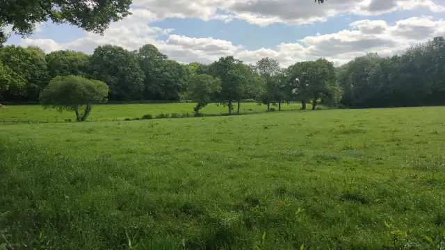
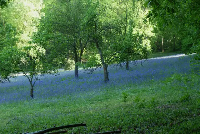
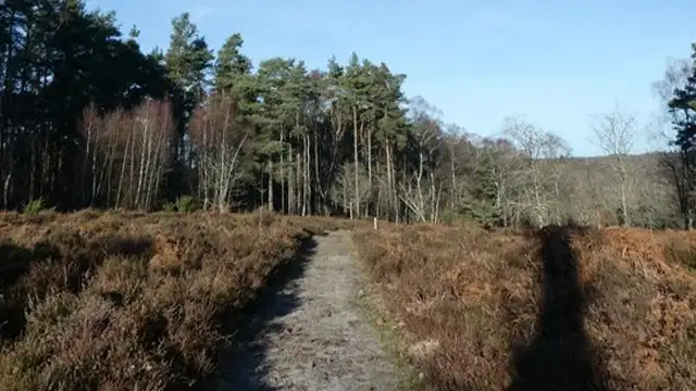
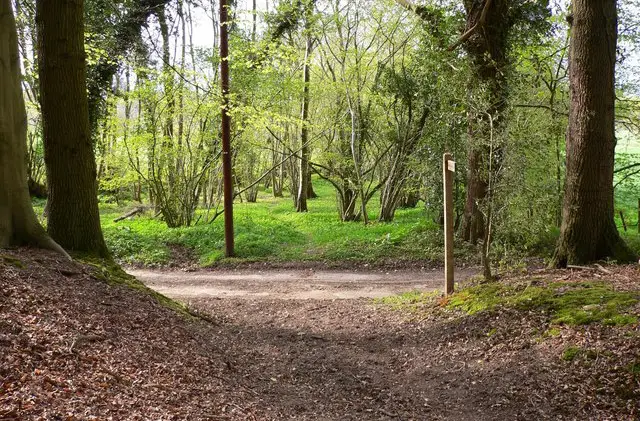
Open stretches around Coochway Ground give a sense of space, while nearby Tanland Copse brings a more sheltered feel with its trees and dense ground cover.

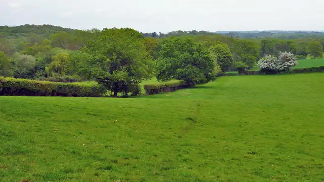
The mix of farmland and woodland reflects the long-shaped rural character of this part of West Sussex.

The walk rounds off at the village pub for refreshments.

Lurgashall Walk 1 4.0 Ratings and reviews 1 rating · 1 review

Based on 1 user rating

Community feedback

Overall rating4.0

A very popular walk

Dog friendly5.0 / 5
Path condition2.0 / 5
Buggy friendly1.0 / 5
Wheelchair friendly1.0 / 5
Toilet facilities1.0 / 5
Pub or café0.0 / 5
Route accuracy4.0 / 5
ClimbingSome climbing
LivestockSome livestock
StilesSeveral stiles
Mud levelMay be muddy after wet weather

Real feedback from people who have completed this walk using the Sussex Walks app.

First-hand experiences

User reviews

Walker review

What a beautiful trail Sadly some parts very overgrown and some stiles very unsafe.More importantly my pup throughly enjoyed herself

Walk information

Lurgashall Walk 2

Walk distance
4½ miles
Time
2 hours
Route type
Circular

This longer Lurgashall walk explores the gently rolling farmland of the Low Weald, linking open countryside with pockets of woodland.

Around Coochway Ground, wide fields set the tone before the landscape narrows into the trees of Bullocks Copse and Tanland Copse.

These small woods bring shade and enclosure to the route, their trees and ground cover offering habitat for local wildlife.

At the end of the walk, you reach The Noah’s Ark pub in the village, a good place to finish with a refreshing drink.

Lurgashall Walk 2 No ratings yet Be the first - rate this walk in the Sussex Walks App

Navigate the walks

Sussex Walks App

Follow the Lurgashall walks with GPS guidance

It's like sat-nav, but for footpaths.

Choose a walk and follow the pointer showing your live position on the route map, so you always know you're on the right path.

The app works without a phone signal, so you can keep following the route wherever the walk takes you.

Download the app

Download on the App Store Get it on Google Play
Sussex Walks app showing the walker's live position on a route map

Designed to be simple

  • Choose a walk and follow the pointer
  • See your live position on the route map
  • Works without a phone signal
  • Includes 400 Sussex walks
  • Free one-month trial
  • Available for iPhone and Android

Explore the area

Nearby walks

Explore the county

Sussex walks map

Map data © OpenStreetMap contributors

Search Sussex walks

See where the walks start, explore the area and tap a pin to find a route for your next adventure.

Search Sussex walks
Expanded route map for Lurgashall Walk 1, a 2.75 mile circular walk in Sussex