

Sussex Walks

Stanley Common Walks & Route Maps

Stanley Common walk, Sussex
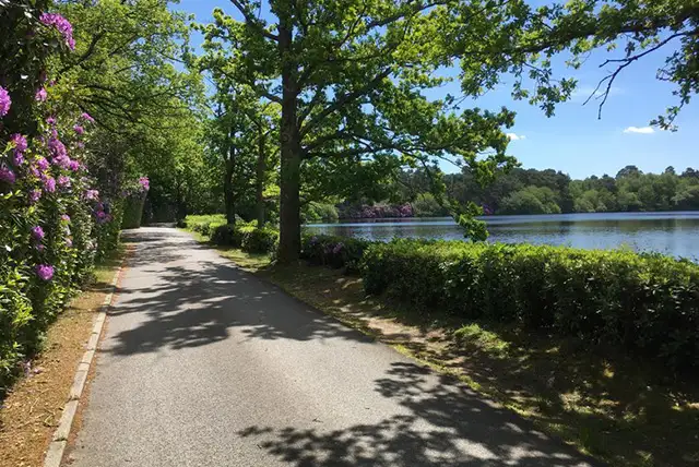
Stanley Common · Photo: Basher Eyre

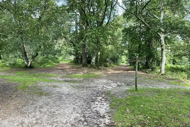
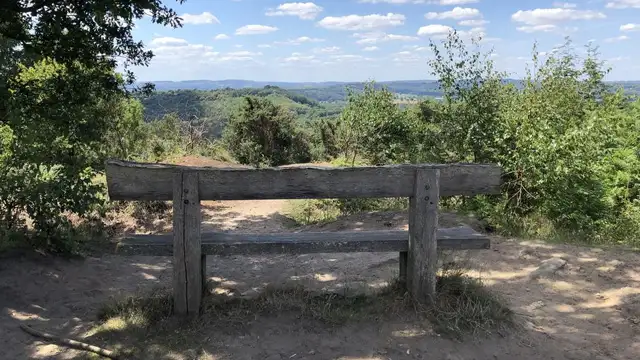
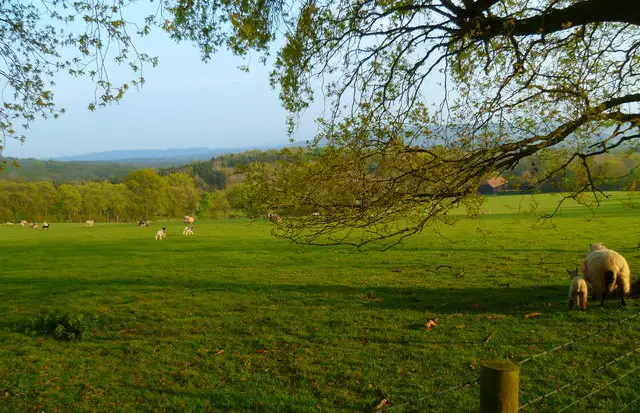
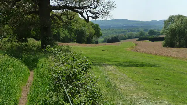
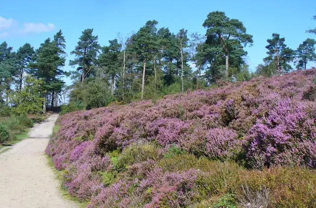
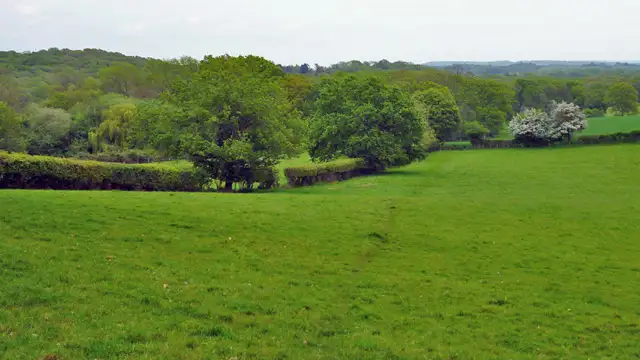
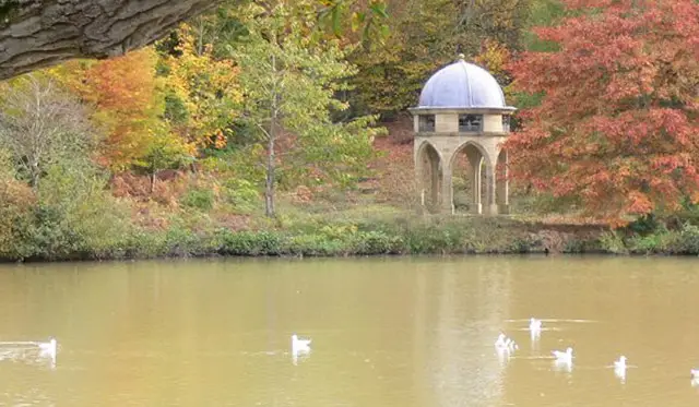
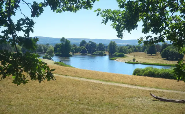
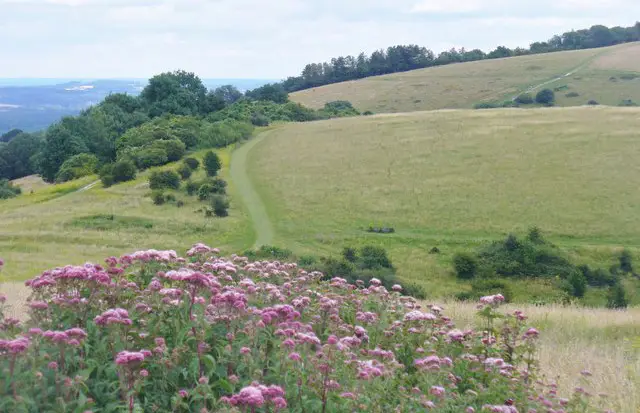
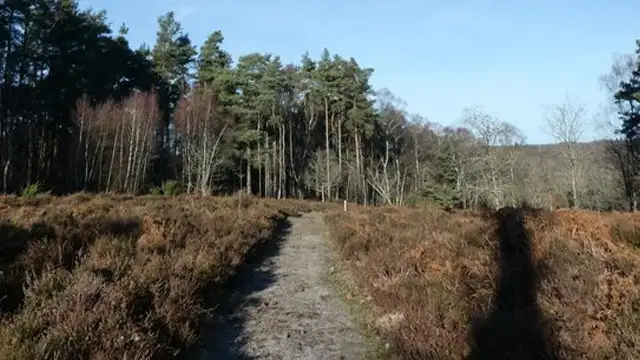
Set close to the Surrey border in Sussex, the walks around Stanley Common explore a mix of heathland, rough grass, and quiet woodland paths.

These walks are easy-going and open in character, following a landscape shaped by centuries of grazing and common land use.

One option is a shorter loop across Stanley Common itself, passing Parkgate Copse before finishing near the Steam Museum Café.

The longer route extends further across Linchmere Common and includes a section of the Sussex Border Path, adding more variety in terrain and scenery.

Both walks finish at the café, making for a relaxed end to a simple but varied countryside outing.

Download the Sussex Walks App to follow these routes with real-time GPS navigation.

Download on the App Store Get it on Google Play

Walk information

Stanley Common Walk 1

Walk distance
2 miles
Time
1 hour
Route type
Circular

This short Stanley Common walk is a relaxed loop that captures the character of this shared stretch of West Sussex countryside.

Stanley Common’s sandy paths and mix of heather and rough grass reflect its long history as common grazing land near the Surrey border.

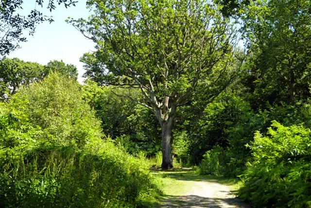
The route passes Parkgate Copse, where a small patch of woodland brings shade and a break from the open ground.

It finishes near the Steam Museum Café, giving this easy-going outing a friendly, sociable end.

Stanley Common Walk 1 No ratings yet Be the first - rate this walk in the Sussex Walks App

Walk information

Stanley Common Walk 2

Walk distance
5 miles
Time
2.5 hours
Route type
Circular

This is the longest walk at Stanley Common, a satisfying loop across heath, woodland and historic county boundary.

It begins on Stanley Common with its sandy paths and rough grass.

The route joins the Sussex Border Path, before crossing Linchmere Common with its open heath and scattered trees.

A quieter stretch past Parkgate Copse adds woodland shade, and the Steam Museum Café provides a relaxed finishing point to this varied countryside outing.

Stanley Common Walk 2 No ratings yet Be the first - rate this walk in the Sussex Walks App

Navigate the walks

Sussex Walks App

Follow the Stanley Common walks with GPS guidance

It's like sat-nav, but for footpaths.

Choose a walk and follow the pointer showing your live position on the route map, so you always know you're on the right path.

The app works without a phone signal, so you can keep following the route wherever the walk takes you.

Download the app

Download on the App Store Get it on Google Play
Sussex Walks app showing the walker's live position on a route map

Designed to be simple

  • Choose a walk and follow the pointer
  • See your live position on the route map
  • Works without a phone signal
  • Includes 400 Sussex walks
  • Free one-month trial
  • Available for iPhone and Android

Explore the area

Nearby walks

Explore the county

Sussex walks map

Map data © OpenStreetMap contributors

Search Sussex walks

See where the walks start, explore the area and tap a pin to find a route for your next adventure.

Search Sussex walks
Expanded route map for Stanley Common Walk 1, a 2 mile circular walk in Sussex