

Sussex Walks

Woolbeding Common Walks & Route Maps

Woolbeding Common walk, Sussex
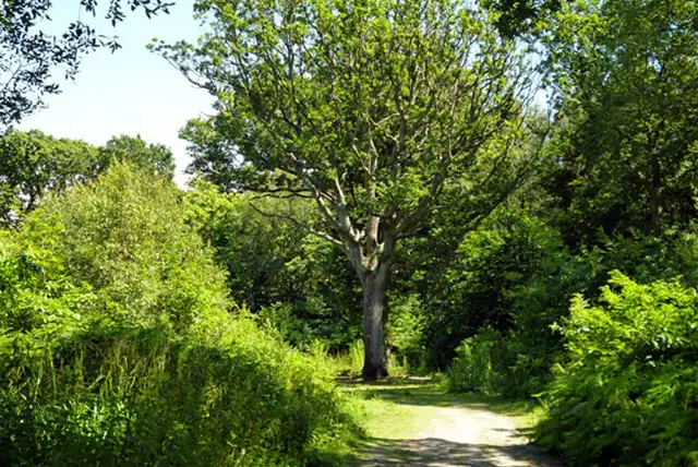
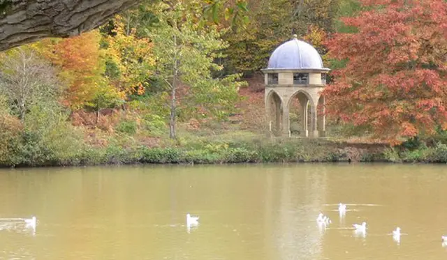
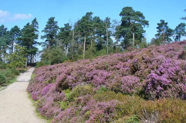
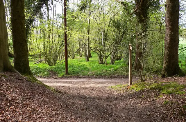
Woolbeding Common · Photo: Chris Thomas-Atkin

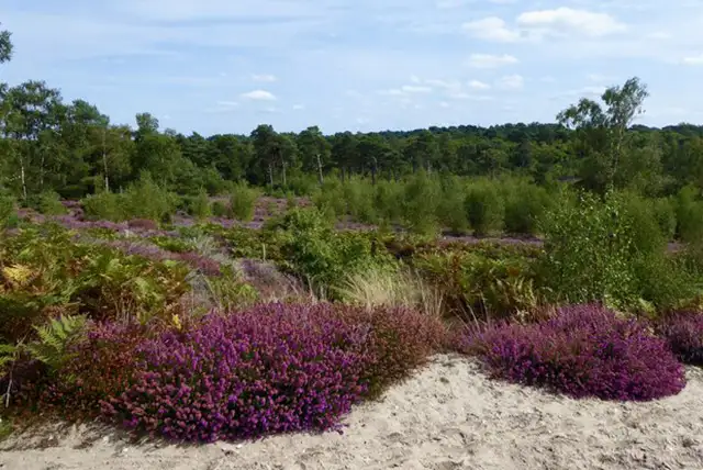
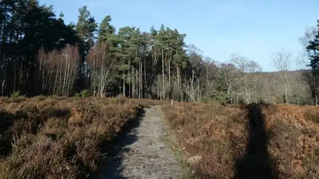
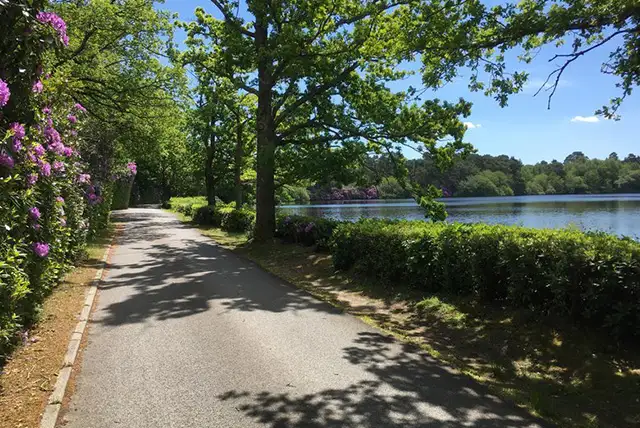
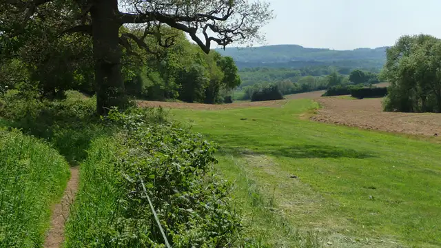
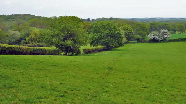
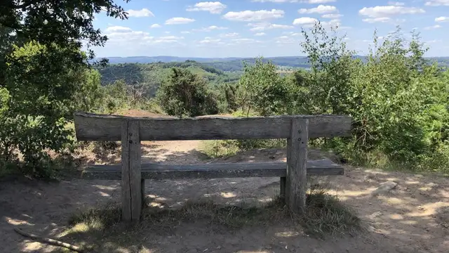
Set within the South Downs National Park in Sussex, the walks around Woolbeding Common explore open heathland with sandy soils, heather, gorse, and scattered trees.

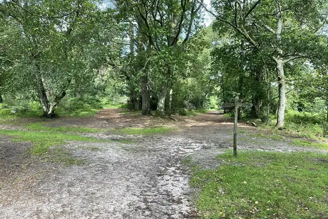
These walks are mostly open and easy to follow, with a mix of heath and light woodland.

The shorter walk stays around Woolbeding and Pound Common, while the longer route continues into Oakham Common and includes part of the Serpent Trail.

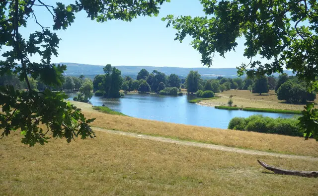
Together, the walks give a straightforward way to explore this area of West Sussex, with a good mix of open ground and simple paths.

Download the Sussex Walks App to follow these routes with real-time GPS navigation.

Download on the App Store Get it on Google Play

Walk information

Woolbeding Common Walk 1

Walk distance
3 miles
Time
1.5 hours
Route type
Circular

This first route explores the open sweep of Woolbeding Common, a rare area of lowland heath within the South Downs National Park.

Managed by the National Trust, the landscape is shaped by sandy soils, heather, gorse and scattered trees, giving it a light, spacious feel.

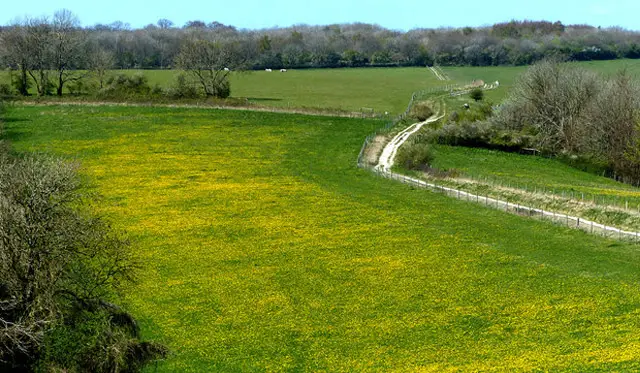
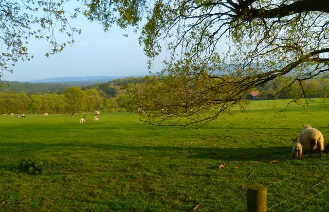
The walk also crosses Pound Common, another piece of historic grazing land. Together they create a relaxed circuit through open heath and woodland edge - a compact introduction to this distinctive corner of West Sussex.

Woolbeding Common Walk 1 No ratings yet Be the first - rate this walk in the Sussex Walks App

Walk information

Woolbeding Common Walk 2

Walk distance
6¼ miles
Time
3 hours
Route type
Circular

This longer walk builds on that same heathland setting, stretching further across Woolbeding and into Oakham Common.

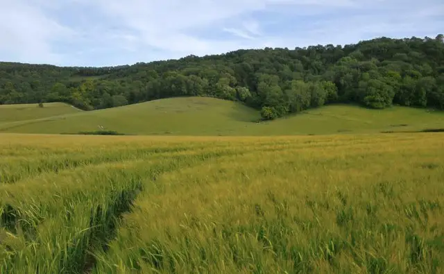
The sense of openness deepens here, with wider sweeps of sandy ground and low vegetation reflecting the area’s shared-land past.

A section of the 64-mile Serpent Trail adds a broader connection, linking these commons to a much larger network across the Greensand hills.

Woolbeding Common Walk 2 No ratings yet Be the first - rate this walk in the Sussex Walks App

Navigate the walks

Sussex Walks App

Follow the Woolbeding Common walks with GPS guidance

It's like sat-nav, but for footpaths.

Choose a walk and follow the pointer showing your live position on the route map, so you always know you're on the right path.

The app works without a phone signal, so you can keep following the route wherever the walk takes you.

Download the app

Download on the App Store Get it on Google Play
Sussex Walks app showing the walker's live position on a route map

Designed to be simple

  • Choose a walk and follow the pointer
  • See your live position on the route map
  • Works without a phone signal
  • Includes 400 Sussex walks
  • Free one-month trial
  • Available for iPhone and Android

Explore the area

Nearby walks

Explore the county

Sussex walks map

Map data © OpenStreetMap contributors

Search Sussex walks

See where the walks start, explore the area and tap a pin to find a route for your next adventure.

Search Sussex walks
Expanded route map for Woolbeding Common Walk 1, a 3 mile circular walk in Sussex