

Sussex Walks

Droke Walks & Route Maps

Droke walk, Sussex
Droke · Photo: Ian Cunliffe

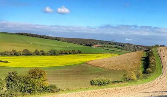
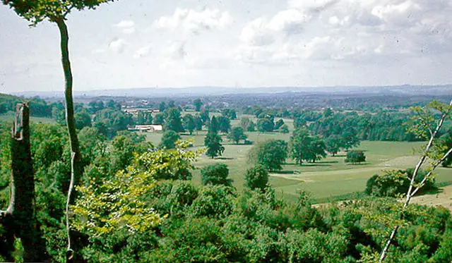
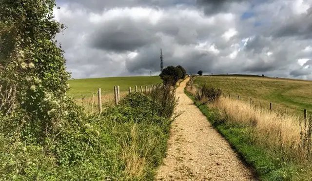
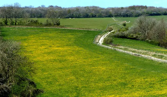
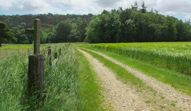
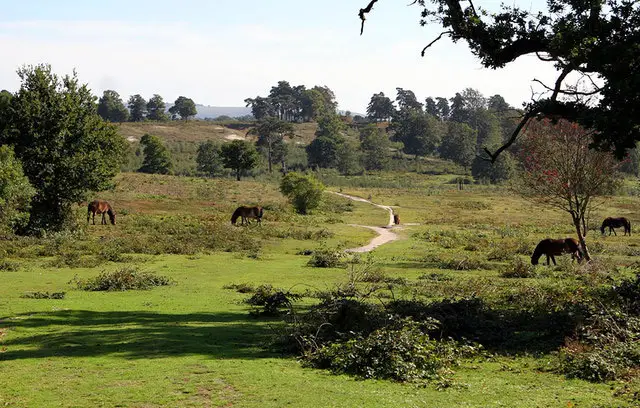
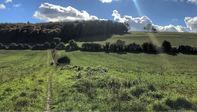
These walks around Droke offer a wonderful way to explore the hilly woodlands and open countryside of this part of Sussex.

The shortest of these walks provides a compact but rewarding loop through the woodland paths, including a climb up Selhurstpark Hill, where you can enjoy both trees and wildlife along the way.

For a longer outing, the second route ventures further into the surrounding hills and woodlands, looping down to the village of East Dean for a welcoming pub stop before returning via more wooded paths and another climb up Selhurstpark Hill.

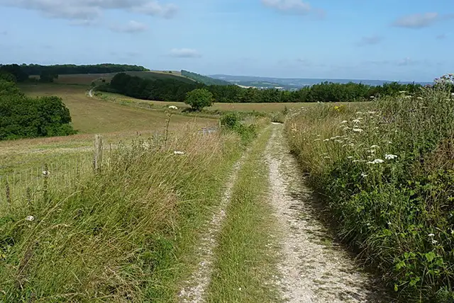
The most challenging of these walks extends the adventure even further, taking in Graffham Down along the South Downs Way, offering extensive views, plenty of hilly terrain, and a full day of exploring before returning to East Dean and back to the Droke car park.

Download the Sussex Walks App to follow these routes with real-time GPS navigation.

Download on the App Store Get it on Google Play

Walk information

Droke Walk 1

Walk distance
2¼ miles
Time
1 hour
Route type
Circular

This first walk is a short and hilly walk around the pretty Droke woodlands.

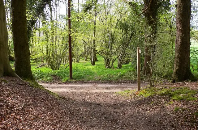
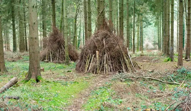
The grid of pathways through the woodland offers a great mixture of trees and wildlife and you'll tackle Selhurstpark Hill as part of the walk as well.

It can get muddy after wet weather, so please take the appropriate footwear for your walk.

Droke Walk 1 4.0 Ratings and reviews 1 rating · 1 review

Based on 1 user rating

Community feedback

Overall rating4.0

A very popular walk

Dog friendly5.0 / 5
Path condition5.0 / 5
Buggy friendly2.0 / 5
Wheelchair friendly2.0 / 5
Toilet facilities1.0 / 5
Pub or café4.0 / 5
Route accuracy5.0 / 5
ClimbingSome climbing
LivestockNo livestock
StilesNo stiles
Mud levelMostly dry

Real feedback from people who have completed this walk using the Sussex Walks app.

First-hand experiences

User reviews

Walker review

Nice hour family walk, one tough hill.

Walk information

Droke Walk 2

Walk distance
5¼ miles
Time
2.5 hours
Route type
Circular

If you have more time and a lot more energy, then the second route is a longer adventure in the hills and woodlands surrounding the Droke car park.

You'll first climb up the steep hill into the woodland to the north of the car park before embarking on a big loop of walking that takes you back down the hill and visits East Dean, where you'll find a nice little pub for refreshments.

After that you'll embark on another hilly stretch of walking that enjoys more of the woodland and climbs Selhurstpark Hill.

Droke Walk 2 4.0 Ratings and reviews 1 rating

Based on 1 user rating

Community feedback

Overall rating4.0

A very popular walk

Dog friendly4.0 / 5
Path condition3.0 / 5
Buggy friendly1.0 / 5
Wheelchair friendly1.0 / 5
Toilet facilities1.0 / 5
Pub or café3.0 / 5
Route accuracy5.0 / 5
ClimbingPlenty of climbing
LivestockRarely any livestock
StilesNo stiles
Mud levelBoots recommended

Real feedback from people who have completed this walk using the Sussex Walks app.

Walk information

Droke Walk 3

Walk distance
8½ miles
Time
4.5 hours
Route type
Circular

The final route option from Droke is basically a big extended version of the second walk.

It is very hilly and there are a lot of strenuous hills to tackle, but this walk takes you right up to the Graffham Down where you'll enjoy a stretch of walking long the South Downs Way before heading back down to the village of East Dean with its pub, and then back to the start of the walk.

Droke Walk 3 No ratings yet Be the first - rate this walk in the Sussex Walks App

Navigate the walks

Sussex Walks App

Follow the Droke walks with GPS guidance

It's like sat-nav, but for footpaths.

Choose a walk and follow the pointer showing your live position on the route map, so you always know you're on the right path.

The app works without a phone signal, so you can keep following the route wherever the walk takes you.

Download the app

Download on the App Store Get it on Google Play
Sussex Walks app showing the walker's live position on a route map

Designed to be simple

  • Choose a walk and follow the pointer
  • See your live position on the route map
  • Works without a phone signal
  • Includes 400 Sussex walks
  • Free one-month trial
  • Available for iPhone and Android

Explore the area

Nearby walks

Explore the county

Sussex walks map

Map data © OpenStreetMap contributors

Search Sussex walks

See where the walks start, explore the area and tap a pin to find a route for your next adventure.

Search Sussex walks
Expanded route map for Droke Walk 1, a 2.25 mile circular walk in Sussex