

Sussex Walks

Chilgrove Walks & Route Maps

Chilgrove walk, Sussex
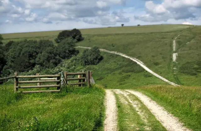
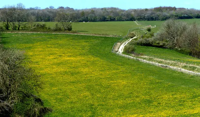
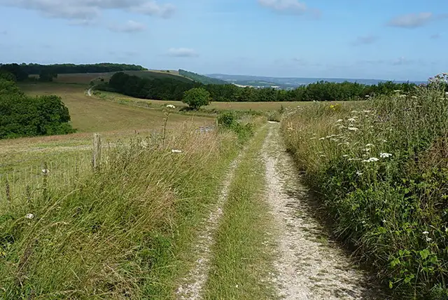
Chilgrove · Photo: Richard Law

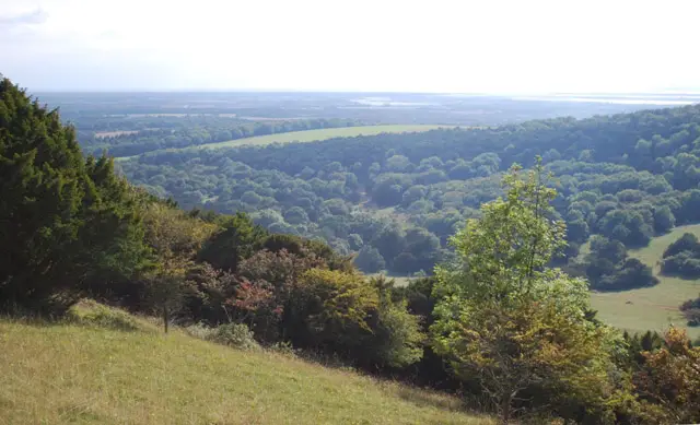
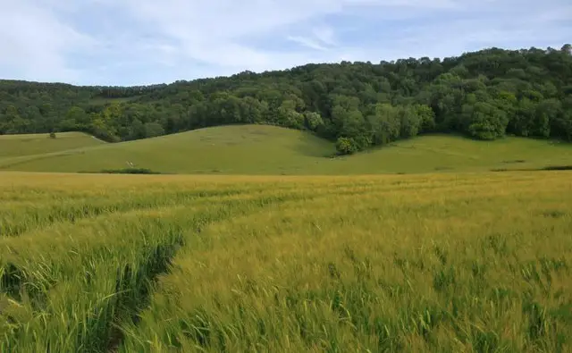
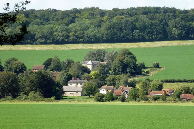
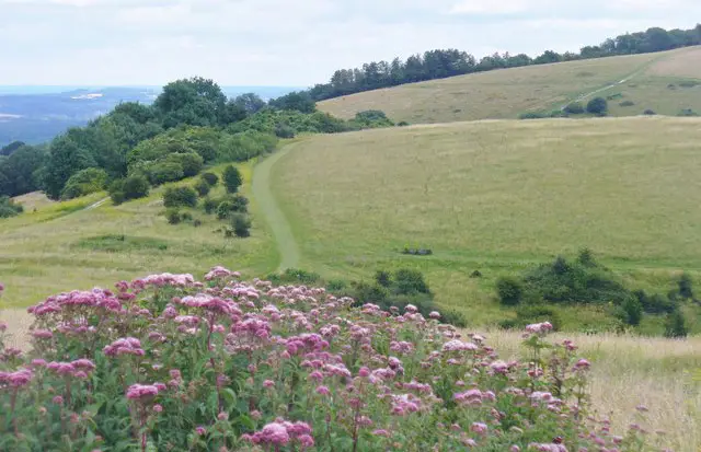
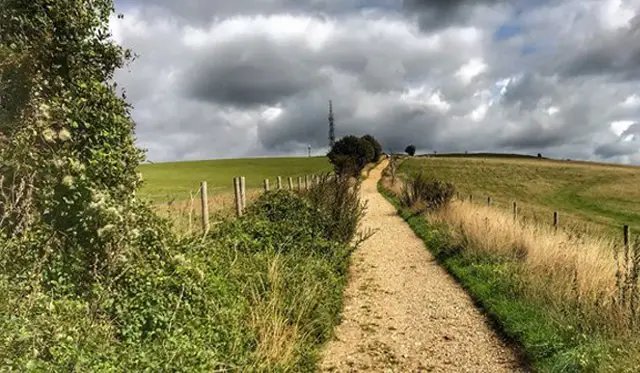
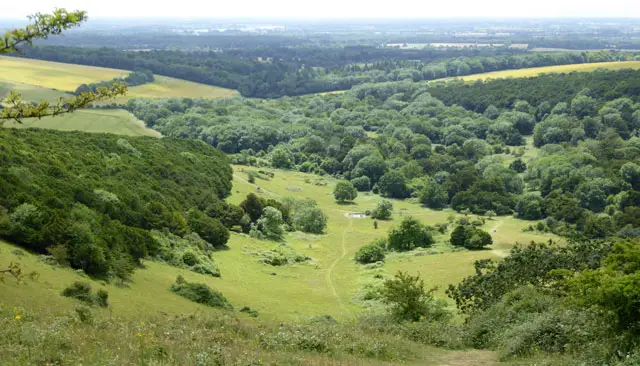
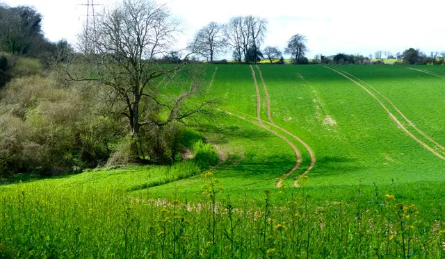
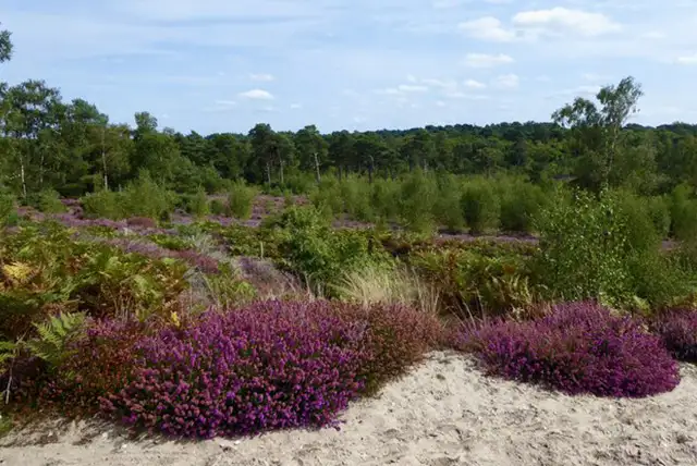
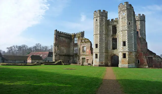
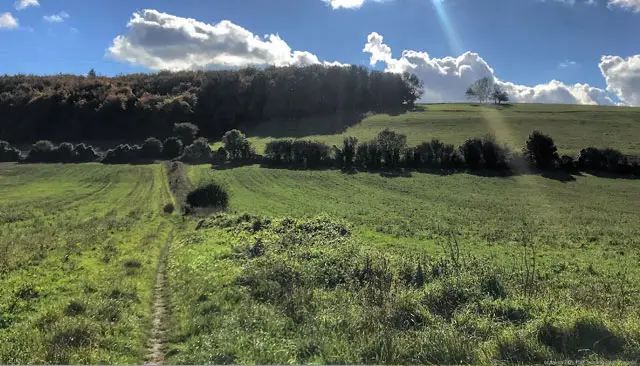
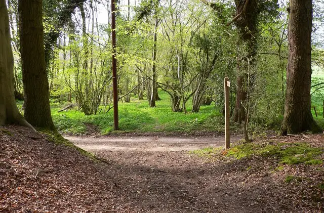
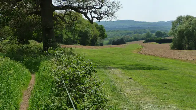
These walks from Chilgrove offer a wonderful way to explore the South Downs, with a choice of relaxed countryside wandering or a more expansive hill-top adventure.

Expect gentle slopes, pockets of woodland, and plenty of classic downland scenery throughout, with the added bonus of two welcoming village pubs at The Royal Oak and The White Horse to bookend your outing.

Whether you choose a shorter outing or the longer ridge-top route, these walks capture the easy charm and open beauty of this corner of Sussex.

Download the Sussex Walks App to follow these routes with real-time GPS navigation.

Download on the App Store Get it on Google Play

Walk information

Chilgrove Walk 1

Walk distance
4½ miles
Time
2 hours
Route type
Circular

This is our first walk from Chilgrove, offering a satisfying stretch without committing to the full-distance option.

It has some gentle slopes, a little woodland, and two pubs: The Royal Oak and The White Horse.

The route has a steady, unhurried feel, ideal for a few hours out in the South Downs landscape.

Chilgrove Walk 1 No ratings yet Be the first - rate this walk in the Sussex Walks App

Walk information

Chilgrove Walk 2

Walk distance
7 miles
Time
3.5 hours
Route type
Circular

This longer Chilgrove walk blends classic South Downs high points with village character.

It begins and ends at local pubs, framing the route with a welcome sense of tradition.

Along the way, the chalk ridge rises over Treyford Hill and on to Linch Down, the highest point in West Sussex.

The path meets the South Downs Way, the 100-mile National Trail linking Winchester and Eastbourne, before dipping towards the shelter of Westdean Woods.

Chilgrove Walk 2 No ratings yet Be the first - rate this walk in the Sussex Walks App

Navigate the walks

Sussex Walks App

Follow the Chilgrove walks with GPS guidance

It's like sat-nav, but for footpaths.

Choose a walk and follow the pointer showing your live position on the route map, so you always know you're on the right path.

The app works without a phone signal, so you can keep following the route wherever the walk takes you.

Download the app

Download on the App Store Get it on Google Play
Sussex Walks app showing the walker's live position on a route map

Designed to be simple

  • Choose a walk and follow the pointer
  • See your live position on the route map
  • Works without a phone signal
  • Includes 400 Sussex walks
  • Free one-month trial
  • Available for iPhone and Android

Explore the area

Nearby walks

Explore the county

Sussex walks map

Map data © OpenStreetMap contributors

Search Sussex walks

See where the walks start, explore the area and tap a pin to find a route for your next adventure.

Search Sussex walks
Expanded route map for Chilgrove Walk 1, a 4.5 mile circular walk in Sussex