

Sussex Walks

Slindon Walks & Route Maps

Slindon walk, Sussex
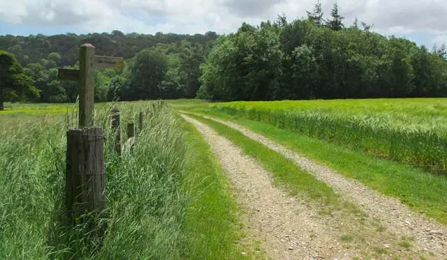
Slindon · Photo: Chris Gunns

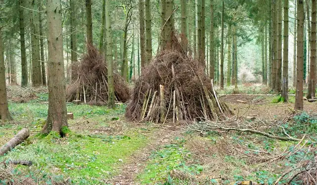
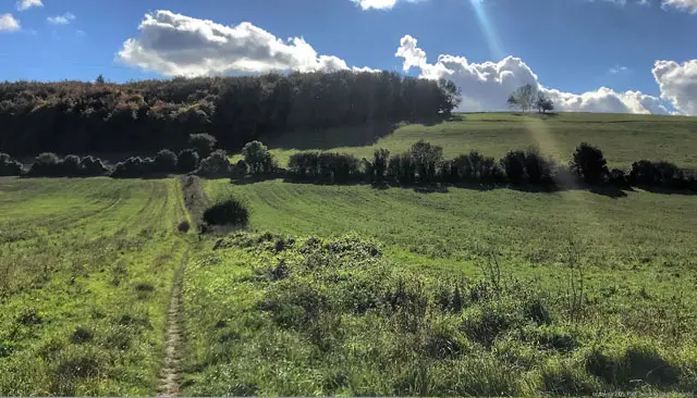
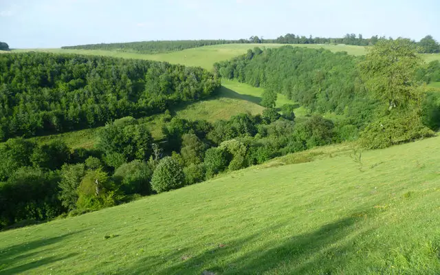
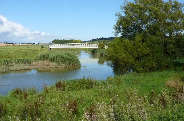
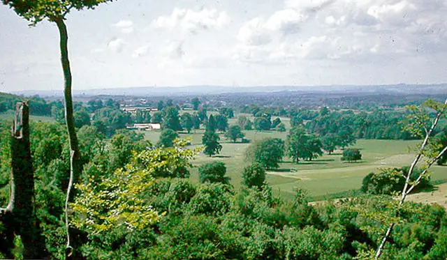
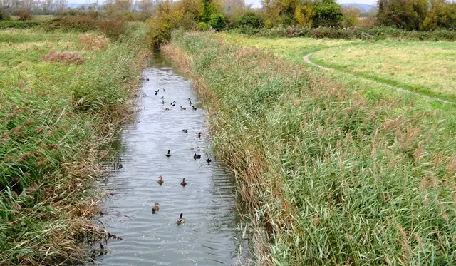
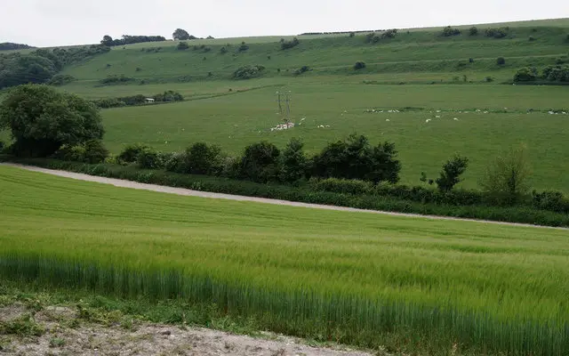
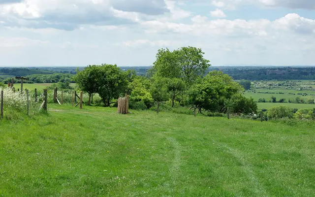
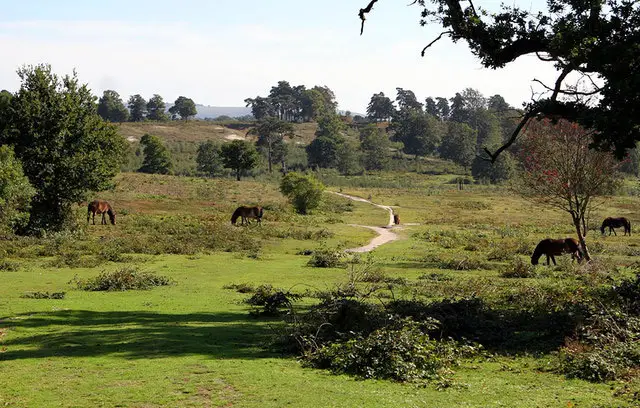
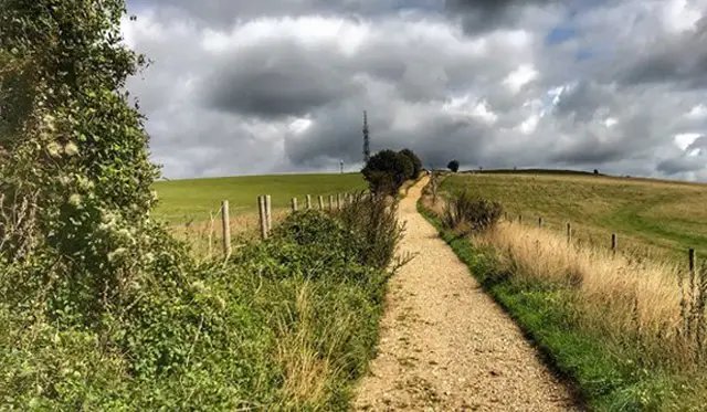
These walks explore the scenic Slindon Estate in the South Downs National Park, offering a mix of open countryside, woodland, and historic features.

The shorter route takes you through rolling fields and a steep climb into Nore Wood, where you can enjoy views from the Nore Folly gateway.

The longer option extends north to Great Down and follows the Roman Road along Monarch’s Way, creating a more challenging but rewarding circular route through the hills.

Download the Sussex Walks App to follow these routes with real-time GPS navigation.

Download on the App Store Get it on Google Play

Walk information

Slindon Walk 1

Walk distance
4 miles
Time
2 hours
Route type
Circular

This is a wonderful walk around the beautiful Slindon Estate in the South Downs national park.

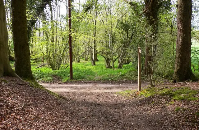
If you head anticlockwise, you can expect some lovely open countryside walking followed by a steep and energetic climb up into Nore Wood.

When you emerge from the woodland, you'll find the intriguing Nore Folly gateway structure and some wonderful views to enjoy.

Slindon Walk 1 No ratings yet Be the first - rate this walk in the Sussex Walks App

Walk information

Slindon Walk 2

Walk distance
6¾ miles
Time
3.5 hours
Route type
Circular

This second route option is basically a longer extended version of the first route.

You'll still enjoy the views, Nore Folly and woodland from the first route, but you'll also head further north, walking around the Great Down and joining up with the Roman Road on Monarch's Way for a long walk back to Nore wood.

This is a hilly area and a long walk, so please go prepared with plenty of energy.

Slindon Walk 2 5.0 Ratings and reviews 1 rating · 1 review

Based on 1 user rating

Community feedback

Overall rating5.0

An outstanding walk

Dog friendly4.0 / 5
Path condition4.0 / 5
Buggy friendly1.0 / 5
Wheelchair friendly1.0 / 5
Toilet facilities1.0 / 5
Pub or café1.0 / 5
Route accuracy4.0 / 5
ClimbingSome climbing
LivestockLivestock likely
StilesNo stiles
Mud levelBoots recommended

Real feedback from people who have completed this walk using the Sussex Walks app.

First-hand experiences

User reviews

Walker review

A couple of junctions were tricky as lots of pathways and GPS wasnt great in those areas, but otherwise, a lovely walk

Navigate the walks

Sussex Walks App

Follow the Slindon walks with GPS guidance

It's like sat-nav, but for footpaths.

Choose a walk and follow the pointer showing your live position on the route map, so you always know you're on the right path.

The app works without a phone signal, so you can keep following the route wherever the walk takes you.

Download the app

Download on the App Store Get it on Google Play
Sussex Walks app showing the walker's live position on a route map

Designed to be simple

  • Choose a walk and follow the pointer
  • See your live position on the route map
  • Works without a phone signal
  • Includes 400 Sussex walks
  • Free one-month trial
  • Available for iPhone and Android

Explore the area

Nearby walks

Explore the county

Sussex walks map

Map data © OpenStreetMap contributors

Search Sussex walks

See where the walks start, explore the area and tap a pin to find a route for your next adventure.

Search Sussex walks
Expanded route map for Slindon Walk 1, a 4 mile circular walk in Sussex