Surrey Walks

St Martha's Hill

St Martha's Hill walk, Surrey
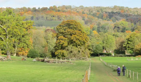
St Martha's Hill · Photo: Ian Capper

Download the Surrey Walks App to follow these routes with real-time GPS navigation.

Download on the App Store Get it on Google Play

Walk information

St Martha's Hill Walk 1

Walk distance
1½ miles
Time
30 mins
Route type
Circular

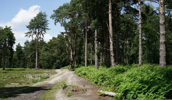
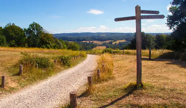
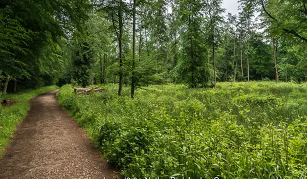
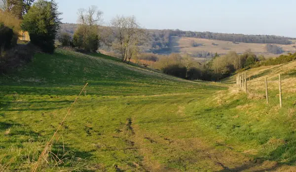
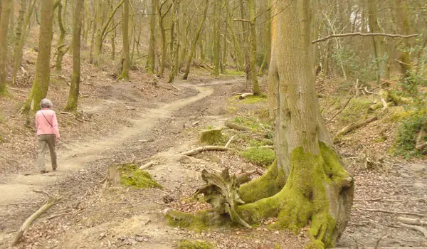
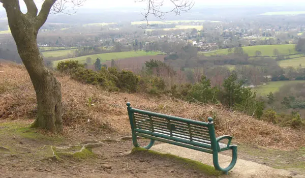
This is a lovely short family-friendly walk through wonderful woodland that climbs up to the top of St Martha's Hill where you can enjoy the pretty church and some wonderful views.

St Martha's Hill Walk 1 No ratings yet Be the first - rate this walk in the Surrey Walks App

Walk information

St Martha's Hill Walk 2

Walk distance
4¼ miles
Time
2 hours
Route type
Circular

This second route option is a much longer, and even more strenuous, adventure from the St Martha's Hill car park.

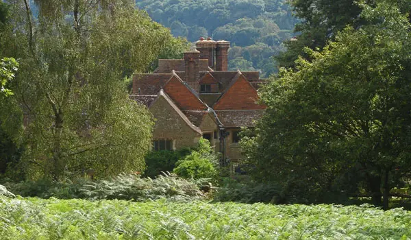
Like the first route, you'll first climb up though woodland to the summit of St Martha's Hill to visit the church and enjoy the views. After that, you'll then descend down into the Tillingbourne Valley, passing Chilworth manor as you go.

You'll then head east on a track through woodland (passing a quick detour to a nice pub if you need refreshments) and then walk through open countryside until you reach the pretty Waterloo Pond.

Finally, you'll loop around the pond, and then start the long climb back up through the Colyers Hanger Woodlands to the start point.

The Chilworth Train Station is on this route, so you can travel to this walk by train if you wish.

Refreshments:

The Percy Arms, Chilworth

St Martha's Hill Walk 2 No ratings yet Be the first - rate this walk in the Surrey Walks App

Navigate the walks

Surrey Walks App

Follow the St Martha's Hill walks with GPS guidance

It's like sat-nav, but for footpaths.

Choose a walk and follow the pointer showing your live position on the route map, so you always know you're on the right path.

The app works without a phone signal, so you can keep following the route wherever the walk takes you.

Download the app

Download on the App Store Get it on Google Play
Surrey Walks app showing the walker's live position on a route map

Designed to be simple

  • Choose a walk and follow the pointer
  • See your live position on the route map
  • Works without a phone signal
  • Includes 150+ Surrey walks
  • Free one-month trial
  • Available for iPhone and Android

Explore the area

Nearby walks

Explore the county

Surrey walks map

Map data © OpenStreetMap contributors

Search Surrey walks

See where the walks start, explore the area and tap a pin to find a route for your next adventure.

Search Surrey walks
Expanded route map for St Martha's Hill Walk 1, a 1.5 mile circular walk in Surrey