

Surrey Walks

Silent Pool

Silent Pool walk, Surrey
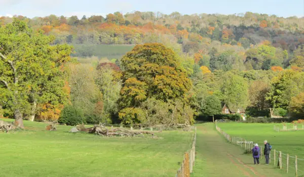
Silent Pool · Photo: Kurseong Carl

Download the Surrey Walks App to follow these routes with real-time GPS navigation.

Download on the App Store Get it on Google Play

Walk information

Silent Pool Walk 1

Walk distance
3½ miles
Time
2 hours
Route type
Circular

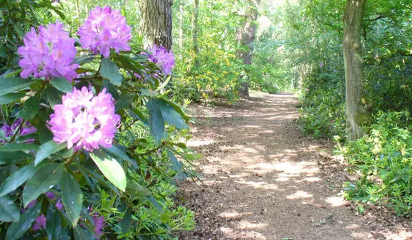
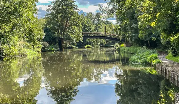
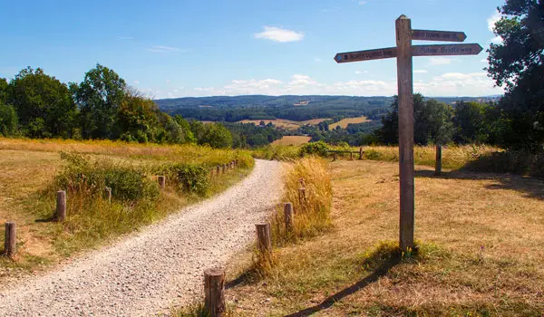
This is a wonderful short but energetic walk from the Silent Pool lake car park.

After strolling past the pretty lakes you'll immediate tackle the very steep climb up 100m of altitude until you meet the North Downs way.

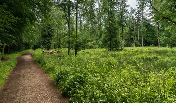
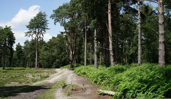
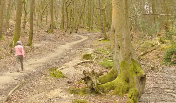
Once you reach the top you'll turn left and follow the Drove Road track through woodland until you reach the Newlands Corner car park where there is a cafe for refreshments.

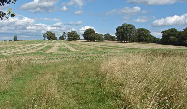
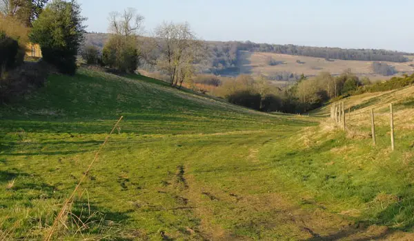
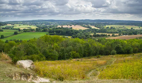
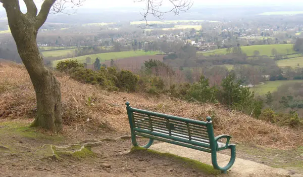
Then, you'll enjoy a long and steep downhill walk enjoying wonderful views as you go before eventually meeting the Pilgrim's Way for a long walk back to the start through nice open countryside.

Refreshments:

Newlands Cafe, Newlands Corner

Silent Pool Walk 1 No ratings yet Be the first - rate this walk in the Surrey Walks App

Walk information

Silent Pool Walk 2

Walk distance
5¼ miles
Time
2.5 hours
Route type
Circular

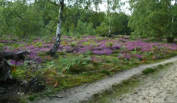
If you have more time and energy for your adventure from Silent Pool, then this second route is a longer walk for you to enjoy.

You'll still enjoy the lakes and tackle the steep climb up the Fox Way, and you'll still enjoy a lovely woodland walk along the top.

However, this route follows the North Downs Way for much further enjoying more lovely views before descending down the hill and then climbing another steep path again to get to the summit of Martha's Hill.

After that you'll retrace your steps back down the hill and then follow the Pilgrim's Way all the way back to the start.

Refreshments:

Newlands Cafe, Newlands Corner
Silent Pool Walk 2 No ratings yet Be the first - rate this walk in the Surrey Walks App

Navigate the walks

Surrey Walks App

Follow the Silent Pool walks with GPS guidance

It's like sat-nav, but for footpaths.

Choose a walk and follow the pointer showing your live position on the route map, so you always know you're on the right path.

The app works without a phone signal, so you can keep following the route wherever the walk takes you.

Download the app

Download on the App Store Get it on Google Play
Surrey Walks app showing the walker's live position on a route map

Designed to be simple

  • Choose a walk and follow the pointer
  • See your live position on the route map
  • Works without a phone signal
  • Includes 150+ Surrey walks
  • Free one-month trial
  • Available for iPhone and Android

Explore the area

Nearby walks

Explore the county

Surrey walks map

Map data © OpenStreetMap contributors

Search Surrey walks

See where the walks start, explore the area and tap a pin to find a route for your next adventure.

Search Surrey walks
Expanded route map for Silent Pool Walk 1, a 3.5 mile circular walk in Surrey