
Walk information
Abinger Hammer Walk 1
- Walk distance
- 2¼ miles
- Time
- 1 hour
- Route type
- Circular
This is a lovely short and relatively easy stroll in and around the historic village of Abinger Hammer.
Surrey Walks
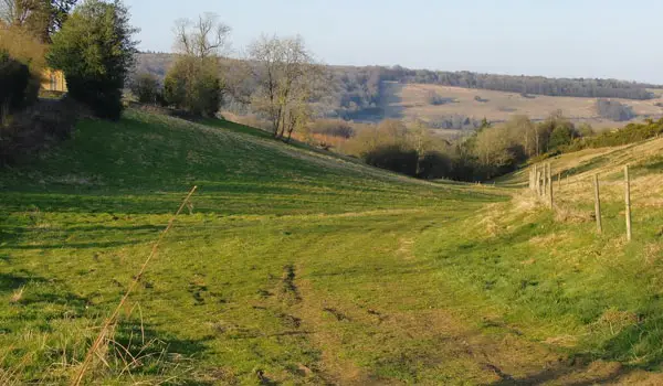
These walks around Abinger Hammer offer three different ways to explore this part of the Surrey Hills.
The village sits in a peaceful valley setting, making it a good starting point for everything from a short local stroll to a full day’s countryside walk.
The shortest route stays close to the village, the middle option climbs up to the North Downs for wider views before returning via Abinger Roughs, and the longest route explores surrounding woodlands including Pasture Wood, Friday Street, and the Wotton Estate.
With tea rooms in Abinger Hammer and a pub option on the longer route, these walks are a relaxed way to enjoy this varied landscape.
Download the Surrey Walks App to follow these routes with real-time GPS navigation.


Walk information
This is a lovely short and relatively easy stroll in and around the historic village of Abinger Hammer.
Walk information
This second route is a longer and significantly more strenuous walk from the pretty village of Abinger Hammer.
This route heads north from the village, taking you on a very steep climb up into the North Downs where you'll meet the North Downs Way and enjoy some wonderful views before heading back down to the village via the lovely Abinger Roughs Nature Trail.
Based on 1 user rating
Mixed feedback from walkers
Real feedback from people who have completed this walk using the Surrey Walks app.
First-hand experiences
Some of the paths were very over grown and took alot to hack through....
Walk information
The final route option is an epic adventure in the wonderful countryside and woodlands to the south and east of Abinger Common.
You'll initially head south east towards the village of Abinger where you'll visit the pretty church before embarking on a long looping walk through the woodlands of Pasture Wood, Friday Street and the Wotton Estate.
After that you'll follow a long path to the north, and then west, until you reach the pretty Abinger Roughs Nature Trail.
Refreshments:
The Abinger Hatch, Abinger
Abinger Tea Rooms, Abinger Hammer
Navigate the walks
It's like sat-nav, but for footpaths.
Choose a walk and follow the pointer showing your live position on the route map, so you always know you're on the right path.
The app works without a phone signal, so you can keep following the route wherever the walk takes you.

Explore the area
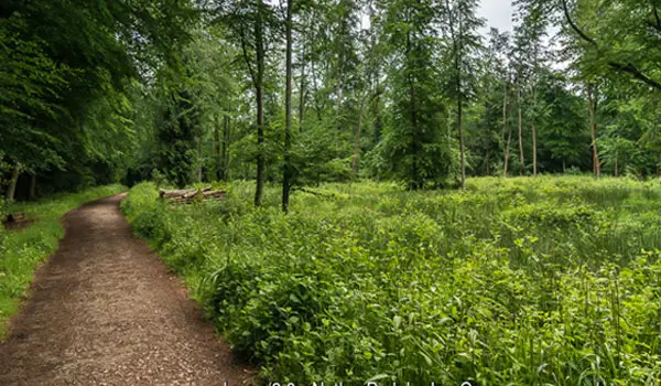 2.75-4.25 miles
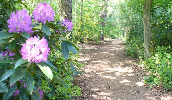 1.75 miles
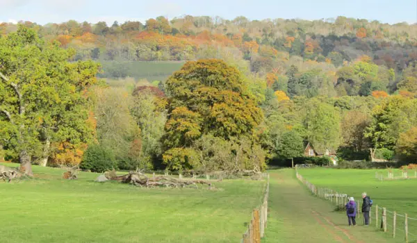 2-3.5 miles
 3-4.75 miles
 3.5-6.75 miles
 1.5-4 miles
 2.25-6 miles
 3.5-5.25 miles
 1.75-2.75 miles
 3-6.25 miles
 0.75 miles
 2.5 miles
 1.5-6 miles
 2.75-6.25 miles
 7.25 miles
Explore the county
See where the walks start, explore the area and tap a pin to find a route for your next adventure.
Search Surrey walks