
At a glance
Abinger Roughs Walk
- Distance
- 1.75 miles
- Estimated time
- 1 hour
- Route type
- Circular
- GPS app guided
- Yes
- Parking
- Free parking at start 51.22039, -0.41116
- Characteristics
- Woodland
Surrey Walks
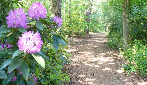
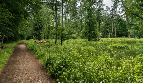
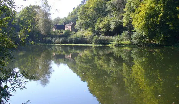
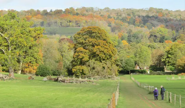
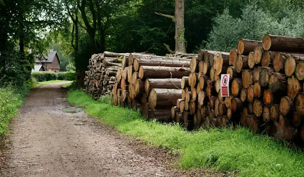
This walk is a short, family-friendly loop through Abinger Roughs Nature Trail in the Surrey Hills, part of the National Trust’s wooded landscape along the Tillingbourne Valley.
It’s a peaceful ancient woodland walk with oak and beech trees, seasonal wildlife, and a sense of history.
Download the Surrey Walks App to follow this route with real-time GPS navigation.


At a glance
The walk
This is a lovely short family friendly stroll around the wonderful Abinger Roughs Nature Trail.
Word has it, that Charles Darwin used to walk these very paths back in the 1800's.
Navigate the walks
The easiest way to follow this route is with the Surrey Walks app. Choose the walk and follow the pointer showing your live position on the route map, so you can see you're on the right path.
The app works without a phone signal, so you can keep following the route wherever the walk takes you.

Explore the area
 3-4.75 miles
 2.25-9 miles
 1.5-4 miles
 2.75-4.25 miles
 2.25-6 miles
 2-3.5 miles
 2.75-6.25 miles
 3.5-6.75 miles
 1.75-2.75 miles
 3.5-5.25 miles
 1.5-6 miles
 3-6.25 miles
 0.75 miles
 2-8.25 miles
 7.25 miles
Explore the county
See where the walks start, explore the area and tap a pin to find a route for your next adventure.
Search Surrey walks