

Surrey Walks

Margery Wood

Margery Wood walk, Surrey
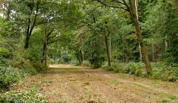
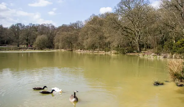
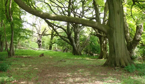
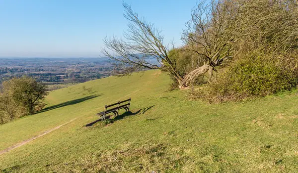
Margery Wood · Photo: Ian Capper

Download the Surrey Walks App to follow these routes with real-time GPS navigation.

Download on the App Store Get it on Google Play

Walk information

Margery Wood Walk 1

Walk distance
2¼ miles
Time
1 hour
Route type
Circular

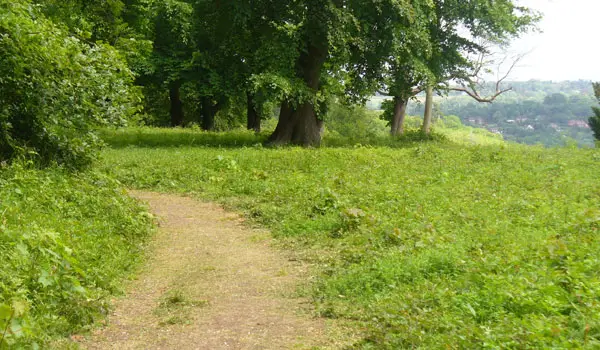
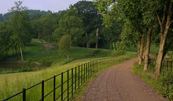
This first route is a short but varied walk that starts from the pretty Margery Wood.

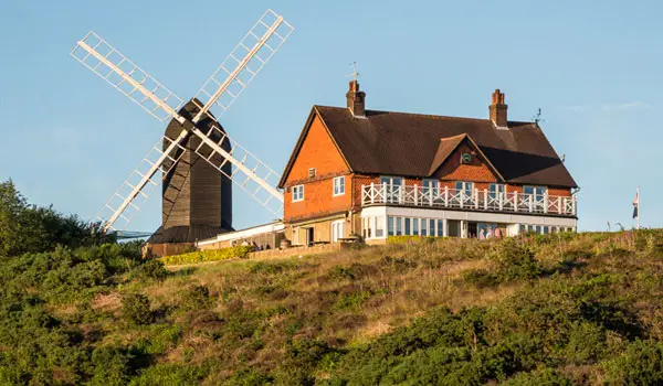
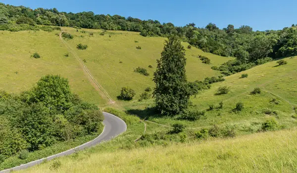
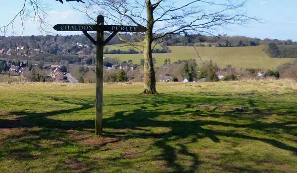
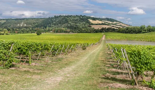
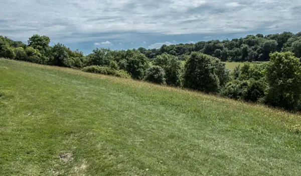
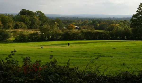
You then have to cross over a footbridge over the M25 (which is an experience in itself), and you are then rewarded with a glorious bit of walking along the top of Colley Hill with far reaching views to enjoy before crossing back over the motorway and heading back to the start.

Margery Wood Walk 1 No ratings yet Be the first - rate this walk in the Surrey Walks App

Walk information

Margery Wood Walk 2

Walk distance
4¼ miles
Time
2 hours
Route type
Circular

If you have a bit more time and energy, then this second route is an extended version of the first walk that enjoys the Margery Wood and crosses the M25 to the top of Colley Hill for some views.

However, the extra distance is then made up of a big extra loop of walking around the pretty woodland and heathlands of Banstead Heath.

There is also a pub towards the end of this route for some well earned refreshments if you so desire.

Refreshments:

The Sportsman, Mogador

Margery Wood Walk 2 No ratings yet Be the first - rate this walk in the Surrey Walks App

Walk information

Margery Wood Walk 3

Walk distance
6 miles
Time
3 hours
Route type
Circular

This final route option is a longer and considerably more strenuous walk for those of you that want lots of lovely views whilst having a real workout.

Like the second route, this walk enjoys the views of Colley Hill, the pretty woodlands of Margery Wood and the heathland of Banstead Heath. However, this route also heads further to the east until it reaches the interesting Reigate hill fort.

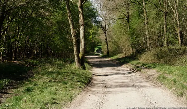
After that, it descends 90m worth of altitude down a very steep hill before embarking on a long walk along the bottom of Colley Hill through woodland tracks. Of course, as you went down, you then have to come back up, so prepare yourself for a steep climb back up the hill before crossing the M25 and continuing the walk into the heath.

Refreshments:

The Sportsman, Mogador

Margery Wood Walk 3 No ratings yet Be the first - rate this walk in the Surrey Walks App

Navigate the walks

Surrey Walks App

Follow the Margery Wood walks with GPS guidance

It's like sat-nav, but for footpaths.

Choose a walk and follow the pointer showing your live position on the route map, so you always know you're on the right path.

The app works without a phone signal, so you can keep following the route wherever the walk takes you.

Download the app

Download on the App Store Get it on Google Play
Surrey Walks app showing the walker's live position on a route map

Designed to be simple

  • Choose a walk and follow the pointer
  • See your live position on the route map
  • Works without a phone signal
  • Includes 150+ Surrey walks
  • Free one-month trial
  • Available for iPhone and Android

Explore the area

Nearby walks

Explore the county

Surrey walks map

Map data © OpenStreetMap contributors

Search Surrey walks

See where the walks start, explore the area and tap a pin to find a route for your next adventure.

Search Surrey walks
Expanded route map for Margery Wood Walk 1, a 2.25 mile circular walk in Surrey