
At a glance
Culmstock Beacon Walk
- Distance
- 3.75 miles
- Estimated time
- 2 hours
- Route type
- Circular
- GPS app guided
- Yes
- Parking
- Roadside parking 50.91903, -3.27989
- Characteristics
- Hills, Countryside, Pub
Somerset Walks
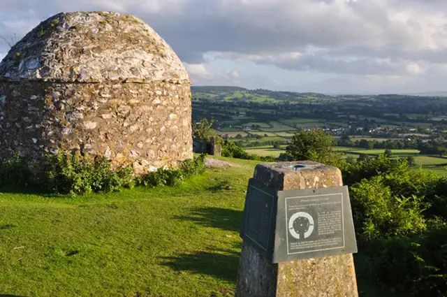
Set on the Somerset–Devon border, this walk from Culmstock climbs to the panoramic heights of Culmstock Beacon, where sweeping views stretch across the Blackdown Hills.
With open countryside, heather-clad commons and a touch of history along the way, this invigorating route offers a rewarding challenge before looping back to the village for well-earned refreshments.
Download the Somerset Walks App to follow this route with real-time GPS navigation.


At a glance
The walk
This invigorating walk begins in the village of Culmstock which is close to the Somerset and Devon county border.
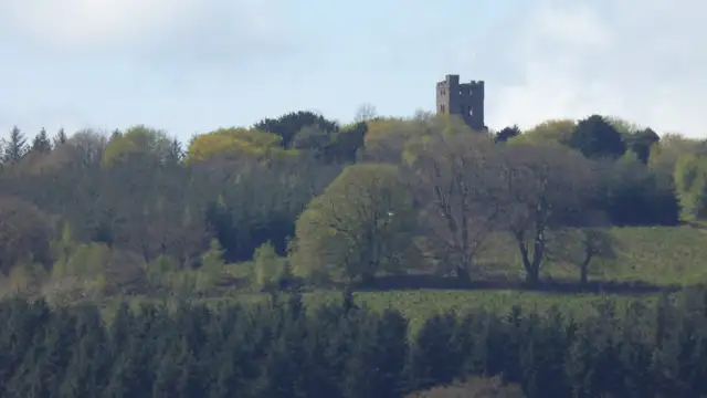
This walk features a variety of terrain, including open countryside and hills with stunning scenery. Highlights include panoramic views from Culmstock Beacon, perched high on Blackdown Common.
It was once part of a network of Elizabethan signaling beacons and the area is now a wildlife haven with a distinctive beehive-shaped hut.
The views are especially beautiful in late summer when the heather is in bloom. The route then loops back through the picturesque English countryside to Culmstock.
Note that this challenging walk includes hilly sections and some road walking. Afterward, you can stop by the Culm Valley Inn for refreshments.
Based on 2 user ratings
A well-liked walk
Limited for dogs
Reasonable paths
Hard going with a buggy
Not wheelchair accessible
Very limited facilities
Quite good
Accurate
Real feedback from people who have completed this walk using the Somerset Walks app.
First-hand experiences
Lovely walk clockwise to the beacon - coming back down however, complete bog for about 15 minutes! Completely ruined our shoes and came home covered. Otherwise lovely walk
Comments from walkers who have completed the Culmstock Beacon walk.
Navigate the walks
The easiest way to follow this route is with the Somerset Walks app. Choose the walk and follow the pointer showing your live position on the route map, so you can see you're on the right path.
The app works without a phone signal, so you can keep following the route wherever the walk takes you.

Explore the area
 2.25-5.25 miles
 1.75 miles
 4.5 miles
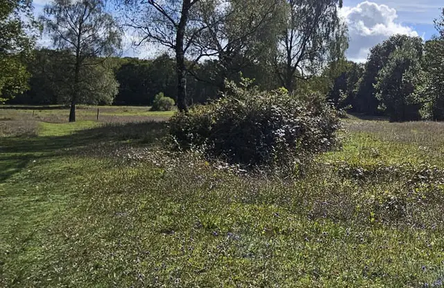 0.75-2 miles
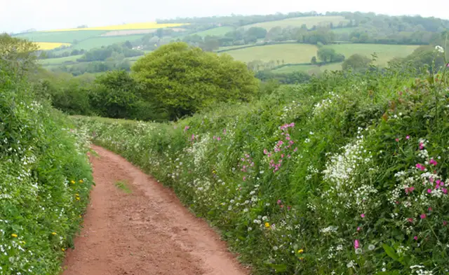 3 miles
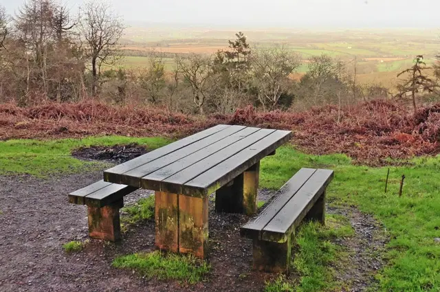 0.75-2.5 miles
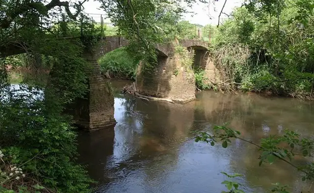 0.75-1.75 miles
 1-4 miles
 1.25 miles
 5 miles
 1.5-6.25 miles
 1.25 miles
 4.75 miles
 2.25 miles
 1.75-3.75 miles
Explore the county
See where the walks start, explore the area and tap a pin to find a route for your next adventure.
Search Somerset walks