

Kent Walks

White Horse Wood Walks & Route Maps

White Horse Wood walk, Kent
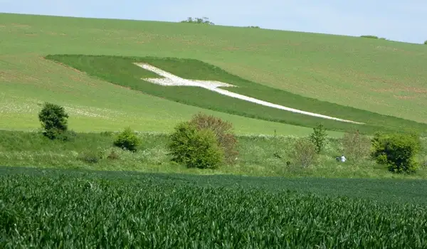
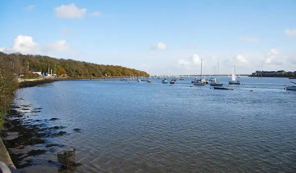
White Horse Wood · Photo: Martin Coull

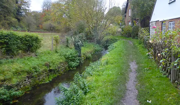
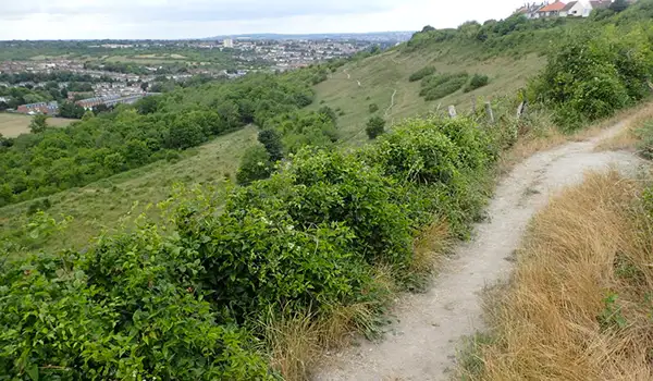
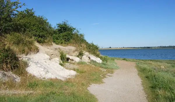
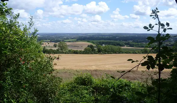
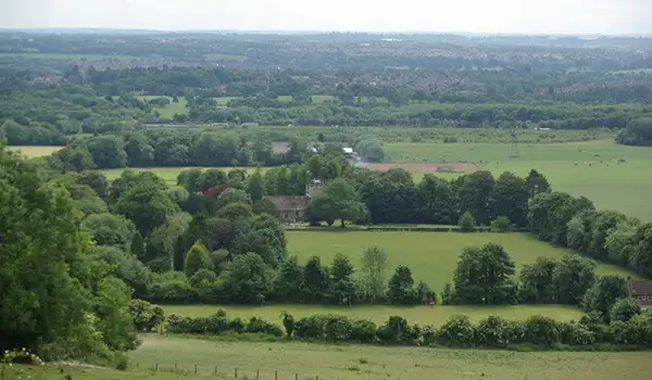
These walks around White Horse Wood Country Park combine wide North Downs views with plenty of local history.

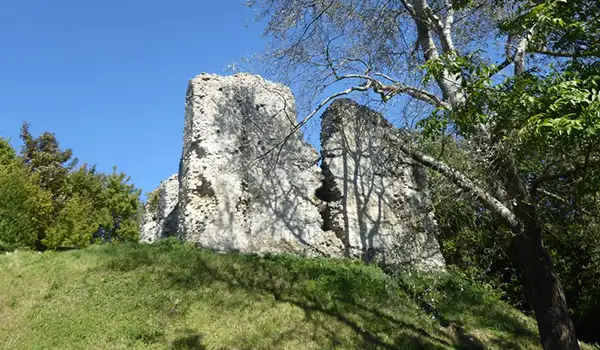
From open grassland and woodland trails to the ruins of Thurnham Castle, the routes offer a varied mix of scenery and heritage above the Medway Valley.

The longer option also follows part of the North Downs Way and passes St Mary the Virgin Church along the way.

If you fancy refreshments afterwards, The Black Horse Inn is a short detour from the routes and marked on the map.

Download the Kent Walks App to follow these routes with real-time GPS navigation.

Download on the App Store Get it on Google Play

Walk information

White Horse Wood Walk 1

Walk distance
1 mile
Time
30 mins
Route type
Circular

This short walk through White Horse Wood Country Park offers wide North Downs views.

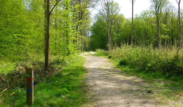
It’s an easy route combining open grassland, new woodland, and the quiet traces of ancient settlements.

A highlight is Thurnham Castle, a Norman ruin whose stone walls still mark the site of a 12th-century stronghold overlooking the Medway Valley.

Although it's not on the route, The Black Horse Inn is a short detour away and is marked on the map if you fancy refreshments.

White Horse Wood Walk 1 No ratings yet Be the first - rate this walk in the Kent Walks App

Walk information

White Horse Wood Walk 2

Walk distance
5¾ miles
Time
3 hours
Route type
Circular

This longer White Horse Wood route explores a rich mix of history and landscape along the North Downs.

It begins through open grassland and young woodland before reaching the ruins of Thurnham Castle, a Norman stronghold.

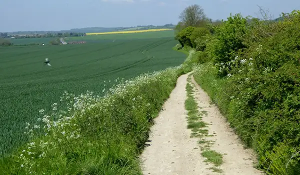
The walk then follows part of the North Downs Way, where wide views stretch across Kent’s rolling countryside, before passing the medieval St Mary the Virgin Church.

The Black Horse Inn is a short detour away and is marked on the map. It offers a welcoming spot for food or a drink after this rewarding walk.

White Horse Wood Walk 2 No ratings yet Be the first - rate this walk in the Kent Walks App

Navigate the walks

Kent Walks App

Follow the White Horse Wood walks with GPS guidance

It's like sat-nav, but for footpaths.

Choose a walk and follow the pointer showing your live position on the route map, so you always know you're on the right path.

The app works without a phone signal, so you can keep following the route wherever the walk takes you.

Download the app

Download on the App Store Get it on Google Play
Kent Walks app showing the walker's live position on a route map

Designed to be simple

  • Choose a walk and follow the pointer
  • See your live position on the route map
  • Works without a phone signal
  • Includes 150 Kent walks
  • Free one-month trial
  • Available for iPhone and Android

Explore the area

Nearby walks

Explore the county

Kent walks map

Map data © OpenStreetMap contributors

Search Kent walks

See where the walks start, explore the area and tap a pin to find a route for your next adventure.

Search Kent walks
Expanded route map for White Horse Wood Walk 1, a 1 mile circular walk in Kent