

Kent Walks

Lower Upnor Walks & Route Maps

Lower Upnor walk, Kent
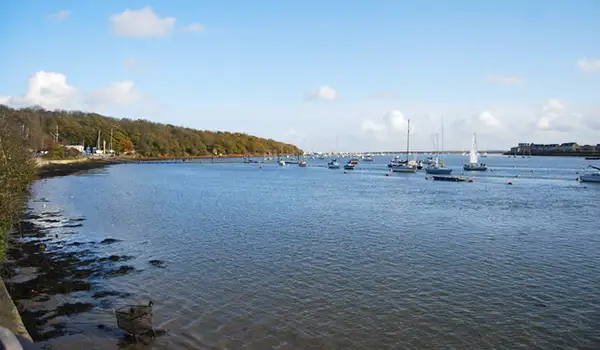
Lower Upnor · Photo: N Chadwick

These walks explore a varied stretch of the Medway estuary, where wooded slopes, historic paths, and wide tidal views come together in one interesting landscape.

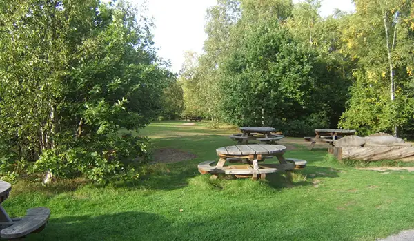
The routes begin in Cockham Wood, where tall oaks and chestnuts rise above the riverbank, before joining the Saxon Shore Way, a historic trail that follows the line of ancient Roman defences.

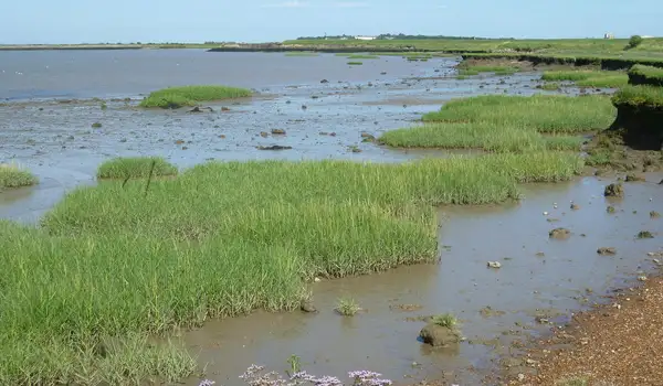
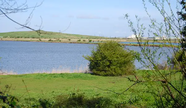
The longer of the walks continues out towards the open expanse of Hoo Flats, where saltmarsh and mudflats attract large numbers of birds, before looping back past Port Werburgh’s marina and returning to views of the River Medway.

With a mix of woodland, riverside paths, and coastal wildlife, these walks offer a rewarding glimpse of this ever-changing corner of north Kent.

Download the Kent Walks App to follow these routes with real-time GPS navigation.

Download on the App Store Get it on Google Play

Walk information

Lower Upnor Walk 1

Walk distance
4 miles
Time
2 hours
Route type
Circular

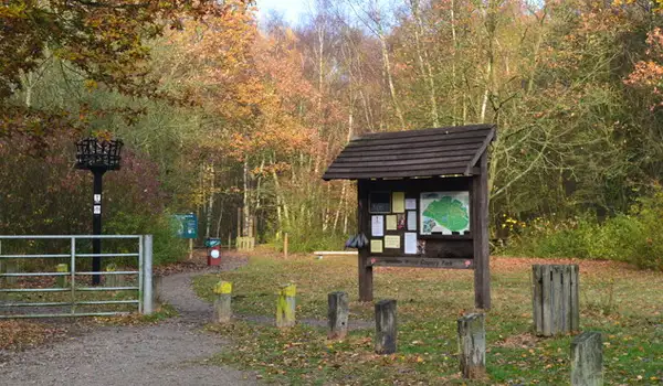
This first route begins with the wooded slopes of Cockham Wood, where tall oaks and chestnut trees rise sharply from the river’s edge.

From here the trail links with the Saxon Shore Way, a historic long-distance path tracing the line of ancient Roman defences.

A pub stop and riverside café add a friendly pause before the walk reaches Port Werburgh, a modern marina alive with houseboats and yachts.

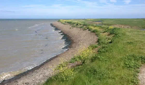
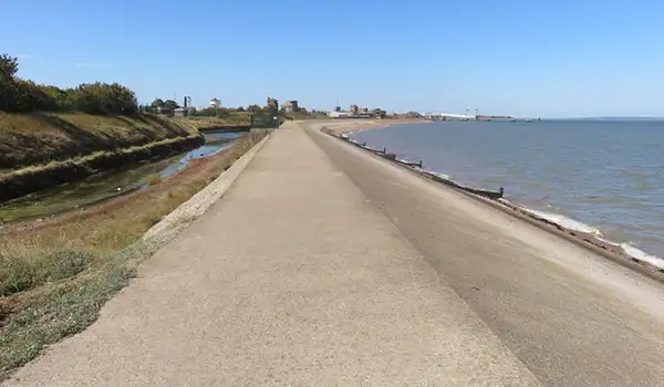
The route closes with wide views of the River Medway itself, a tidal stretch shaped by shipbuilding, naval history, and the shifting rhythms of migrating birds.

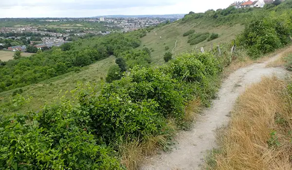
Lower Upnor Walk 1 No ratings yet Be the first - rate this walk in the Kent Walks App

Walk information

Lower Upnor Walk 2

Walk distance
6¾ miles
Time
3.5 hours
Route type
Circular

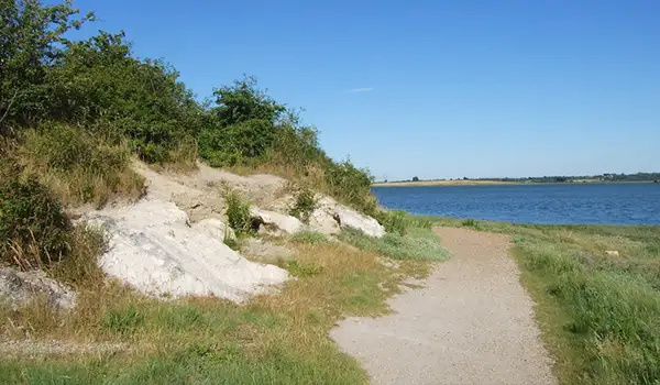
This longer walk also begins by taking you through Cockham Wood, where ancient oaks and chestnuts rise above traces of old chalk workings.

The route then meets the Saxon Shore Way, echoing the line of Roman coastal defences, before passing a welcoming pub if you fancy an early pitstop.

Further along the walk lies the expanse of Hoo Flats, a tidal landscape where shifting mud and saltmarsh provide vital feeding grounds for wading birds and wintering wildfowl.

On the way back, a café offers refreshments before the route moves on to Port Werburgh, a marina of yachts and boats contrasting with the wild edges of the estuary.

The walk closes with sweeping views of the River Medway, a tidal waterway rich in history and still alive with the rhythms of tide and migration.

Lower Upnor Walk 2 No ratings yet Be the first - rate this walk in the Kent Walks App

Navigate the walks

Kent Walks App

Follow the Lower Upnor walks with GPS guidance

It's like sat-nav, but for footpaths.

Choose a walk and follow the pointer showing your live position on the route map, so you always know you're on the right path.

The app works without a phone signal, so you can keep following the route wherever the walk takes you.

Download the app

Download on the App Store Get it on Google Play
Kent Walks app showing the walker's live position on a route map

Designed to be simple

  • Choose a walk and follow the pointer
  • See your live position on the route map
  • Works without a phone signal
  • Includes 150 Kent walks
  • Free one-month trial
  • Available for iPhone and Android

Explore the area

Nearby walks

Explore the county

Kent walks map

Map data © OpenStreetMap contributors

Search Kent walks

See where the walks start, explore the area and tap a pin to find a route for your next adventure.

Search Kent walks
Expanded route map for Lower Upnor Walk 1, a 4 mile circular walk in Kent