Kent Walks

Milton Creek Walks & Route Maps

Milton Creek walk, Kent
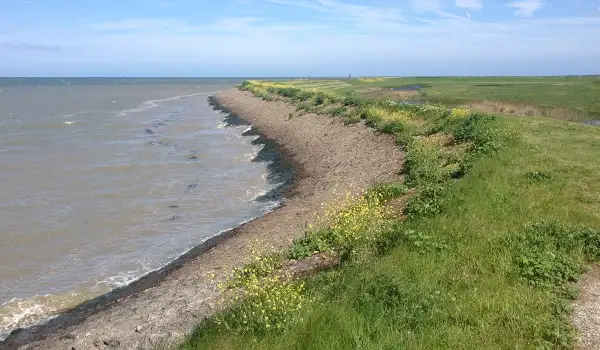
Milton Creek · Photo: N Chadwick

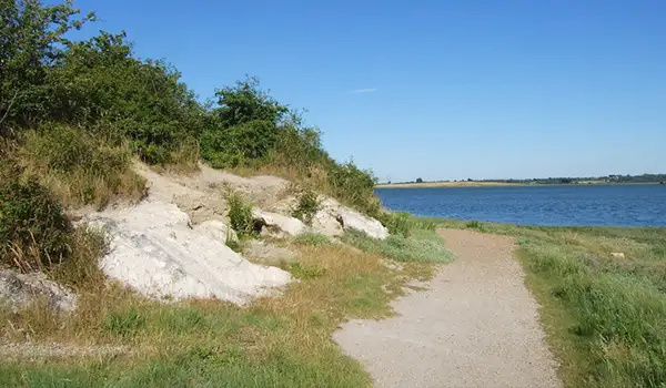
These walks explore the green edge of Sittingbourne, where former industrial land has been transformed into a peaceful waterside landscape of meadows, reedbeds, and open water.

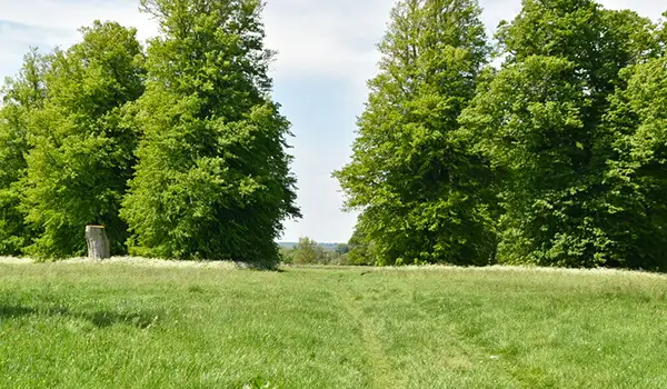
In Milton Creek Country Park, the routes pass through quiet paths surrounded by wildflowers and wetlands.

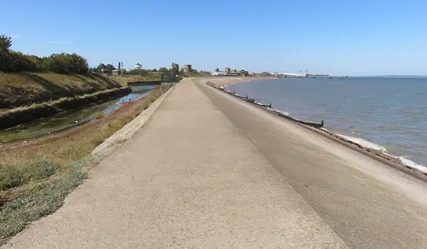
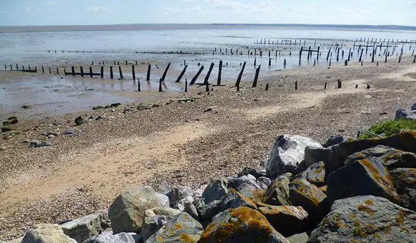
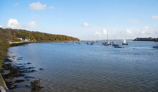
The longer of the walks continues along the line of Milton Creek itself, following its tidal course out towards Little Murston Nature Reserve, a calm mix of saltmarsh and shallow water that feels surprisingly remote.

With easy paths, changing scenery, and plenty of wildlife interest, these walks offer a relaxing way to explore this restored corner of Kent’s north coast.

Download the Kent Walks App to follow these routes with real-time GPS navigation.

Download on the App Store Get it on Google Play

Walk information

Milton Creek Walk 1

Walk distance
1¼ miles
Time
30 mins
Route type
Circular

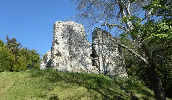
This short Milton Creek walk explores the peaceful landscapes of Milton Creek Country Park.

Once an industrial site, it’s now a haven of meadows, a pond, and reedbeds where herons and dragonflies can sometimes be seen.

Milton Creek Walk 1 No ratings yet Be the first - rate this walk in the Kent Walks App

Walk information

Milton Creek Walk 2

Walk distance
5½ miles
Time
3 hours
Route type
Circular

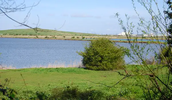
If you have more time, this second Milton Creek route is a much longer adventure that links parkland, tidal water, and estuary scenery for a fuller exploration of Sittingbourne’s green edge.

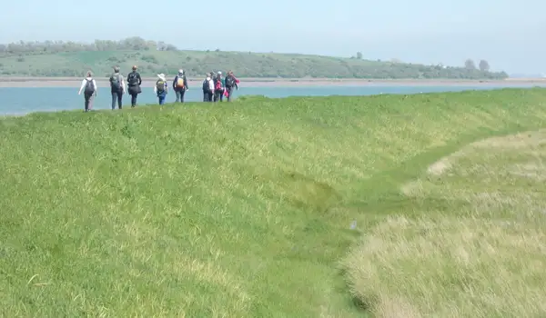
Starting in Milton Creek Country Park, the path leads through meadows and wetlands alive with birds and seasonal wildflowers. It then follows the line of the creek itself, once busy with barges but now a quiet stretch where mudflats and reedbeds provide refuge for herons and waders.

The route continues towards Little Murston Nature Reserve, which is a peaceful pocket of saltmarsh and open water.

The walk can be split into shorter sections, making it easy to enjoy just part of this relaxed, nature-rich journey along the Swale’s tidal landscape.

Milton Creek Walk 2 No ratings yet Be the first - rate this walk in the Kent Walks App

Navigate the walks

Kent Walks App

Follow the Milton Creek walks with GPS guidance

It's like sat-nav, but for footpaths.

Choose a walk and follow the pointer showing your live position on the route map, so you always know you're on the right path.

The app works without a phone signal, so you can keep following the route wherever the walk takes you.

Download the app

Download on the App Store Get it on Google Play
Kent Walks app showing the walker's live position on a route map

Designed to be simple

  • Choose a walk and follow the pointer
  • See your live position on the route map
  • Works without a phone signal
  • Includes 150 Kent walks
  • Free one-month trial
  • Available for iPhone and Android

Explore the area

Nearby walks

Explore the county

Kent walks map

Map data © OpenStreetMap contributors

Search Kent walks

See where the walks start, explore the area and tap a pin to find a route for your next adventure.

Search Kent walks
Expanded route map for Milton Creek Walk 1, a 1.25 mile circular walk in Kent