

Kent Walks

Richborough Castle Walks & Route Maps

Richborough Castle walk, Kent
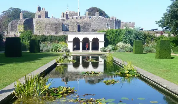
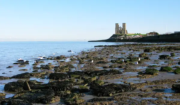
Richborough Castle · Photo: Philip Halling

These walks explore the remarkable Roman landscape at Richborough, where ancient history, open marshland, and riverside paths come together in one compact but fascinating area.

Both routes begin at Richborough Fort, where the remaining stone walls give a clear sense of the scale and importance of this once major Roman stronghold and later Saxon Shore defence site.

The shorter of the walks links the fort with the nearby amphitheatre and finishes along the River Stour, a quiet waterway that once served as a busy Roman harbour.

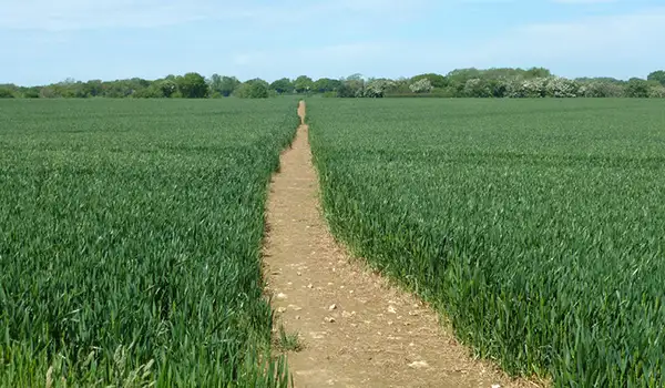
The longer of the walks continues further across the flat landscape of Ash Level before returning to the amphitheatre, offering a broader view of the surrounding marshes and the area’s long military and trading history.

Download the Kent Walks App to follow these routes with real-time GPS navigation.

Download on the App Store Get it on Google Play

Walk information

Richborough Castle Walk 1

Walk distance
2 miles
Time
1 hour
Route type
Circular

This short route explores the heart of Richborough, beginning at the Roman fort where towering stone walls still hint at the scale of Britain’s earliest military stronghold.

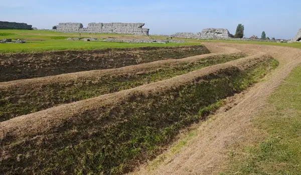
Just beyond lies the amphitheatre, its earthwork outlines showing where thousands once gathered for gladiatorial games and public spectacles.

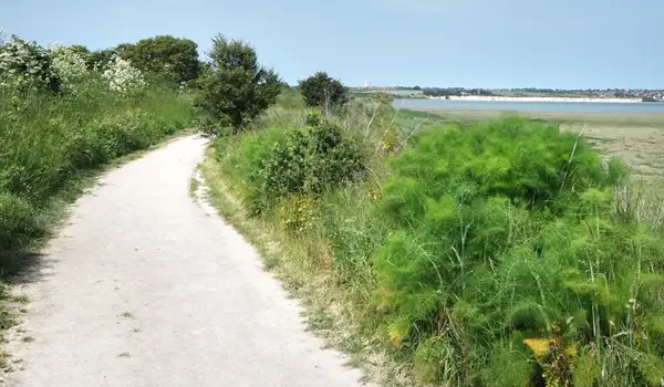
The walk finishes with a little stretch alongside the River Stour, a quiet waterway today but once a bustling Roman harbour where ships brought soldiers and supplies inland.

Richborough Castle Walk 1 No ratings yet Be the first - rate this walk in the Kent Walks App

Walk information

Richborough Castle Walk 2

Walk distance
8½ miles
Time
4.5 hours
Route type
Circular

If you want a full day's adventure, then this second epic route begins at Richborough Fort, where towering Roman walls still mark the site of the AD 43 invasion and later Saxon Shore defences.

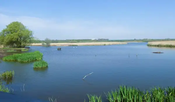
From there, the path follows the River Stour, once a bustling Roman harbour and now a quieter stretch of reedbeds and marsh where waders and wildfowl can sometimes be seen.

The open skies of Ash Level follow, a flat expanse of farmland and wetland shaped by centuries of drainage and river change.

The walk concludes at the Roman amphitheatre, its earthwork arena still visible as a reminder of the crowds and spectacles that once filled this frontier settlement.

Richborough Castle Walk 2 No ratings yet Be the first - rate this walk in the Kent Walks App

Navigate the walks

Kent Walks App

Follow the Richborough Castle walks with GPS guidance

It's like sat-nav, but for footpaths.

Choose a walk and follow the pointer showing your live position on the route map, so you always know you're on the right path.

The app works without a phone signal, so you can keep following the route wherever the walk takes you.

Download the app

Download on the App Store Get it on Google Play
Kent Walks app showing the walker's live position on a route map

Designed to be simple

  • Choose a walk and follow the pointer
  • See your live position on the route map
  • Works without a phone signal
  • Includes 150 Kent walks
  • Free one-month trial
  • Available for iPhone and Android

Explore the area

Nearby walks

Explore the county

Kent walks map

Map data © OpenStreetMap contributors

Search Kent walks

See where the walks start, explore the area and tap a pin to find a route for your next adventure.

Search Kent walks
Expanded route map for Richborough Castle Walk 1, a 2 mile circular walk in Kent