

Kent Walks

Crab and Winkle Way Walks & Route Maps

Crab and Winkle Way walk, Kent
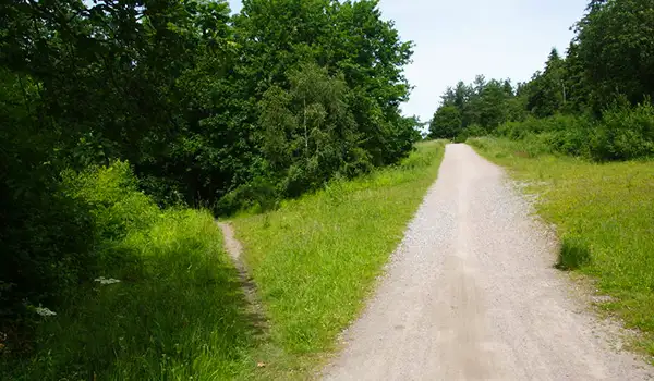
Crab and Winkle Way · Photo: Bill Boaden

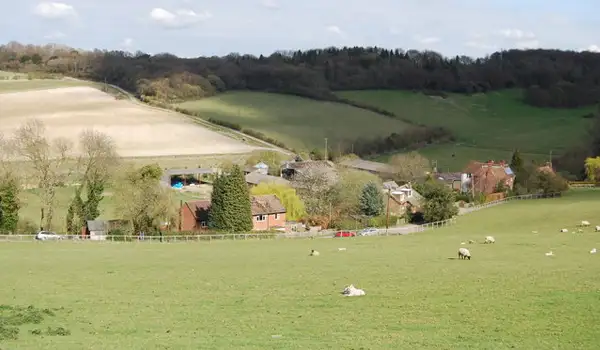
These walks follow part of the Crab and Winkle Way in Kent, a historic route linking Canterbury and Whitstable that now provides a pleasant mix of woodland, countryside and heritage along a former railway line.

Both routes pass through Clowes Wood and the Winding Pond area, where the old railway history still shapes the landscape, with the longer walk continuing all the way to the coast before returning, or offering the option of a bus back between Whitstable and Canterbury.

Download the Kent Walks App to follow these routes with real-time GPS navigation.

Download on the App Store Get it on Google Play

Walk information

Crab and Winkle Way Walk 1

Walk distance
6¾ miles
Time
3.5 hours
Route type
Circular

The Crab and Winkle Way is a popular walking and cycling route and this first route is a there and back walk that explores a section of the path.

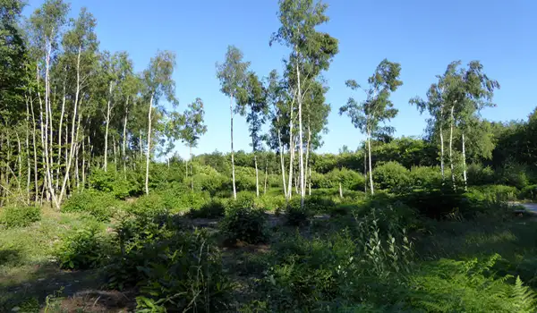
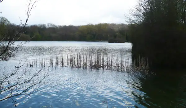
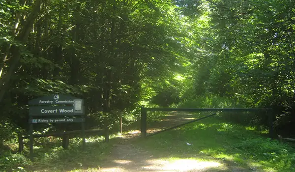
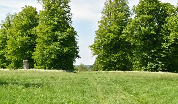
The trail takes you as far as the Winding Pond, once home to a winding engine that hauled early trains up the incline, and also the ancient woodland of Clowes Wood.

Here, oak and chestnut trees create a cool, green canopy alive with birds and butterflies.

Crab and Winkle Way Walk 1 No ratings yet Be the first - rate this walk in the Kent Walks App

Walk information

Crab and Winkle Way Walk 2

Walk distance
13¾ miles
Time
7 hours
Route type
Circular

This epic Crab and Winkle Way route follows the full length of the historic line between Canterbury and Whitstable - a long, linear walk popular with both walkers and cyclists. The trail traces one of Britain’s earliest railways, weaving through gentle countryside and woodland on its way to the coast.

Along the route, the Winding Pond and Clowes Wood offer peaceful breaks among trees and wildlife, before reaching the coast for a well-earned rest or refreshment stop.

It’s a one-way journey there and back, but if you’d prefer not to retrace your steps, a bus runs between Whitstable and Canterbury - check times, bus stop locations and service availability before setting out.

Crab and Winkle Way Walk 2 No ratings yet Be the first - rate this walk in the Kent Walks App

Navigate the walks

Kent Walks App

Follow the Crab and Winkle Way walks with GPS guidance

It's like sat-nav, but for footpaths.

Choose a walk and follow the pointer showing your live position on the route map, so you always know you're on the right path.

The app works without a phone signal, so you can keep following the route wherever the walk takes you.

Download the app

Download on the App Store Get it on Google Play
Kent Walks app showing the walker's live position on a route map

Designed to be simple

  • Choose a walk and follow the pointer
  • See your live position on the route map
  • Works without a phone signal
  • Includes 150 Kent walks
  • Free one-month trial
  • Available for iPhone and Android

Explore the area

Nearby walks

Explore the county

Kent walks map

Map data © OpenStreetMap contributors

Search Kent walks

See where the walks start, explore the area and tap a pin to find a route for your next adventure.

Search Kent walks
Expanded route map for Crab and Winkle Way Walk 1, a 6.75 mile circular walk in Kent