

Kent Walks

Oare Marshes Walks & Route Maps

Oare Marshes walk, Kent
Oare Marshes · Photo: Peter S

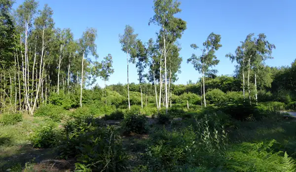
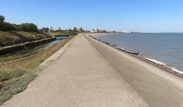
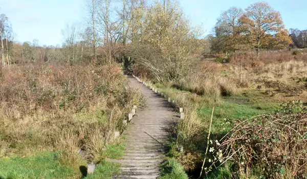
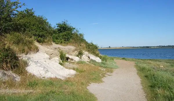
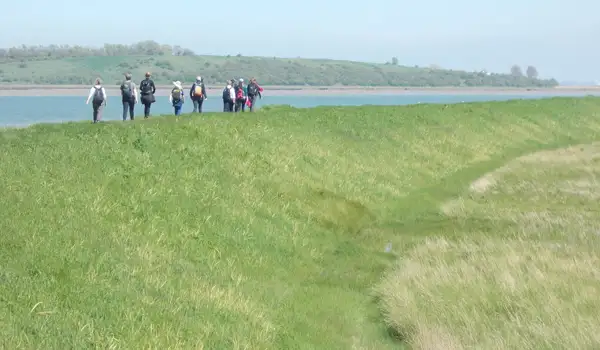
Oare Marshes in Kent offers these walks, blending wide skies, grazing marsh, and tidal mudflats into a peaceful wetland experience.

The shorter route captures the character of the marshes, with seasonal birdlife, a detour to a viewpoint, and stretches along the Saxon Shore Way and King Charles III England Coast Path.

The longer walk explores the estuary more fully, passing Oare village, Oare Creek, and moored boats that hint at the area’s maritime past.

Both walks showcase nationally important wildlife, historic paths, and the calm, open atmosphere of Kent’s marshland, making them a rewarding choice for a few hours outdoors.

Download the Kent Walks App to follow these routes with real-time GPS navigation.

Download on the App Store Get it on Google Play

Walk information

Oare Marshes Walk 1

Walk distance
1¾ miles
Time
1 hour
Route type
Circular

This first walk at Oare Marshes is a short stroll that captures the atmosphere of one of Kent’s richest wetland landscapes.

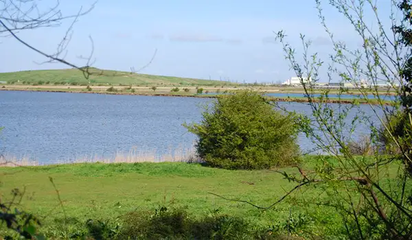
Wide skies, grazing marsh, and tidal mudflats set the scene, with birdlife a constant presence - from breeding avocets and redshanks in spring to winter flocks gathering along the estuary.

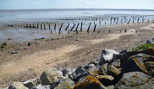
The route follows stretches of both the Saxon Shore Way and the King Charles III England Coast Path, tying together history and nature. Here, ancient coastal defences, traces of maritime industry, and internationally important wildlife all share the same open landscape.

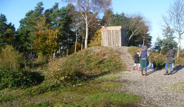
There is also a short detour to a viewpoint within the marshes. A compact route, but full of character and variety.

Oare Marshes Walk 1 No ratings yet Be the first - rate this walk in the Kent Walks App

Walk information

Oare Marshes Walk 2

Walk distance
5¼ miles
Time
2.5 hours
Route type
Circular

This second longer walk explores the breadth of Oare’s estuary landscape, where wide skies meet grazing marsh and tidal mudflats.

Following the King Charles III England Coast Path, the route opens onto Oare Marshes, a nationally important reserve alive with seasonal birdlife and shifting light across the wetlands.

After a visit to Oare itself with it's pub options, the walk picks up Oare Creek, where tidal waters and moored boats reflect the area’s maritime past.

The Saxon Shore Way adds another layer of history, tracing the line of Roman-era defences.

Oare Marshes Walk 2 No ratings yet Be the first - rate this walk in the Kent Walks App

Navigate the walks

Kent Walks App

Follow the Oare Marshes walks with GPS guidance

It's like sat-nav, but for footpaths.

Choose a walk and follow the pointer showing your live position on the route map, so you always know you're on the right path.

The app works without a phone signal, so you can keep following the route wherever the walk takes you.

Download the app

Download on the App Store Get it on Google Play
Kent Walks app showing the walker's live position on a route map

Designed to be simple

  • Choose a walk and follow the pointer
  • See your live position on the route map
  • Works without a phone signal
  • Includes 150 Kent walks
  • Free one-month trial
  • Available for iPhone and Android

Explore the area

Nearby walks

Explore the county

Kent walks map

Map data © OpenStreetMap contributors

Search Kent walks

See where the walks start, explore the area and tap a pin to find a route for your next adventure.

Search Kent walks
Expanded route map for Oare Marshes Walk 1, a 1.75 mile circular walk in Kent