

Kent Walks

Allhallows Marshes Walks & Route Maps

Allhallows Marshes walk, Kent
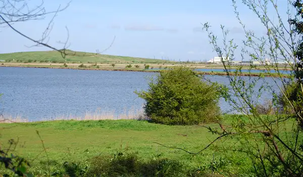
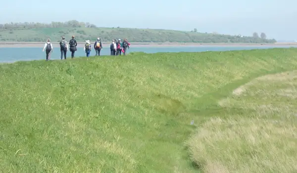
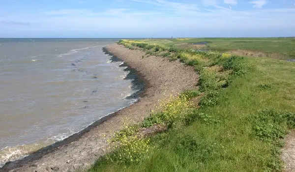
Allhallows Marshes · Photo: Chris Whippet

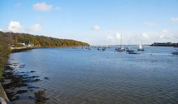
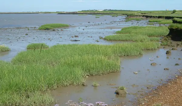
Allhallows Marshes in Kent is a place of wide skies, tidal creeks and sweeping estuary views, and these walks make the most of its open, ever-changing landscape.

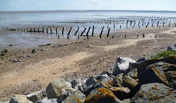
Saltmarsh and mudflats stretch towards the Thames Estuary, where waders and wildfowl can sometimes be seen feeding across the shoreline.

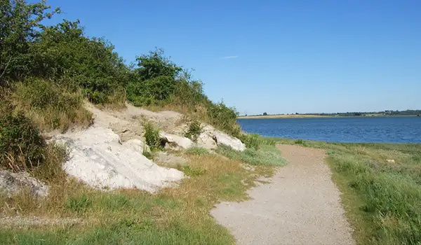
The walks follow sections of the King Charles III England Coast Path and explore the edges of Dagnam Saltings, with the longer option also tracing historic Yantlet Creek.

Together, they offer a peaceful blend of wildlife, maritime history and big coastal horizons - a refreshing escape into one of Kent’s most atmospheric corners.

Download the Kent Walks App to follow these routes with real-time GPS navigation.

Download on the App Store Get it on Google Play

Walk information

Allhallows Marshes Walk 1

Walk distance
3 miles
Time
1.5 hours
Route type
Circular

This shorter route offers a refreshing taste of the estuary landscape, beginning on the wide, open Allhallows Marshes where tidal creeks and saltmarsh stretch out under big skies. Waders and wildfowl can sometimes be spotted feeding on the mudflats.

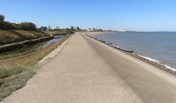
It then follows a section of the King Charles III England Coast Path, part of the national trail that encircles all of England. The views across the Thames Estuary here feel expansive and full of character.

The walk finishes with a loop past the edges of the quiet Dagnam Saltings (which you can explore if you wish), where winding creeks and shifting tides create a peaceful, remote atmosphere.

Allhallows Marshes Walk 1 No ratings yet Be the first - rate this walk in the Kent Walks App

Walk information

Allhallows Marshes Walk 2

Walk distance
6 miles
Time
3 hours
Route type
Circular

This longer route takes in more of the wide open spaces of Allhallows Marshes, where tidal creeks and saltmarsh create a shifting, atmospheric landscape.

It continues for a walk alongside Yantlet Creek, a tidal channel with a rich maritime history, once marking the boundary between the Thames and Medway.

After a visit to Allhallows village, the walk then passes the edges of quiet Dagnam Saltings, where the winding creeks give a sense of solitude and calm, and you can optionally explore this if you wish.

The final stretch follows the King Charles III England Coast Path back to the start, offering sweeping estuary views and a chance to enjoy a stretch of England’s evolving national trail.

Allhallows Marshes Walk 2 No ratings yet Be the first - rate this walk in the Kent Walks App

Navigate the walks

Kent Walks App

Follow the Allhallows Marshes walks with GPS guidance

It's like sat-nav, but for footpaths.

Choose a walk and follow the pointer showing your live position on the route map, so you always know you're on the right path.

The app works without a phone signal, so you can keep following the route wherever the walk takes you.

Download the app

Download on the App Store Get it on Google Play
Kent Walks app showing the walker's live position on a route map

Designed to be simple

  • Choose a walk and follow the pointer
  • See your live position on the route map
  • Works without a phone signal
  • Includes 150 Kent walks
  • Free one-month trial
  • Available for iPhone and Android

Explore the area

Nearby walks

Explore the county

Kent walks map

Map data © OpenStreetMap contributors

Search Kent walks

See where the walks start, explore the area and tap a pin to find a route for your next adventure.

Search Kent walks
Expanded route map for Allhallows Marshes Walk 1, a 3 mile circular walk in Kent