

Kent Walks

Cliffe Pools Walks & Route Maps

Cliffe Pools walk, Kent
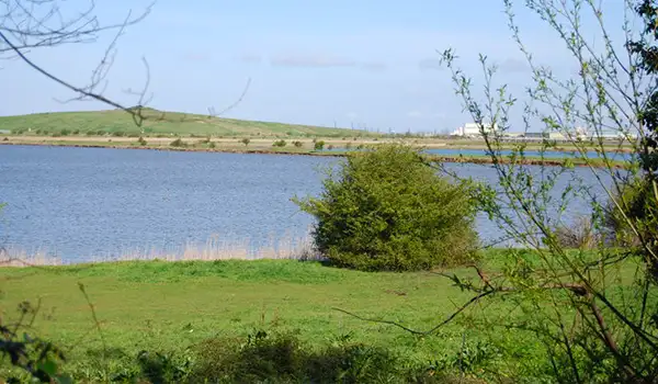
Cliffe Pools · Photo: Marathon

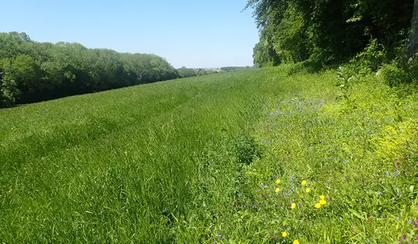
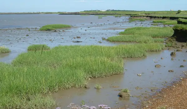
Cliffe Pools in Kent is a landscape of big skies, open water and tidal marsh, and these walks explore its ever-changing estuary setting.

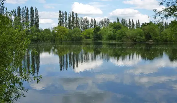
Once worked for gravel, the area is now a thriving wetland, where avocets, redshanks and lapwings can often be seen against the wide backdrop of the Thames.

The walks range from an easy loop around the RSPB-managed Cliffe Pools Nature Reserve to a much longer marshland adventure taking in Higham Saltings, Shorne and Higham Marshes, and the ruins of Shornmead Fort.

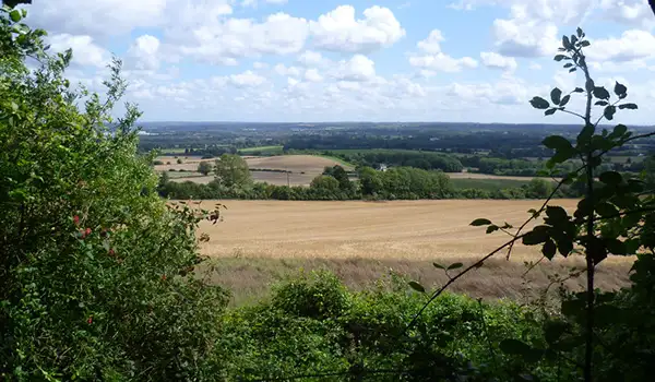
Expect sweeping views, rich birdlife and a striking blend of nature and history throughout.

Download the Kent Walks App to follow these routes with real-time GPS navigation.

Download on the App Store Get it on Google Play

Walk information

Cliffe Pools Walk 1

Walk distance
2¼ miles
Time
1 hour
Route type
Circular

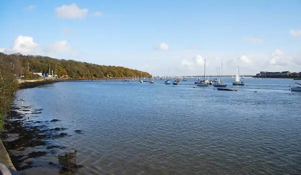
This short walk at Cliffe Pools highlights the mix of open water and wide estuary skies that make the area so distinctive.

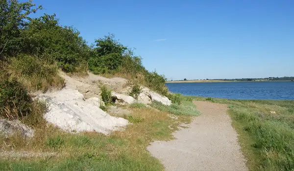
After a short while, you'll enjoy a pause at Flamingo Viewpoint, where broad views stretch across one of the largest lakes, a reminder of the site’s transformation from gravel pits into thriving wetlands.

The path continues around the Cliffe Pools Nature Reserve, managed by the RSPB and valued for its rich birdlife. Avocets, redshanks, and lapwings can often be seen, while seasonal migrations bring shifting flocks through the estuary.

It’s an easy-going route with a calm, expansive feel, blending history, wildlife, and the striking scenery of the Thames marshes.

Cliffe Pools Walk 1 No ratings yet Be the first - rate this walk in the Kent Walks App

Walk information

Cliffe Pools Walk 2

Walk distance
9 miles
Time
4.5 hours
Route type
Circular

This second route option is an epic adventure explores the full breadth of Cliffe Pools and the Thames marshes, beginning with wide waters and rich birdlife at the nature reserve.

A pause at Flamingo Viewpoint brings sweeping views across the lakes, a reminder of how this former industrial site has become a thriving wetland.

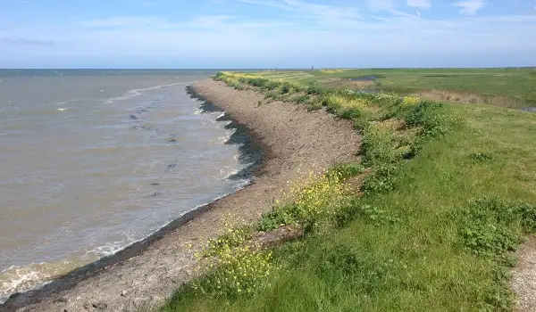
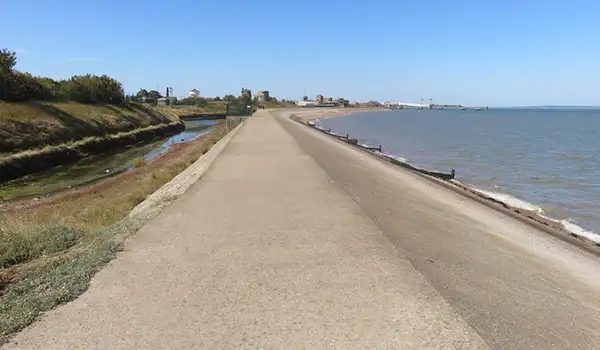
The route then opens out to Higham Saltings, where tidal marsh and shifting skies create a raw estuary feel.

From there, the ruins of Shornmead Fort add a dramatic touch of Victorian history before the walk finishes across Shorne and Higham Marshes.

Cliffe Pools Walk 2 No ratings yet Be the first - rate this walk in the Kent Walks App

Navigate the walks

Kent Walks App

Follow the Cliffe Pools walks with GPS guidance

It's like sat-nav, but for footpaths.

Choose a walk and follow the pointer showing your live position on the route map, so you always know you're on the right path.

The app works without a phone signal, so you can keep following the route wherever the walk takes you.

Download the app

Download on the App Store Get it on Google Play
Kent Walks app showing the walker's live position on a route map

Designed to be simple

  • Choose a walk and follow the pointer
  • See your live position on the route map
  • Works without a phone signal
  • Includes 150 Kent walks
  • Free one-month trial
  • Available for iPhone and Android

Explore the area

Nearby walks

Explore the county

Kent walks map

Map data © OpenStreetMap contributors

Search Kent walks

See where the walks start, explore the area and tap a pin to find a route for your next adventure.

Search Kent walks
Expanded route map for Cliffe Pools Walk 1, a 2.25 mile circular walk in Kent