

Kent Walks

Chilham Walks & Route Maps

Chilham walk, Kent
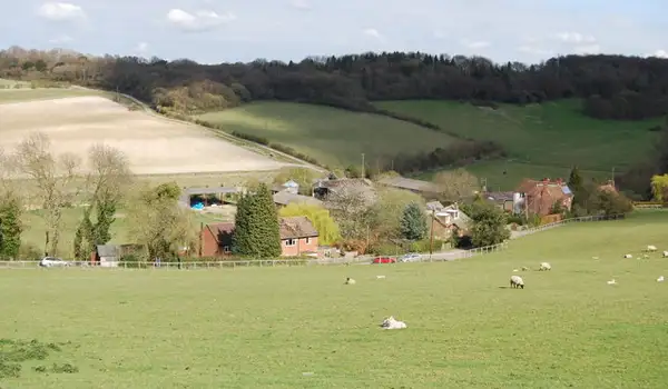
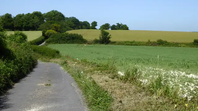
Chilham · Photo: pam fray

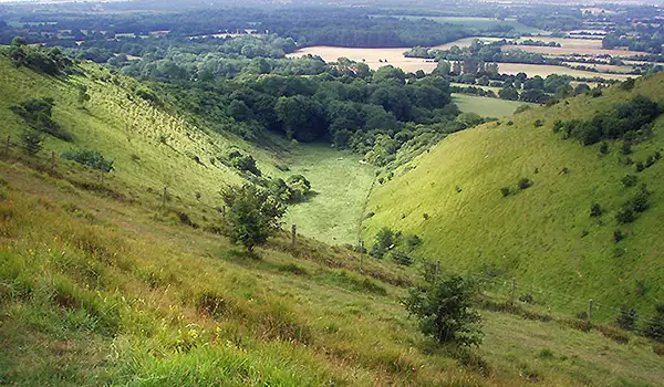
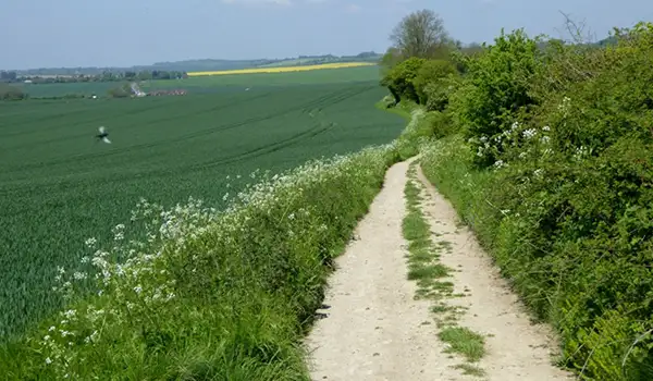
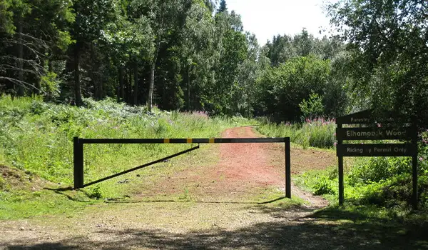
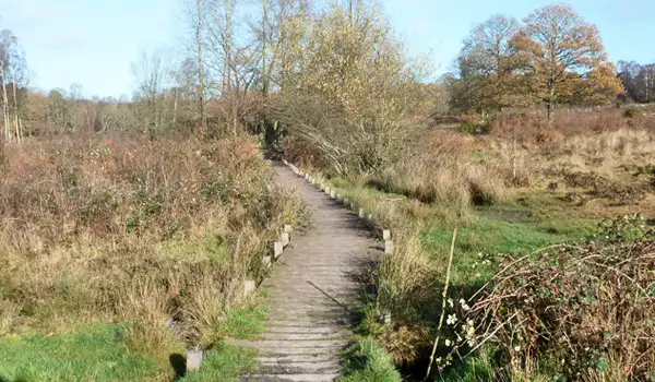
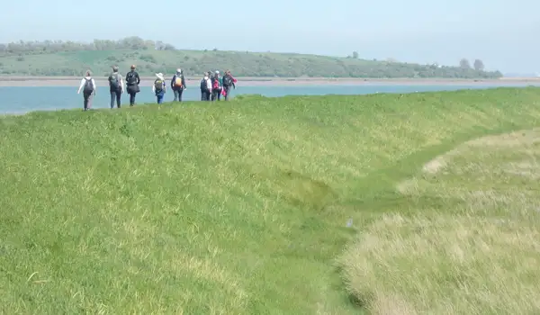
These walks explore the village and surrounding countryside of Chilham in Kent, where historic buildings, quiet water and wooded paths sit together in a compact but varied landscape.

Both routes begin near Chilham Castle and pass Chilham Lake, with the longer walk continuing into Down Wood before returning through surrounding countryside, and both finish in the village where The White Horse and The Woolpack Inn offer welcoming places to stop.

Download the Kent Walks App to follow these routes with real-time GPS navigation.

Download on the App Store Get it on Google Play

Walk information

Chilham Walk 1

Walk distance
3 miles
Time
1.5 hours
Route type
Circular

This Chilham walk blends history, scenery, and village charm in one rewarding route. It begins in the heart of the village, where Chilham Castle’s grand Jacobean architecture overlooks the square - a striking reminder of the area’s long past.

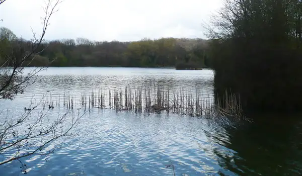
The route continues towards Chilham Lake, a peaceful stretch of water surrounded by trees and wildlife, offering a moment of calm before returning to the village.

Chilham Walk 1 No ratings yet Be the first - rate this walk in the Kent Walks App

Walk information

Chilham Walk 2

Walk distance
6¼ miles
Time
3 hours
Route type
Circular

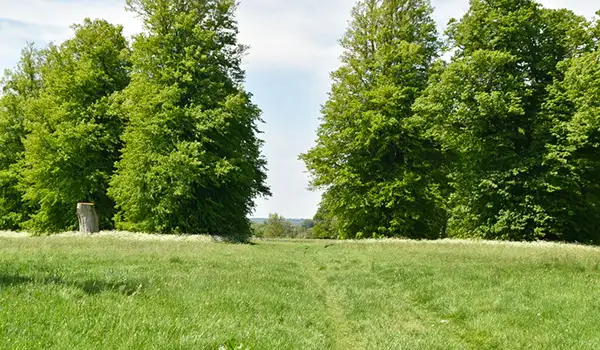
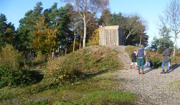
This longer Chilham walk explores a scenic mix of history and countryside, starting near the grand Chilham Castle. From there, the route heads out to the calm waters of Chilham Lake before continuing into the peaceful woodland of Down Wood.

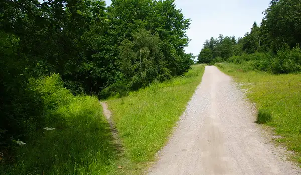
The path offers a balance of open views, shady trails, and moments of quiet reflection - a real taste of rural Kent at its best. Back in the village, The White Horse and The Woolpack Inn make inviting spots to round off the day.

Chilham Walk 2 No ratings yet Be the first - rate this walk in the Kent Walks App

Navigate the walks

Kent Walks App

Follow the Chilham walks with GPS guidance

It's like sat-nav, but for footpaths.

Choose a walk and follow the pointer showing your live position on the route map, so you always know you're on the right path.

The app works without a phone signal, so you can keep following the route wherever the walk takes you.

Download the app

Download on the App Store Get it on Google Play
Kent Walks app showing the walker's live position on a route map

Designed to be simple

  • Choose a walk and follow the pointer
  • See your live position on the route map
  • Works without a phone signal
  • Includes 150 Kent walks
  • Free one-month trial
  • Available for iPhone and Android

Explore the area

Nearby walks

Explore the county

Kent walks map

Map data © OpenStreetMap contributors

Search Kent walks

See where the walks start, explore the area and tap a pin to find a route for your next adventure.

Search Kent walks
Expanded route map for Chilham Walk 1, a 3 mile circular walk in Kent