
At a glance
Steeple Walk
- Distance
- 4 miles
- Estimated time
- 2 hours
- Route type
- Circular
- GPS app guided
- Yes
- Parking
- Roadside parking in village 51.69199, 0.79775
- Characteristics
- Water, Pub
Essex Walks
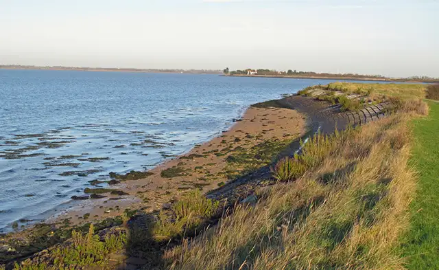
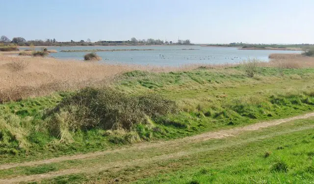
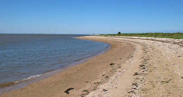
This walk follows the coastal edge near Steeple in Essex, where flat paths run between farmland and the Blackwater Estuary.
Along the way it passes the inlets of Mayland Creek and Steeple Creek, with the route finishing back in the village where The Star offers a place to stop for refreshments.
Download the Essex Walks App to follow this route with real-time GPS navigation.


At a glance
The walk
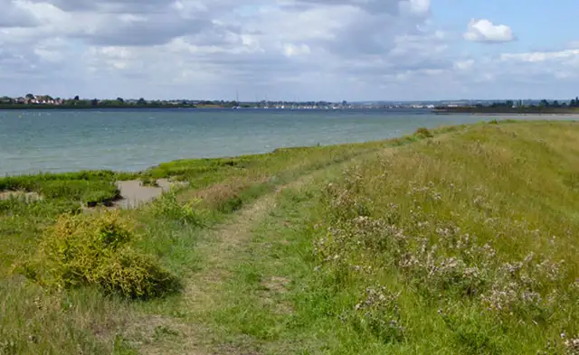
This lovely walk explores the quiet edges of the Blackwater Estuary near Steeple, where flat coastal paths and big skies create a calm, open feel throughout.
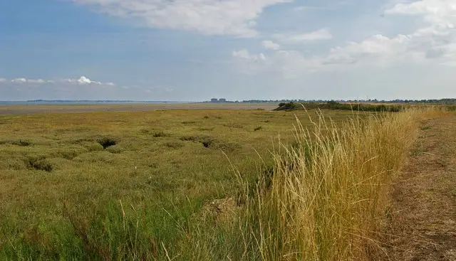
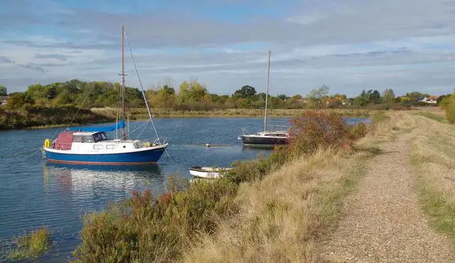
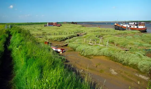
The walk enjoys stretches alongside both Mayland Creek and Steeple Creek, both of which bring the tidal character of the region to life, with mudflats and saltmarsh shifting with the day.
A local pub at the end of the walk offers a relaxed place to round off this easy-going coastal walk with a well-earned reward.
Refreshments:
The Star, Steeple
Based on 1 user rating
An outstanding walk
Dog heaven
Clear and easy
Hard going with a buggy
Not wheelchair accessible
No facilities
Take a packed lunch
Spot on
Real feedback from people who have completed this walk using the Essex Walks app.
First-hand experiences
Really enjoyed this walk , parking limited we were lucky to get a spot outside the church . ...Hot dry day so no mud, I’d imagine this would be different in the winter or if we ever get any rain again . Would recommend going when the tide is in . Good views over rhe Estuary and across the surrounding countryside.
Comments from walkers who have completed the Steeple walk.
Time for a stop
Navigate the walks
The easiest way to follow this route is with the Essex Walks app. Choose the walk and follow the pointer showing your live position on the route map, so you can see you're on the right path.
The app works without a phone signal, so you can keep following the route wherever the walk takes you.

Explore the area
 0.75-14 miles
 8.75 miles
 2.5-7.75 miles
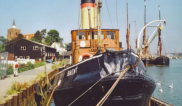
 2.75 miles
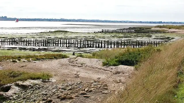
 1.5 miles
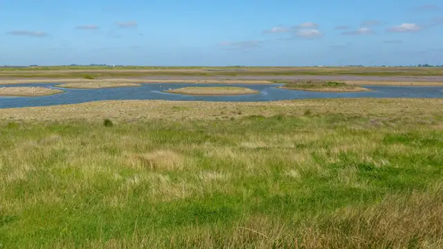
 3.5-7 miles
 4.25-5.5 miles
 1.25-3.25 miles
 3-6 miles
 5.5-9.25 miles
 0.75 miles
 6.25 miles
 4.75-8.5 miles
 1.75 miles
 1.25 miles
Explore the county
See where the walks start, explore the area and tap a pin to find a route for your next adventure.
Search Essex walks